Satellite techniques, such as GNSS systems but also InSAR, are extremely useful, not only for studies of crustal deformation related to tectonics, but also for the active monitoring of landslide phenomena or deformation phenomena related to underground storage deposits, where the injection or extraction of material (gas, CO2, etc.) can determine the swelling or depression of the overlying ground.
In this article we explain how geodetic monitoring complements seismic monitoring to characterize deformation related to gas storage movements in the subsurface. Just as power banks store energy or artificial lakes store water for later use, depleted hydrocarbon fields, such as the one studied in the article, are used to store gas for later exploitation.

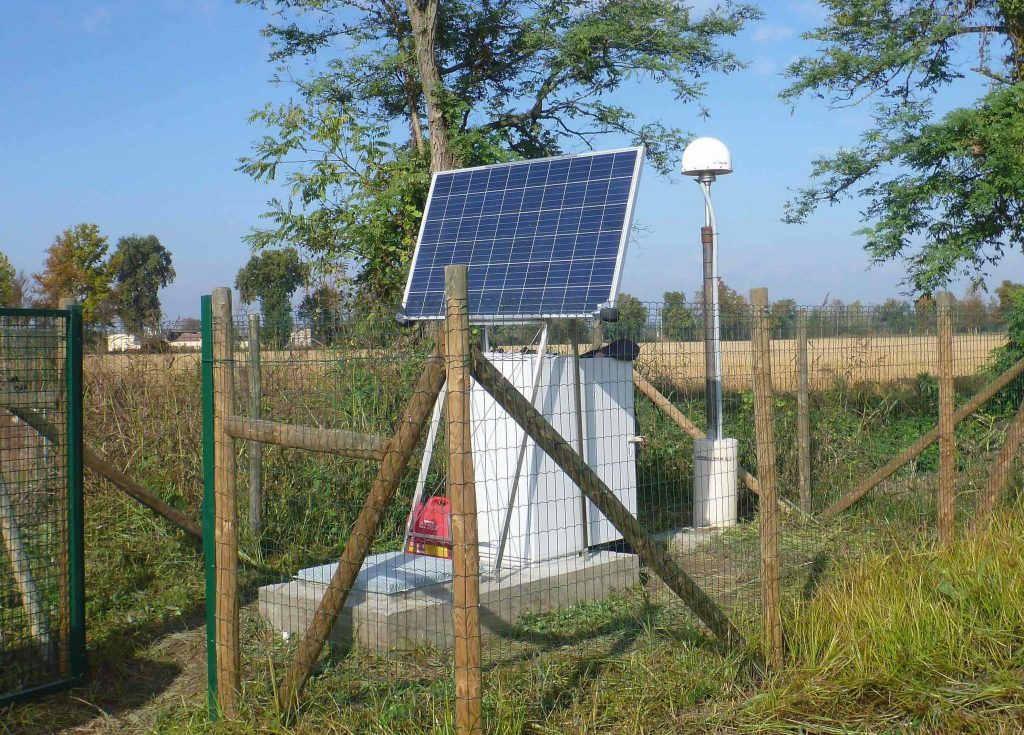
Since 2017 the geodetic station LODI (in the photo), located on the top of the reservoir, provides 24/24h information on how the ground deforms.
If you want to know more, here is the article, just published on Earth and Space Science:
Priolo, E., Zinno, I., Guidarelli, M., Romanelli, M., Lanari, R., Sandron, D., Garbin, M., Peruzza, L., Romano, M.A., Zuliani, D., Tunini, L., Magrin, A. (2024). The birth of an underground gas storage in a depleted gas reservoir— Results from integrated seismic and ground deformation monitoring. Earth and Space Science, 11, e2023EA003275. https://doi.org/10.1029/2023EA003275.


