Over the years, the CRS geodesy team has also developed and refined its skills as both software and component developers.
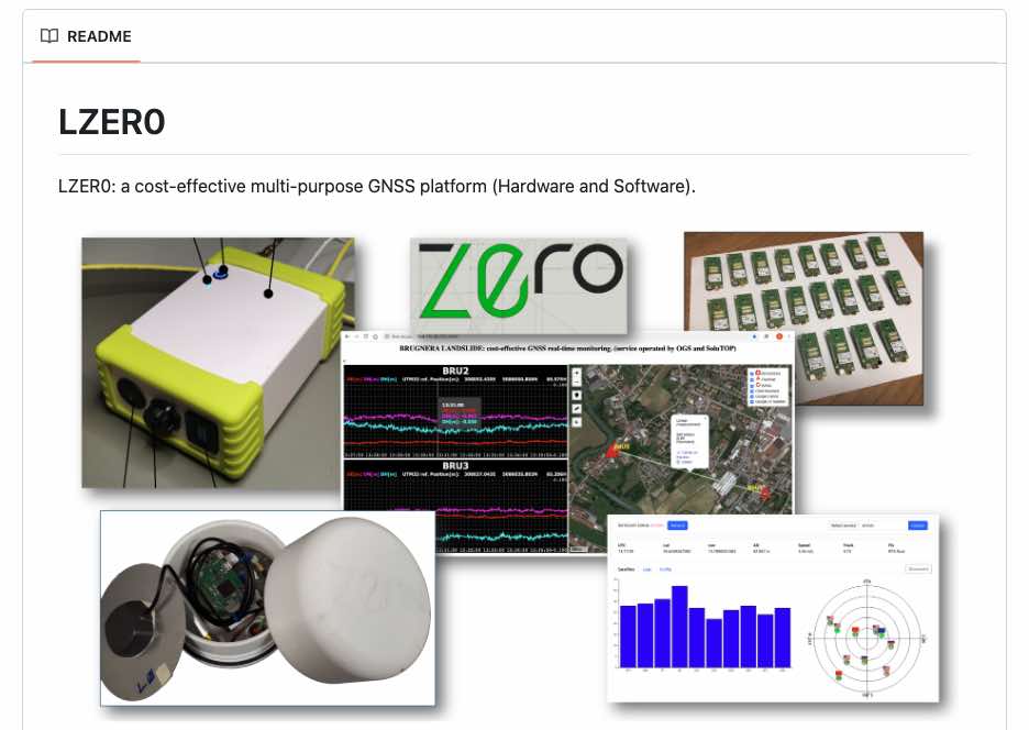
In particular, in the field of low-cost sensors, we have developed, in collaboration with the private sector, a multipurpose and low-cost GNSS platform called LZER0, suitable not only for survey measurements, but also for monitoring activities.
Everything you want to know about LZER0, as well as its scientific applications, is available on GitHub here: https://github.com/zuliani71/LZER0


