Real time data
Loading...
Not available
Loading chart. Collecting data... (points: 0)
| Station ID | CODR | ||||||
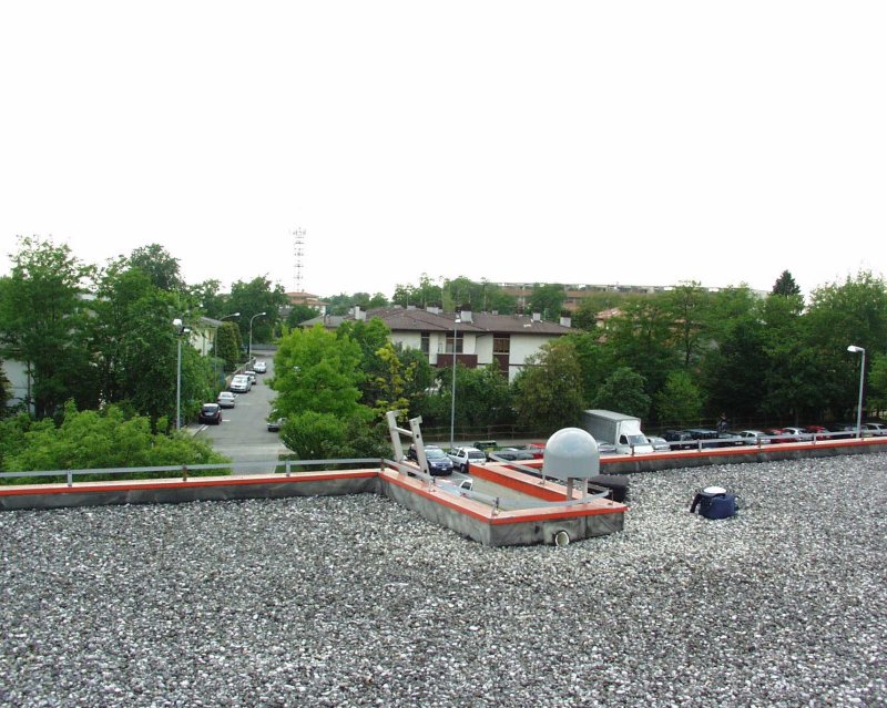
| Town or city | Scuola Media,Codroipo, (UD) | ||||||
| Day. of installation | dd/mm/yy | 27/03/2007 | |||||
| GPS time | week | 1420 | |||||
| day of year | 086 | ||||||
| Coordinates ITRS/WGS84-ITRF00(2008.0) | |||||||
|---|---|---|---|---|---|---|---|
| UTM | North (m) | N 5091425.726 | |||||
| East (m) | E 343400.894 | ||||||
| geog. | Lat | N 45° 57' 30.7136" | |||||
| Long | E 12° 58' 44.7449" | ||||||
| Ellipsoidal height (m) | 91.865 | ||||||
| Coordinates ETRS89/IGM95-ETRF2000(2008.0) | |||||||
| UTM | North (m) | N 5091425.386 | |||||
| East (m) | E 343400.519 | ||||||
| geog. | Lat | N 45° 57' 30.7023" | |||||
| Long | E 12° 58' 44.7279" | ||||||
| Ellipsoidal height (m) | 91.874 | ||||||
| Coordinates ETRS89/IGM95-ETRF89(1989.0) * | |||||||
| UTM | North (m) | N 5091425.365 | |||||
| East (m) | E 343400.506 | ||||||
| geog. | Lat | N 45° 57' 30.7016" | |||||
| Long | E 12° 58' 44.7273" | ||||||
| Ellipsoidal height (m) | 91.733 | ||||||
| Coordinates ROMA40 * | |||||||
| Gauss Boaga | North (m) | N 5091447.544 | |||||
| East (m) | E 2363404.959 | ||||||
| geog. | Lat | N 45° 57' 28.3119" | |||||
| Long | E 0° 31' 36.9607" | ||||||
| Geodetic height (m) | 47.525 | ||||||
| Coordinates ED50 * | |||||||
| UTM | North (m) | N 5091617.846 | |||||
| East (m) | E 343470.749 | ||||||
| geog. | Lat | N 45° 57' 33.8804" | |||||
| Long | E 12° 58' 48.2146" | ||||||
| Geodetic height (m) | 47.525 | ||||||
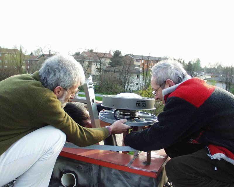
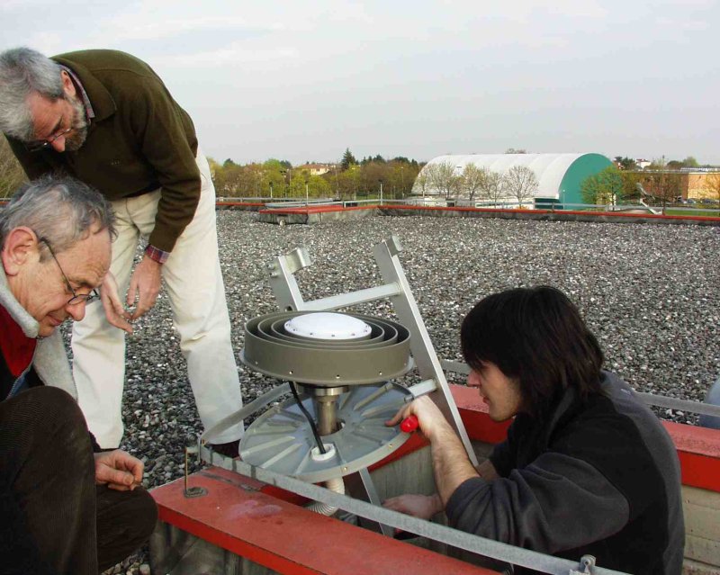
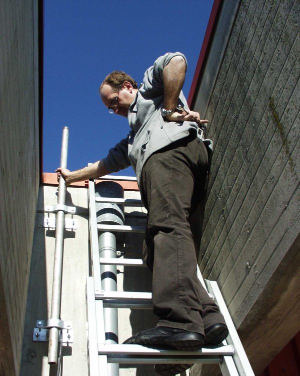
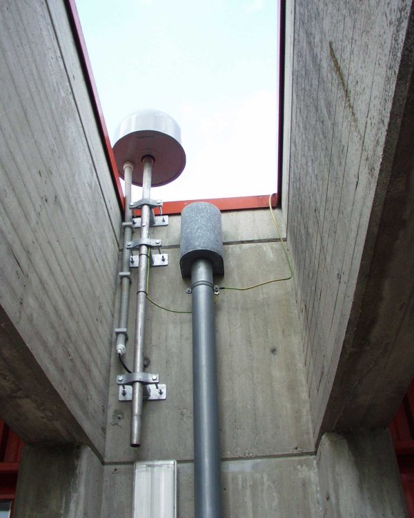
| Antenna | ASH701945E_M | ||||||
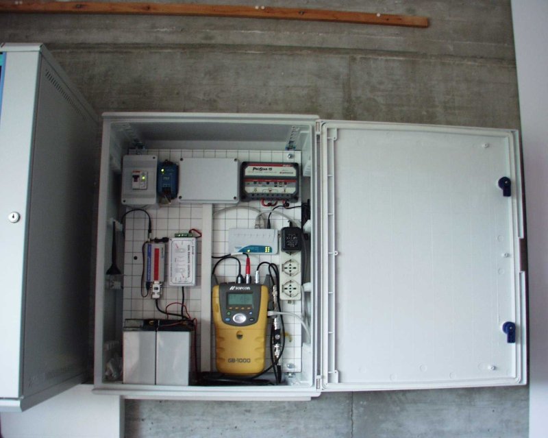
| Receiver | TPS NET-G5 | ||||||
| Power supply | Alimentazione di rete 220V ac | ||||||
| Geology | Ghiaie alluvionali (Quaternario) | ||||||
Loading chart. Collecting data... (points: 0)
The plots below are created daily and display:
Input are the station RINEX observation and navigation files. Consequently, the graphs give a snapshot of the station tracking for a specific date.
Skyplot not available

National Institute of Oceanography and Applied Geophysics - OGS
Centro di Ricerche Sismologiche
Via Treviso 55, 33100 Udine, Italy
gnss@ogs.it