Real time data
Loading...
Not available
Loading chart. Collecting data... (points: 0)
| Station ID | FUSE | ||||||
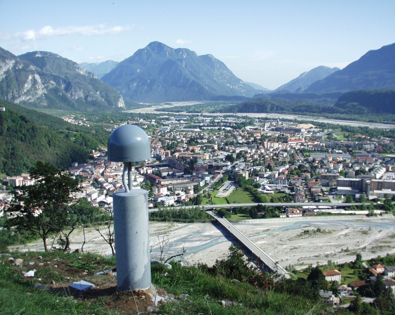
| Town or city | Fusea, Tolmezzo (UD) | ||||||
| Day. of installation | dd/mm/yy | 07/09/2007 | |||||
| GPS time | week | 1443 | |||||
| day of year | 250 | ||||||
| Coordinates ITRS/WGS84-ITRF00(2008.0) | |||||||
|---|---|---|---|---|---|---|---|
| UTM | North (m) | N 5142005.717 | |||||
| East (m) | E 346384.445 | ||||||
| geog. | Lat | N 46° 24' 50.9510" | |||||
| Long | E 13° 00' 04.1261" | ||||||
| Ellipsoidal height (m) | 581.898 | ||||||
| Coordinates ETRS89/IGM95-ETRF2000(2008.0) | |||||||
| UTM | North (m) | N 5142005.377 | |||||
| East (m) | E 346384.073 | ||||||
| geog. | Lat | N 46° 24' 50.9397" | |||||
| Long | E 13° 00' 04.1090" | ||||||
| Ellipsoidal height (m) | 581.907 | ||||||
| Coordinates ETRS89/IGM95-ETRF89(1989.0) * | |||||||
| UTM | North (m) | N 5142005.373 | |||||
| East (m) | E 346384.053 | ||||||
| geog. | Lat | N 46° 24' 50.9395" | |||||
| Long | E 13° 00' 04.1081" | ||||||
| Ellipsoidal height (m) | 581.708 | ||||||
| Coordinates ROMA40 * | |||||||
| Gauss Boaga | North (m) | N 5142028.918 | |||||
| East (m) | E 2366388.178 | ||||||
| geog. | Lat | N 46° 24' 48.5398" | |||||
| Long | E 0° 32' 56.3258" | ||||||
| Geodetic height (m) | 533.785 | ||||||
| Coordinates ED50 * | |||||||
| UTM | North (m) | N 5142197.731 | |||||
| East (m) | E 346454.638 | ||||||
| geog. | Lat | N 46° 24' 54.0600" | |||||
| Long | E 13° 00' 07.6372" | ||||||
| Geodetic height (m) | 533.785 | ||||||
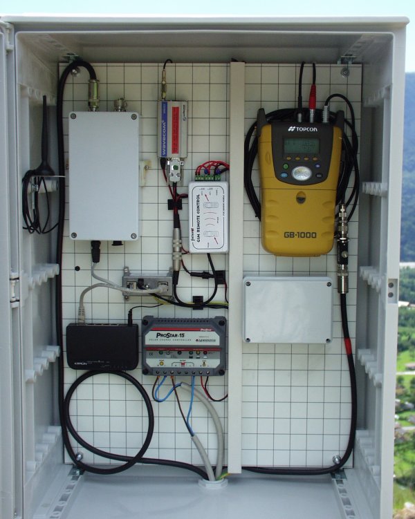
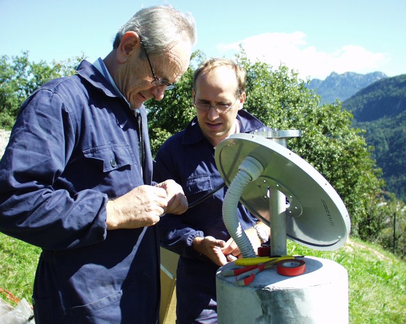
| Antenna | ASH701945E_M | ||||||
| Receiver | TPS NET-G5 | ||||||
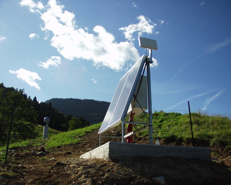
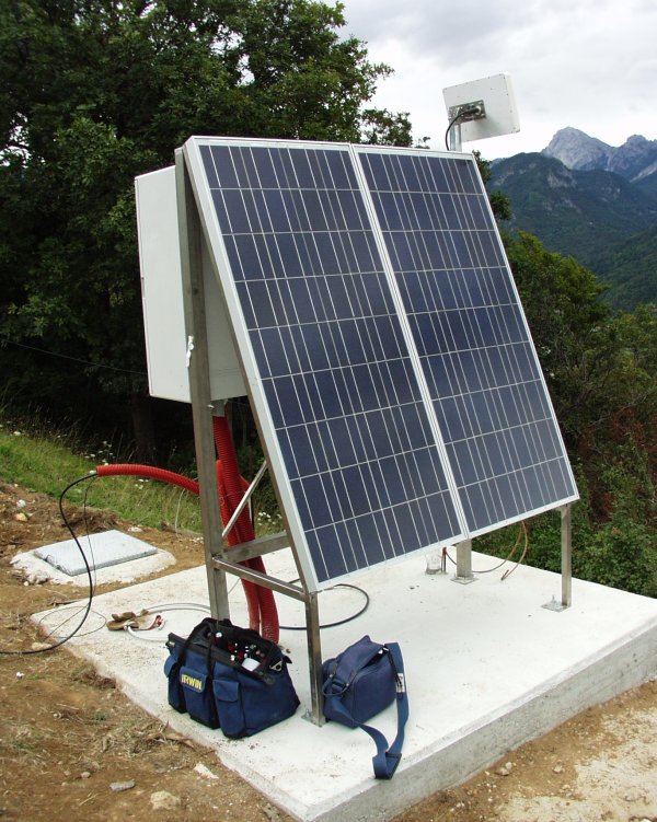
| Power supply | Pannelli fotovoltaici | ||||||
| Geology | Dolomie e calcari dolomitici | ||||||
Loading chart. Collecting data... (points: 0)
The plots below are created daily and display:
Input are the station RINEX observation and navigation files. Consequently, the graphs give a snapshot of the station tracking for a specific date.
Skyplot not available

National Institute of Oceanography and Applied Geophysics - OGS
Centro di Ricerche Sismologiche
Via Treviso 55, 33100 Udine, Italy
gnss@ogs.it