Real time data
Loading...
Not available
Loading chart. Collecting data... (points: 0)
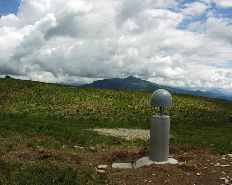
| Station ID | JOAN | ||||||
| Town or city | M.te Joanaz, Torreano di Cividale (UD) | ||||||
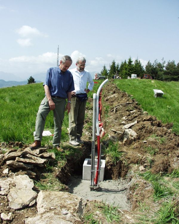
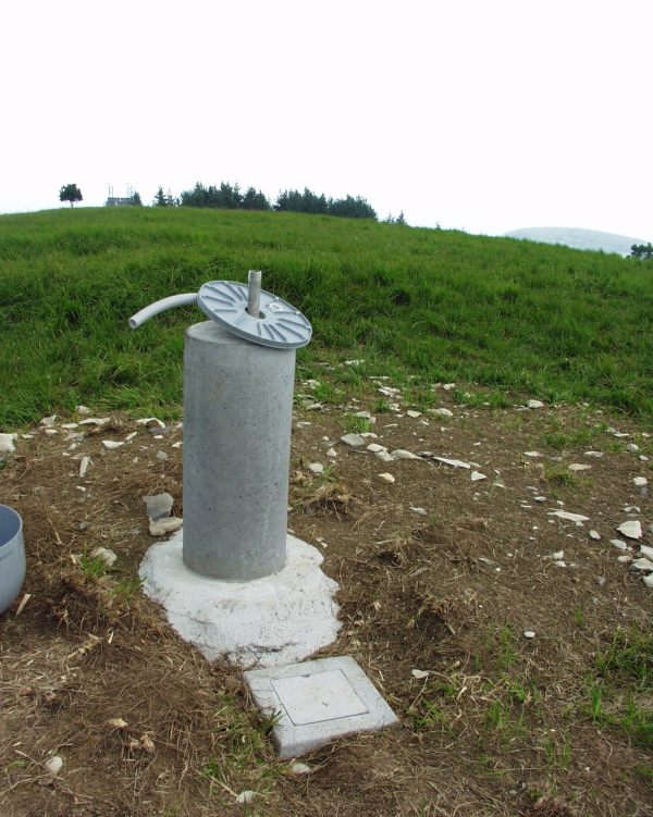
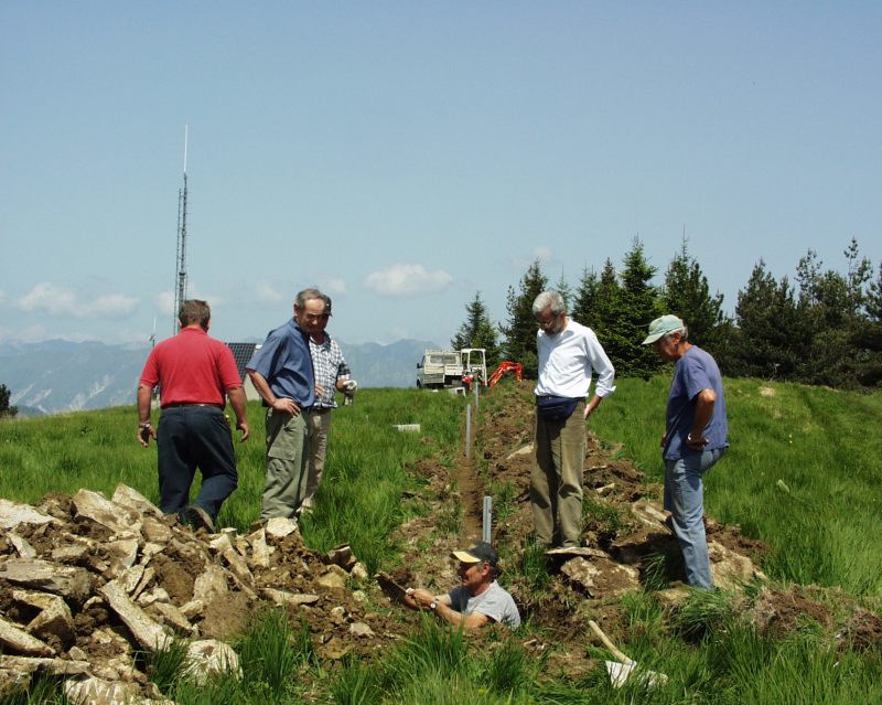
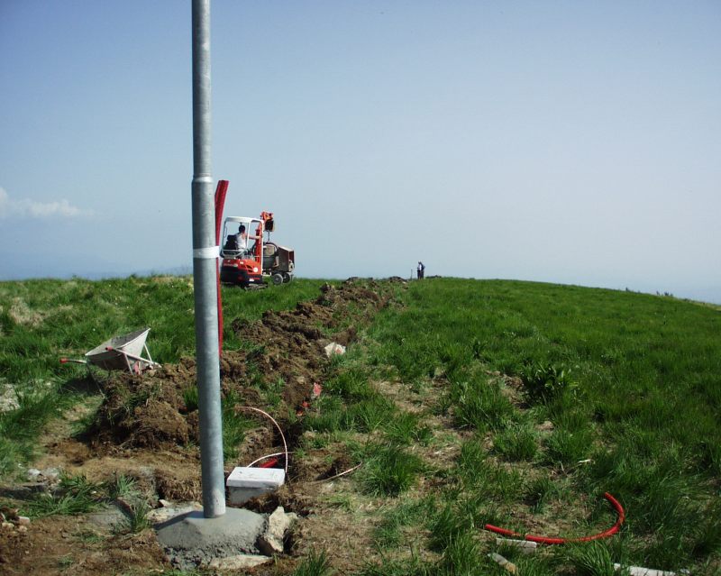
| Day. of installation | dd/mm/yy | 28/06/2007 | |||||
| GPS time | week | 1433 | |||||
| day of year | 179 | ||||||
| Coordinates ITRS/WGS84-ITRF00(2008.0) | |||||||
|---|---|---|---|---|---|---|---|
| UTM | North (m) | N 5115706.469 | |||||
| East (m) | E 377759.657 | ||||||
| geog. | Lat | N 46° 11' 02.2583" | |||||
| Long | E 13° 24' 57.8198" | ||||||
| Ellipsoidal height (m) | 1190.446 | ||||||
| Coordinates ETRS89/IGM95-ETRF2000(2008.0) | |||||||
| UTM | North (m) | N 5115706.129 | |||||
| East (m) | E 377759.284 | ||||||
| geog. | Lat | N 46° 11' 02.2470" | |||||
| Long | E 13° 24' 57.8027" | ||||||
| Ellipsoidal height (m) | 1190.455 | ||||||
| Coordinates ETRS89/IGM95-ETRF89(1989.0) * | |||||||
| UTM | North (m) | N 5115706.105 | |||||
| East (m) | E 377759.272 | ||||||
| geog. | Lat | N 46° 11' 02.2463" | |||||
| Long | E 13° 24' 57.8021" | ||||||
| Ellipsoidal height (m) | 1190.302 | ||||||
| Coordinates ROMA40 * | |||||||
| Gauss Boaga | North (m) | N 5115729.523 | |||||
| East (m) | E 2397764.331 | ||||||
| geog. | Lat | N 46° 10' 59.8680" | |||||
| Long | E 0° 57' 49.9730" | ||||||
| Geodetic height (m) | 1144.046 | ||||||
| Coordinates ED50 * | |||||||
| UTM | North (m) | N 5115898.438 | |||||
| East (m) | E 377830.540 | ||||||
| geog. | Lat | N 46° 11' 05.3813" | |||||
| Long | E 13° 25' 01.3030" | ||||||
| Geodetic height (m) | 1144.046 | ||||||
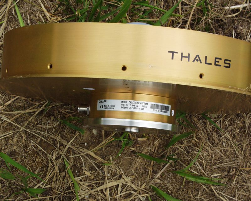
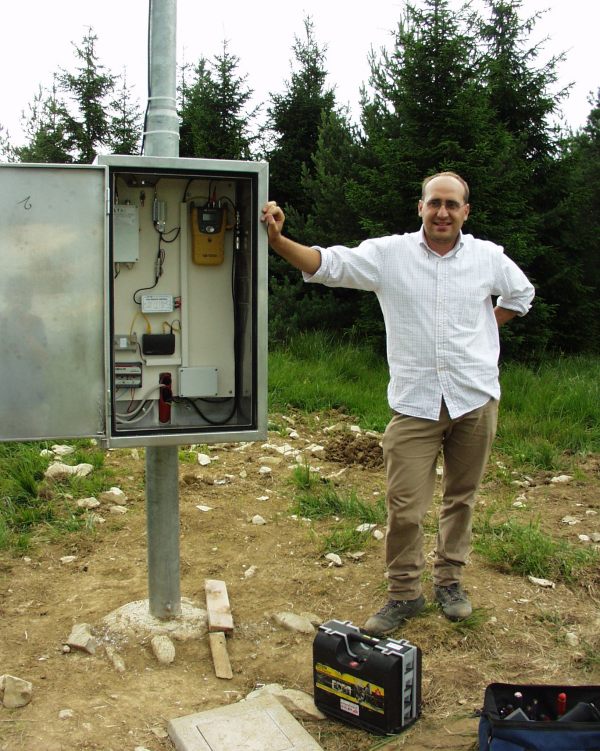
| Antenna | ASH701945E_M | ||||||
| Receiver | TPS NET-G5 | ||||||
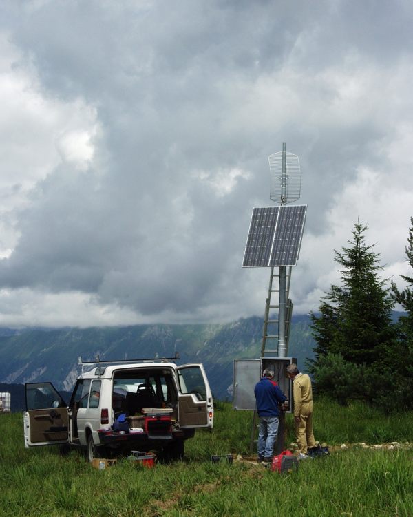
| Power supply | Pannelli fotovoltaici | ||||||
| Geology | Flysch eocenico | ||||||
Loading chart. Collecting data... (points: 0)
The plots below are created daily and display:
Input are the station RINEX observation and navigation files. Consequently, the graphs give a snapshot of the station tracking for a specific date.
Skyplot not available
National Institute of Oceanography and Applied Geophysics - OGS
Centro di Ricerche Sismologiche
Via Treviso 55, 33100 Udine, Italy
gnss@ogs.it