Real time data
Loading...
Not available
Loading chart. Collecting data... (points: 0)
| Station ID | MDEA | ||||||
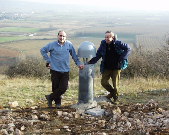
| Town or city | Colle di Medea, Medea (GO) | ||||||
| Day. of installation | dd/mm/yy | 23/01/2003 | |||||
| GPS time | week | 1202 | |||||
| day of year | 023 | ||||||
| Coordinates ITRS/WGS84-ITRF00(2008.0) | |||||||
|---|---|---|---|---|---|---|---|
| UTM | North (m) | N 5086845.340 | |||||
| East (m) | E 378703.503 | ||||||
| geog. | Lat | N 45° 55' 28.0891" | |||||
| Long | E 13° 26' 08.2933" | ||||||
| Ellipsoidal height (m) | 165.689 | ||||||
| Coordinates ETRS89/IGM95-ETRF2000(2008.0) | |||||||
| UTM | North (m) | N 5086844.999 | |||||
| East (m) | E 378703.128 | ||||||
| geog. | Lat | N 45° 55' 28.0779" | |||||
| Long | E 13° 26' 08.2762" | ||||||
| Ellipsoidal height (m) | 165.698 | ||||||
| Coordinates ETRS89/IGM95-ETRF89(1989.0) * | |||||||
| UTM | North (m) | N 5086844.976 | |||||
| East (m) | E 378703.117 | ||||||
| geog. | Lat | N 45° 55' 28.0771" | |||||
| Long | E 13° 26' 08.2757" | ||||||
| Ellipsoidal height (m) | 165.537 | ||||||
| Coordinates ROMA40 * | |||||||
| Gauss Boaga | North (m) | N 5086867.579 | |||||
| East (m) | E 2398708.455 | ||||||
| geog. | Lat | N 45° 55' 25.7031" | |||||
| Long | E 0° 59' 00.4531" | ||||||
| Geodetic height (m) | 121.067 | ||||||
| Coordinates ED50 * | |||||||
| UTM | North (m) | N 5087036.828 | |||||
| East (m) | E 378774.439 | ||||||
| geog. | Lat | N 45° 55' 31.2268" | |||||
| Long | E 13° 26' 11.7614" | ||||||
| Geodetic height (m) | 121.223 | ||||||
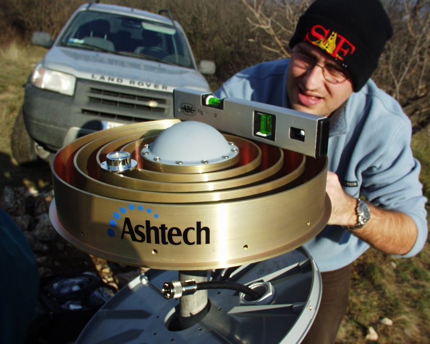
| Antenna | ASH701945C_M | ||||||
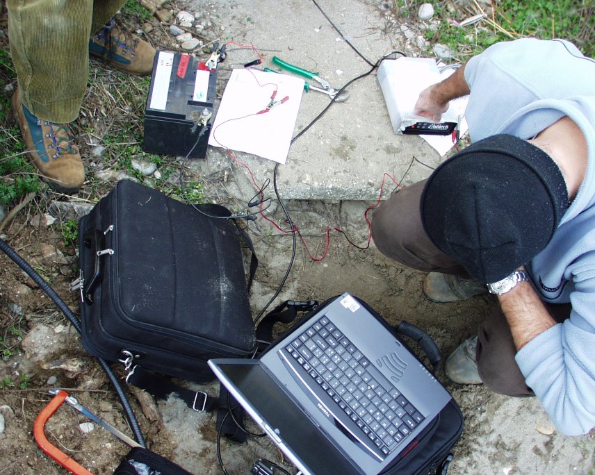
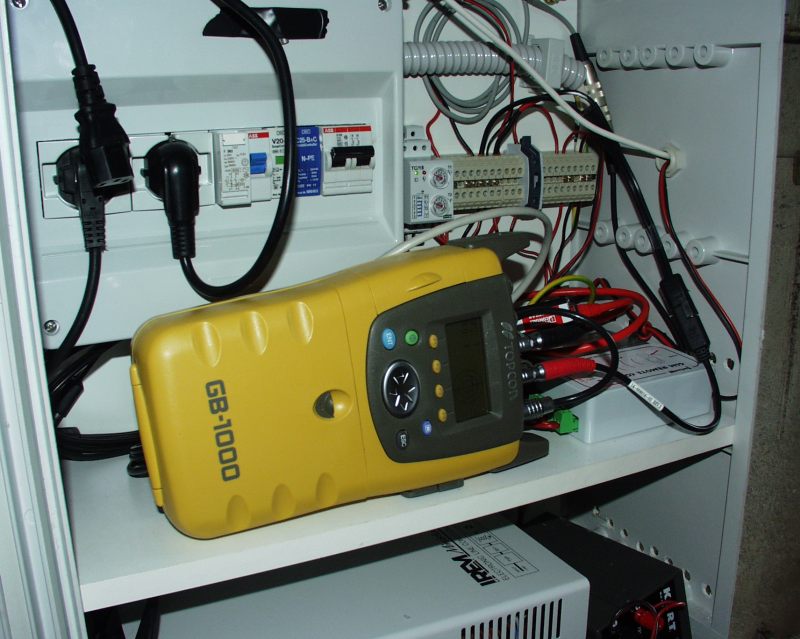
| Receiver | TPS NET-G5 | ||||||
| Power supply | Alimentazione di rete 220V ac | ||||||
| Geology | Calcari (Cretacico) | ||||||
Loading chart. Collecting data... (points: 0)
The plots below are created daily and display:
Input are the station RINEX observation and navigation files. Consequently, the graphs give a snapshot of the station tracking for a specific date.
Skyplot not available
National Institute of Oceanography and Applied Geophysics - OGS
Centro di Ricerche Sismologiche
Via Treviso 55, 33100 Udine, Italy
gnss@ogs.it