Real time data
Loading...
Not available
Loading chart. Collecting data... (points: 0)
| Station ID | MPRA | ||||||
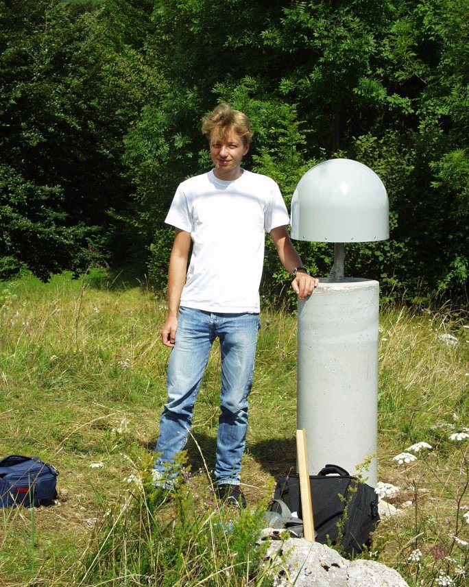
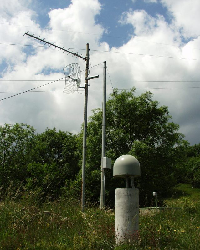
| Town or city | Mont di Prat, Forgaria del Friuli (UD) | ||||||
| Day. of installation | dd/mm/yy | 07/08/2002 | |||||
| GPS time | week | 1178 | |||||
| day of year | 219 | ||||||
| Coordinates ITRS/WGS84-ITRF00(2008.0) | |||||||
|---|---|---|---|---|---|---|---|
| UTM | North (m) | N 5122765.493 | |||||
| East (m) | E 344860.198 | ||||||
| geog. | Lat | N 46° 14' 26.7121" | |||||
| Long | E 12° 59' 15.6604" | ||||||
| Ellipsoidal height (m) | 808.554 | ||||||
| Coordinates ETRS89/IGM95-ETRF2000(2008.0) | |||||||
| UTM | North (m) | N 5122765.154 | |||||
| East (m) | E 344859.825 | ||||||
| geog. | Lat | N 46° 14' 26.7008" | |||||
| Long | E 12° 59' 15.6434" | ||||||
| Ellipsoidal height (m) | 808.563 | ||||||
| Coordinates ETRS89/IGM95-ETRF89(1989.0) * | |||||||
| UTM | North (m) | N 5122765.137 | |||||
| East (m) | E 344859.812 | ||||||
| geog. | Lat | N 46° 14' 26.7003" | |||||
| Long | E 12° 59' 15.6428" | ||||||
| Ellipsoidal height (m) | 808.402 | ||||||
| Coordinates ROMA40 * | |||||||
| Gauss Boaga | North (m) | N 5122788.075 | |||||
| East (m) | E 2364864.032 | ||||||
| geog. | Lat | N 46° 14' 24.3016" | |||||
| Long | E 0° 32' 07.8663" | ||||||
| Geodetic height (m) | 762.010 | ||||||
| Coordinates ED50 * | |||||||
| UTM | North (m) | N 5122957.661 | |||||
| East (m) | E 344930.146 | ||||||
| geog. | Lat | N 46° 14' 29.8469" | |||||
| Long | E 12° 59' 19.1507" | ||||||
| Geodetic height (m) | 762.010 | ||||||
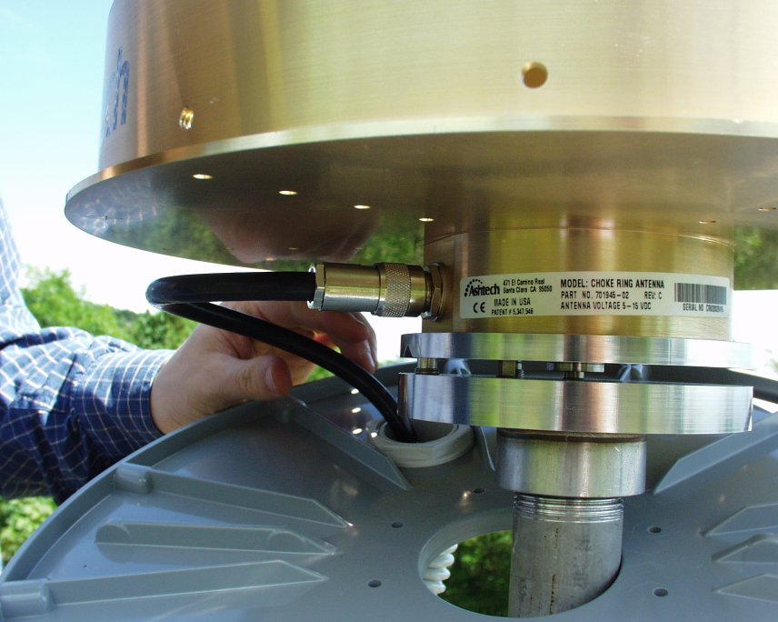
| Antenna | ASH701945C_M | ||||||
| Receiver | TPS NET-G5 | ||||||
| Power supply | Alimentazione di rete 220V ac | ||||||
| Geology | Calcari (Cretacico) | ||||||
Loading chart. Collecting data... (points: 0)
The plots below are created daily and display:
Input are the station RINEX observation and navigation files. Consequently, the graphs give a snapshot of the station tracking for a specific date.
Skyplot not available
National Institute of Oceanography and Applied Geophysics - OGS
Centro di Ricerche Sismologiche
Via Treviso 55, 33100 Udine, Italy
gnss@ogs.it