Real time data
Loading...
Not available
Loading chart. Collecting data... (points: 0)
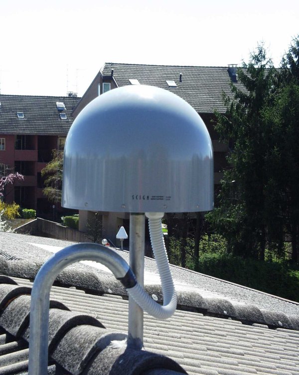
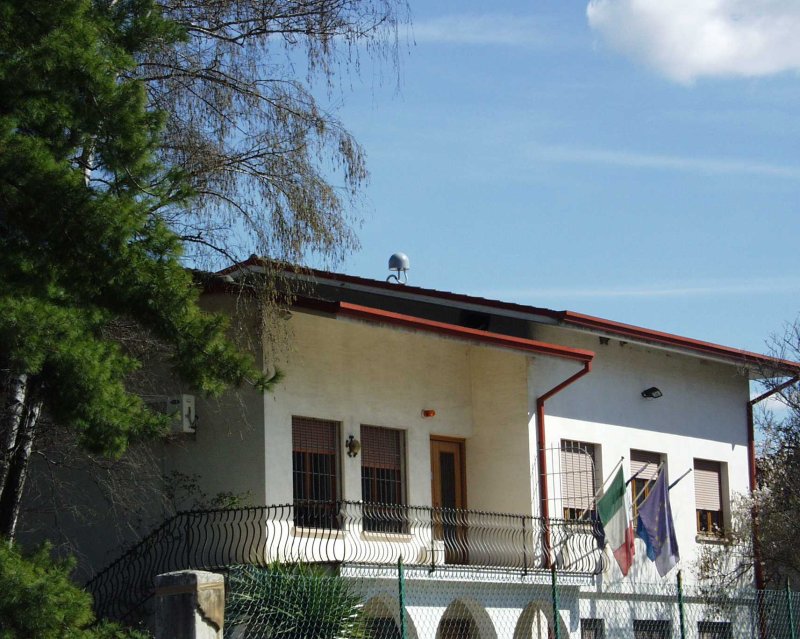
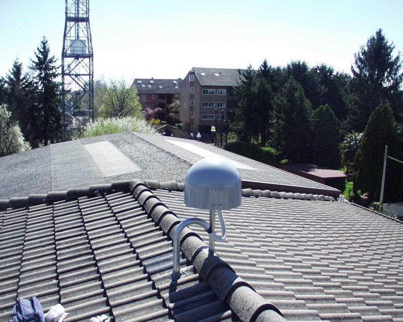
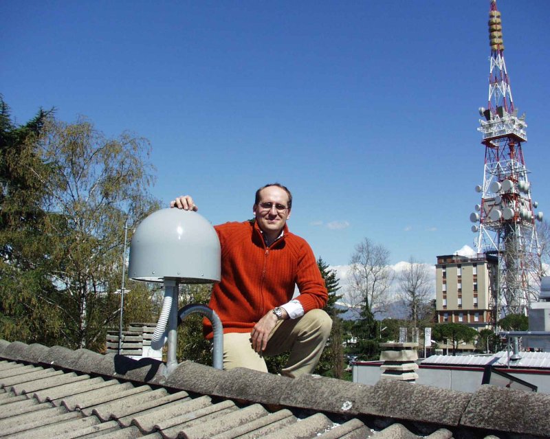
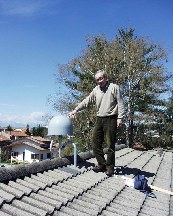
| Station ID | UDI1 | ||||||
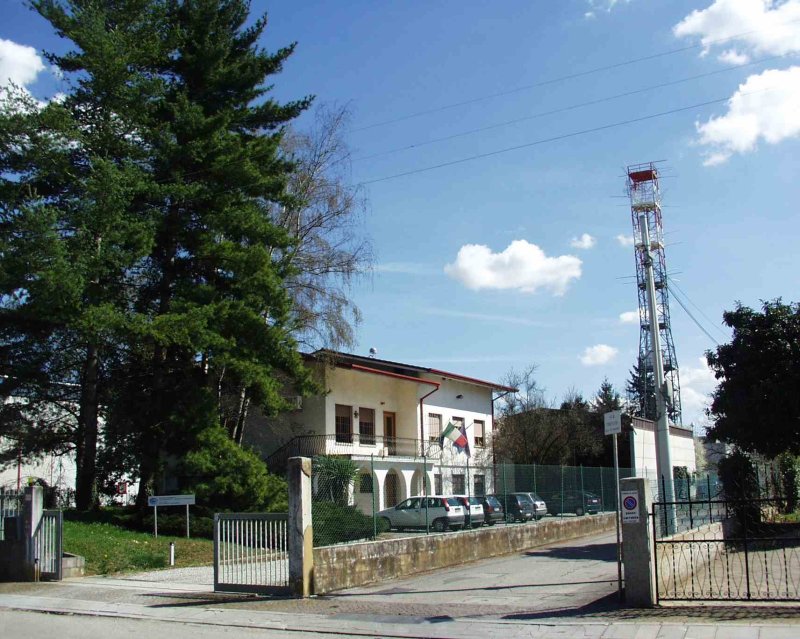
| Town or city | Cussignacco, (UD) | ||||||
| Day. of installation | dd/mm/yy | 04/04/2006 | |||||
| GPS time | week | 1369 | |||||
| day of year | 094 | ||||||
| Coordinates ITRS/WGS84-ITRF00(2008.0) | |||||||
|---|---|---|---|---|---|---|---|
| UTM | North (m) | N 5099695.339 | |||||
| East (m) | E 364819.403 | ||||||
| geog. | Lat | N 46° 02' 14.9255" | |||||
| Long | E 13° 15' 10.8727" | ||||||
| Ellipsoidal height (m) | 149.281 | ||||||
| Coordinates ETRS89/IGM95-ETRF2000(2008.0) | |||||||
| UTM | North (m) | N 5099694.999 | |||||
| East (m) | E 364819.028 | ||||||
| geog. | Lat | N 46° 02' 14.9142" | |||||
| Long | E 13° 15' 10.8556" | ||||||
| Ellipsoidal height (m) | 149.290 | ||||||
| Coordinates ETRS89/IGM95-ETRF89(1989.0) * | |||||||
| UTM | North (m) | N 5099694.978 | |||||
| East (m) | E 364819.014 | ||||||
| geog. | Lat | N 46° 02' 14.9135" | |||||
| Long | E 13° 15' 10.8550" | ||||||
| Ellipsoidal height (m) | 149.136 | ||||||
| Coordinates ROMA40 * | |||||||
| Gauss Boaga | North (m) | N 5099717.638 | |||||
| East (m) | E 2384823.829 | ||||||
| geog. | Lat | N 46° 02' 12.5288" | |||||
| Long | E 0° 48' 03.0479" | ||||||
| Geodetic height (m) | 104.427 | ||||||
| Coordinates ED50 * | |||||||
| UTM | North (m) | N 5099887.223 | |||||
| East (m) | E 364889.906 | ||||||
| geog. | Lat | N 46° 02' 18.0677" | |||||
| Long | E 13° 15' 14.3474" | ||||||
| Geodetic height (m) | 104.427 | ||||||
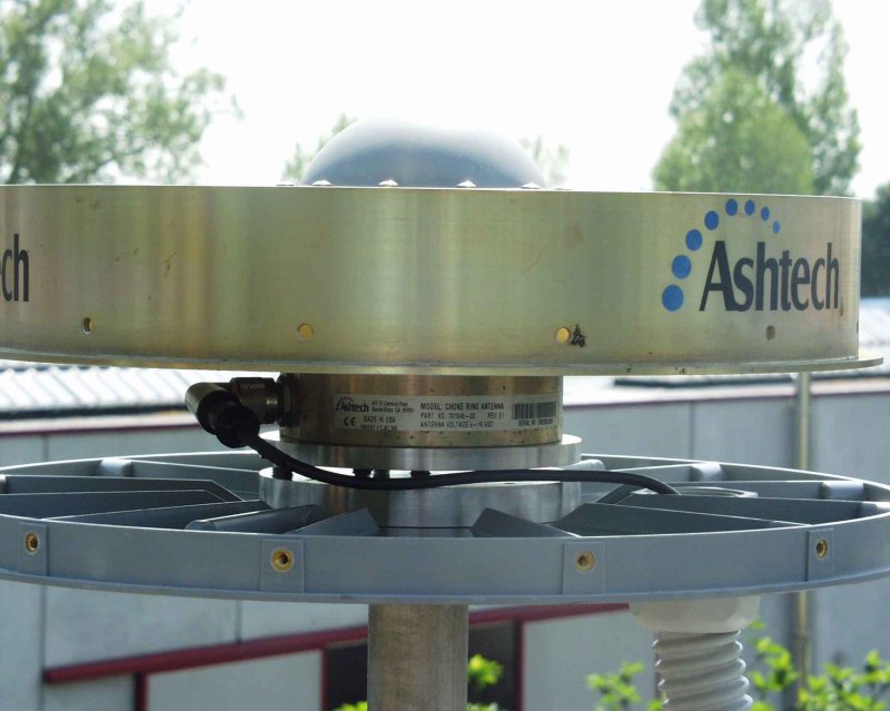
| Antenna | ASH701945E_M | ||||||
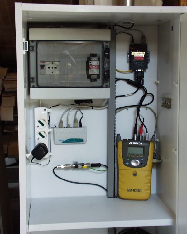
| Receiver | TPS NET-G5 | ||||||
| Power supply | Alimentazione di rete 220V ac | ||||||
| Geology | Ghiaie alluvionali (Quaternario) | ||||||
Loading chart. Collecting data... (points: 0)
The plots below are created daily and display:
Input are the station RINEX observation and navigation files. Consequently, the graphs give a snapshot of the station tracking for a specific date.
Skyplot not available
National Institute of Oceanography and Applied Geophysics - OGS
Centro di Ricerche Sismologiche
Via Treviso 55, 33100 Udine, Italy
gnss@ogs.it