Real time data
Loading...
Not available
Loading chart. Collecting data... (points: 0)
| Station ID | VARM | ||||||
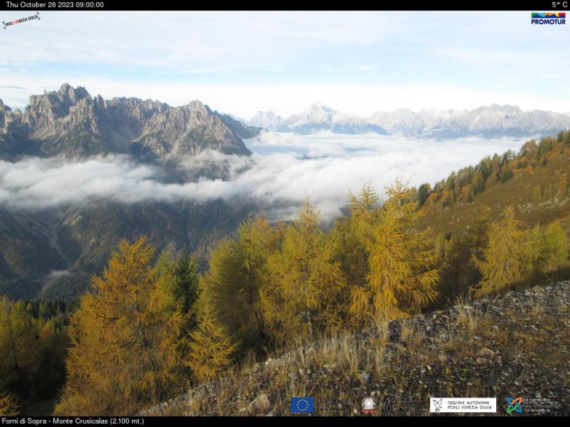
| Town or city | Forni di Sopra (UD) | ||||||
| Day. of installation | dd/mm/yy | 03/08/2012 | |||||
| GPS time | week | 1699 | |||||
| day of year | 216 | ||||||
| Coordinates ITRS/WGS84-ITRF00(2008.0) | |||||||
|---|---|---|---|---|---|---|---|
| UTM | North (m) | N 5147715.415 | |||||
| East (m) | E 313040.132 | ||||||
| geog. | Lat | N 46° 27' 25,5208'' | |||||
| Long | E 12° 33' 55,2388'' | ||||||
| Ellipsoidal height (m) | 2121.414 | ||||||
| Coordinates ETRS89/IGM95-ETRF2000(2008.0) | |||||||
| UTM | North (m) | N 5147715.086 | |||||
| East (m) | E 313039.772 | ||||||
| geog. | Lat | N 46° 27' 25.5098'' | |||||
| Long | E 12° 33' 55.2224'' | ||||||
| Ellipsoidal height (m) | 2121.418 | ||||||
| Coordinates ETRS89/IGM95-ETRF89(1989.0) * | |||||||
| UTM | North (m) | N 5147715.072 | |||||
| East (m) | E 313039.750 | ||||||
| geog. | Lat | N 46° 27' 25.5093'' | |||||
| Long | E 12° 33' 55.2214'' | ||||||
| Ellipsoidal height (m) | 2121.275 | ||||||
| Coordinates ROMA40 * | |||||||
| Gauss Boaga | North (m) | N 5147738.107 | |||||
| East (m) | E 2333042.926 | ||||||
| geog. | Lat | N 46° 27' 23.0898'' | |||||
| Long | E 0° 06' 47.4885'' | ||||||
| Geodetic height (m) | 2071.222 | ||||||
| Coordinates ED50 * | |||||||
| UTM | North (m) | N 5147907.046 | |||||
| East (m) | E 313109.304 | ||||||
| geog. | Lat | N 46° 27' 28.6243'' | |||||
| Long | E 12° 33' 58.7535'' | ||||||
| Geodetic height (m) | 2071.222 | ||||||
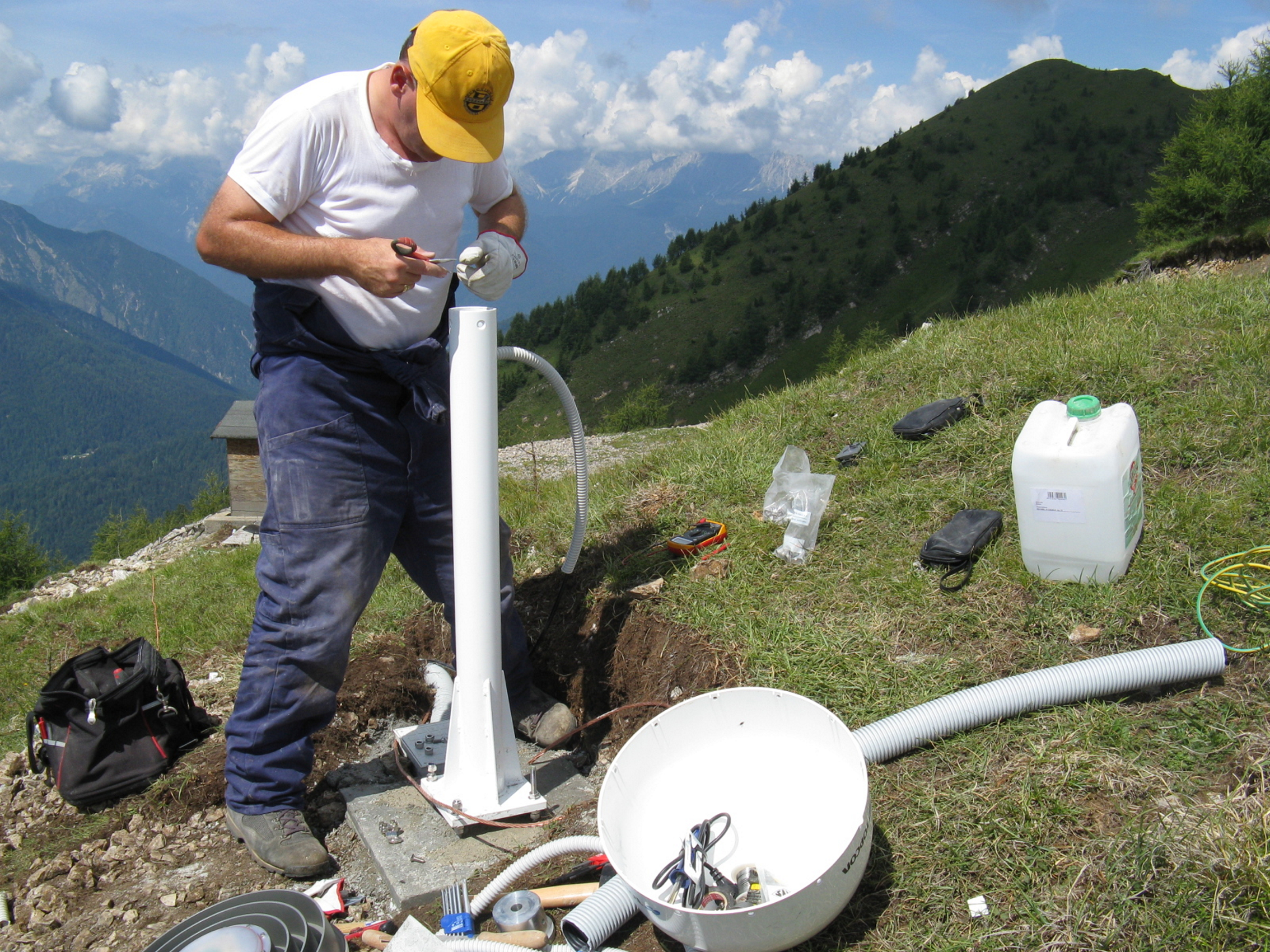
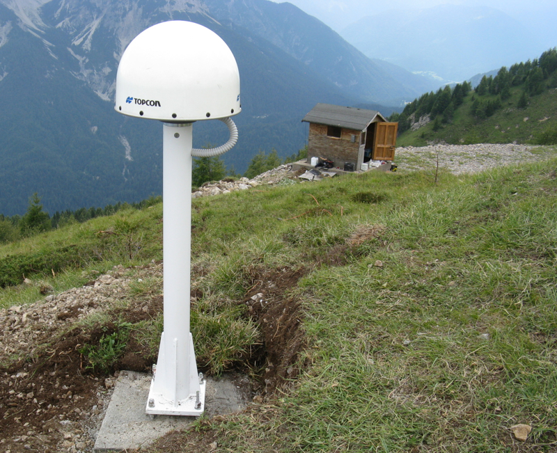
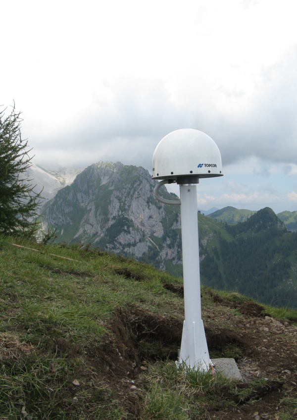
| Antenna | TPSCR.G3 TPSH | ||||||
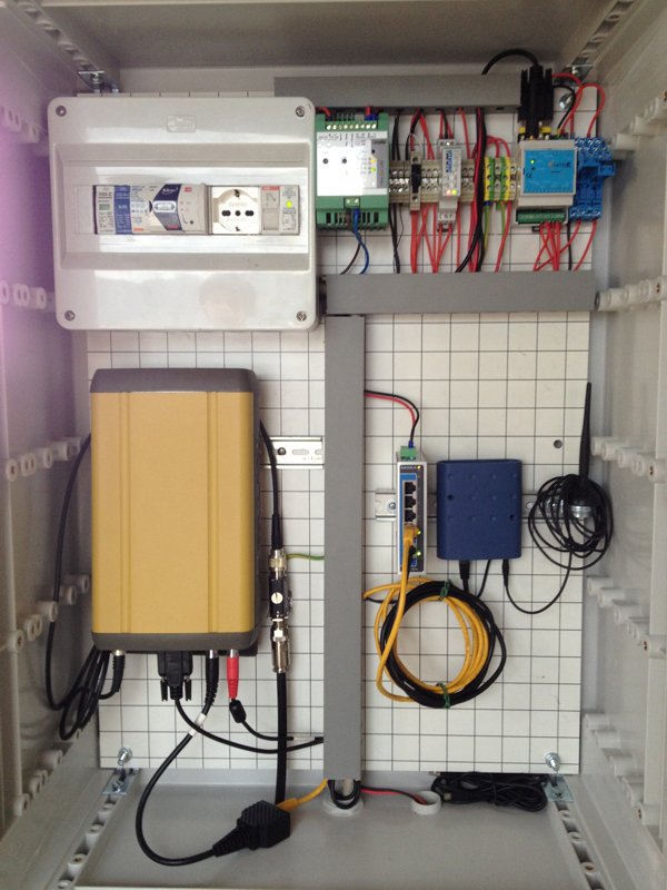
| Receiver | TPS NET-G5 | ||||||
| Power supply | Alimentazione di rete 220V ac | ||||||
| Geology | Dolomie e calcari dolomitici | ||||||
Loading chart. Collecting data... (points: 0)
The plots below are created daily and display:
Input are the station RINEX observation and navigation files. Consequently, the graphs give a snapshot of the station tracking for a specific date.
Skyplot not available
Not available
National Institute of Oceanography and Applied Geophysics - OGS
Centro di Ricerche Sismologiche
Via Treviso 55, 33100 Udine, Italy
gnss@ogs.it