Real time data
Loading...
Not available
Loading chart. Collecting data... (points: 0)
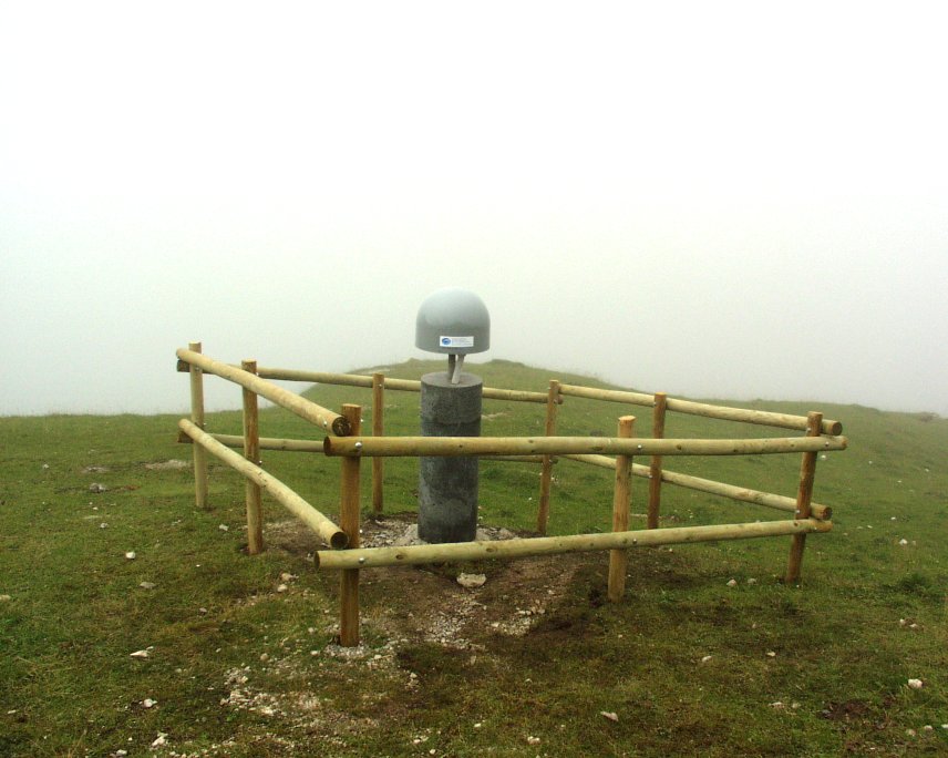
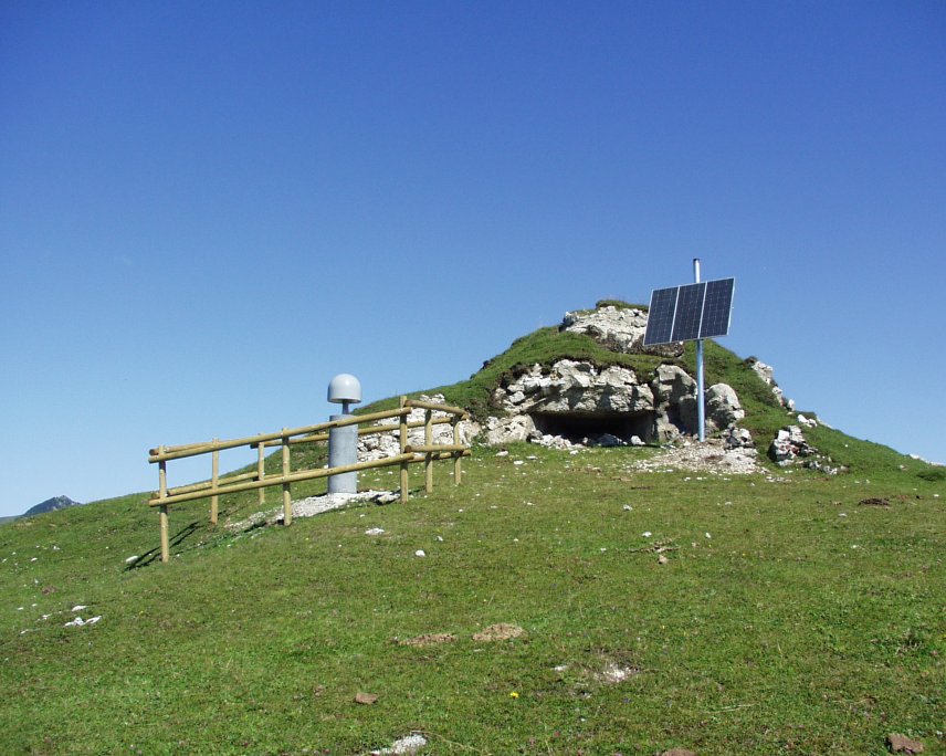
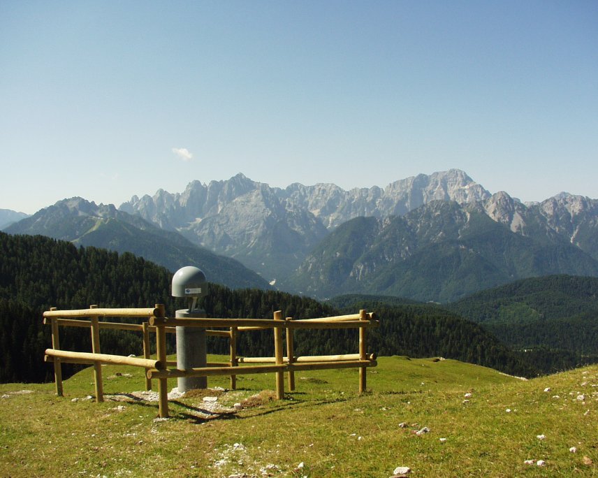
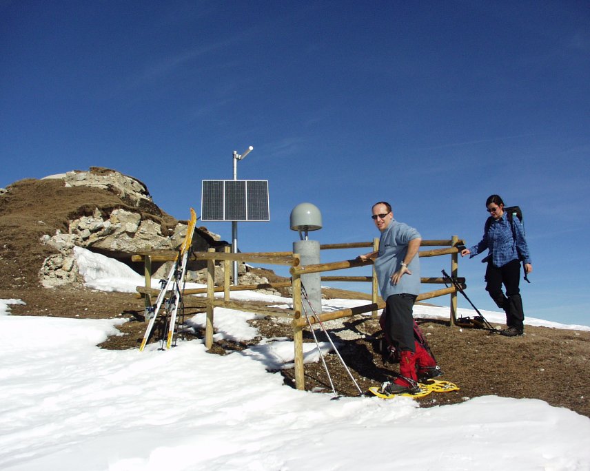
| Station ID | ACOM | ||||||
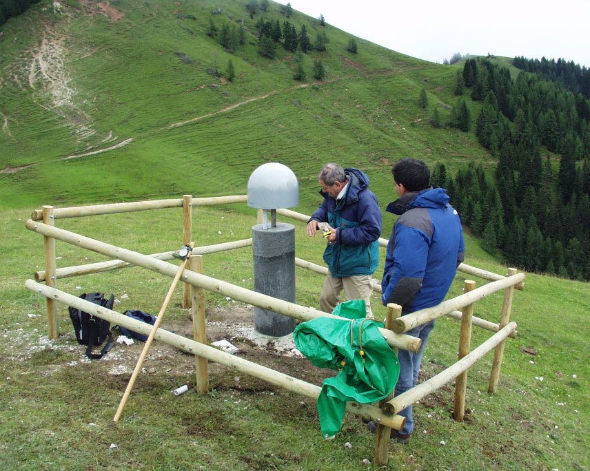
| Town or city | M.te Acomizza, Malborghetto (UD) | ||||||
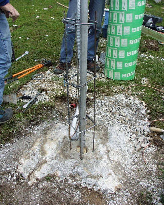
| Day. of installation | dd/mm/yy | 04/07/2003 | |||||
| GPS time | week | 1225 | |||||
| day of year | 185 | ||||||
| Coordinates ITRS/WGS84-ITRF00(2008.0) | |||||||
|---|---|---|---|---|---|---|---|
| UTM | North (m) | N 5156001.016 | |||||
| East (m) | E 386146.315 | ||||||
| geog. | Lat | N 46° 32' 52.5651" | |||||
| Long | E 13° 30' 53.6394" | ||||||
| Ellipsoidal height (m) | 1774.669 | ||||||
| Coordinates ETRS89/IGM95-ETRF2000(2008.0) | |||||||
| UTM | North (m) | N 5156000.675 | |||||
| East (m) | E 386145.943 | ||||||
| geog. | Lat | N 46° 32' 52.5538" | |||||
| Long | E 13° 30' 53.6222" | ||||||
| Ellipsoidal height (m) | 1774.677 | ||||||
| Coordinates ETRS89/IGM95-ETRF89(1989.0) * | |||||||
| UTM | North (m) | N 5156000.668 | |||||
| East (m) | E 386145.931 | ||||||
| geog. | Lat | N 46° 32' 52.5536" | |||||
| Long | E 13° 30' 53.6217" | ||||||
| Ellipsoidal height (m) | 1774.515 | ||||||
| Coordinates ROMA40 * | |||||||
| Gauss Boaga | North (m) | N 5156025.015 | |||||
| East (m) | E 2406149.613 | ||||||
| geog. | Lat | N 46° 32' 50.1607" | |||||
| Long | E 1° 03' 45.7101" | ||||||
| Geodetic height (m) | 1725.871 | ||||||
| Coordinates ED50 * | |||||||
| UTM | North (m) | N 5156192.903 | |||||
| East (m) | E 386216.023 | ||||||
| geog. | Lat | N 46° 32' 55.6385" | |||||
| Long | E 13° 30' 57.0793" | ||||||
| Geodetic height (m) | 1725.871 | ||||||
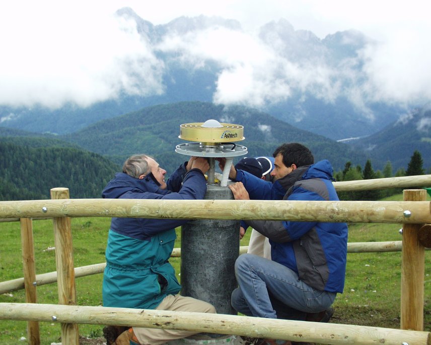
| Antenna | ASH701945E_M | ||||||
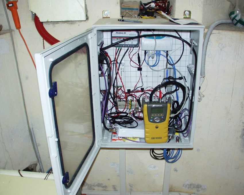
| Receiver | TPS NET-G5 | ||||||
| Power supply | Pannelli fotovoltaici | ||||||
| Geology | Calcari (Devoniano) | ||||||
Loading chart. Collecting data... (points: 0)
The plots below are created daily and display:
Input are the station RINEX observation and navigation files. Consequently, the graphs give a snapshot of the station tracking for a specific date.
Skyplot not available

Not available
National Institute of Oceanography and Applied Geophysics - OGS
Centro di Ricerche Sismologiche
Via Treviso 55, 33100 Udine, Italy
gnss@ogs.it