Real time data
Loading...
Not available
Loading chart. Collecting data... (points: 0)
| Station ID | AFAL | ||||||
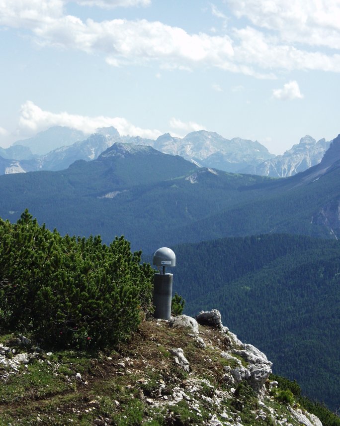
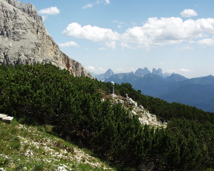
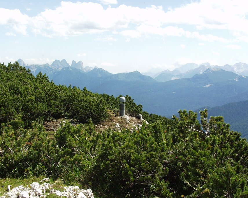
| Town or city | Alpe Faloria, Cortina d'Ampezzo (BL) | ||||||
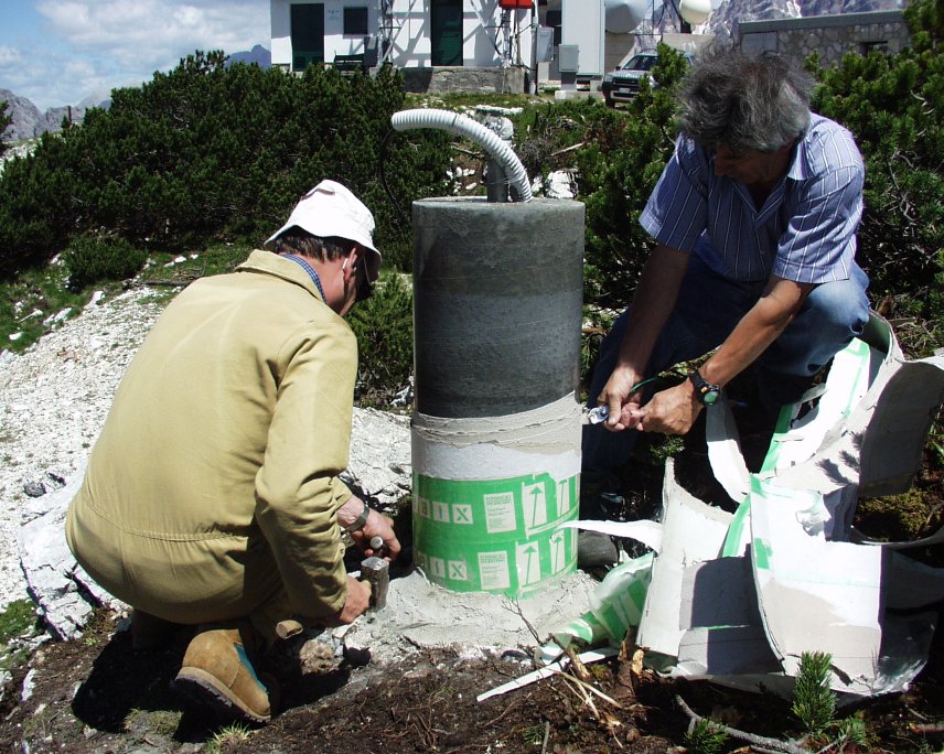
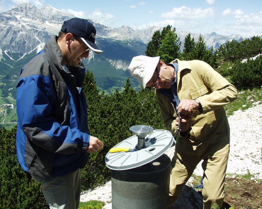
| Day. of installation | dd/mm/yy | 17/06/2003 | |||||
| GPS time | week | 1223 | |||||
| day of year | 168 | ||||||
| Coordinates ITRS/WGS84-ITRF00(2008.0) | |||||||
|---|---|---|---|---|---|---|---|
| UTM | North (m) | N 5156498.408 | |||||
| East (m) | E 283307.816 | ||||||
| geog. | Lat | N 46° 31' 37.7168" | |||||
| Long | E 12° 10' 28.2597" | ||||||
| Ellipsoidal height (m) | 2284.070 | ||||||
| Coordinates ETRS89/IGM95-ETRF2000(2008.0) | |||||||
| UTM | North (m) | N 5156498.071 | |||||
| East (m) | E 283307.444 | ||||||
| geog. | Lat | N 46° 31' 37.7054" | |||||
| Long | E 12° 10' 28.2428" | ||||||
| Ellipsoidal height (m) | 2284.078 | ||||||
| Coordinates ETRS89/IGM95-ETRF89(1989.0) * | |||||||
| UTM | North (m) | N 5156498.057 | |||||
| East (m) | E 283307.417 | ||||||
| geog. | Lat | N 46° 31' 37.7049" | |||||
| Long | E 12° 10' 28.2415" | ||||||
| Ellipsoidal height (m) | 2283.944 | ||||||
| Coordinates ROMA40 * | |||||||
| Gauss Boaga | North (m) | N 5156521.116 | |||||
| East (m) | E 2303309.909 | ||||||
| geog. | Lat | N 46° 31' 35.2799" | |||||
| Long | E -0° 16' 39.4393" | ||||||
| Geodetic height (m) | 2232.950 | ||||||
| Coordinates ED50 * | |||||||
| UTM | North (m) | N 5156690.080 | |||||
| East (m) | E 283375.808 | ||||||
| geog. | Lat | N 46° 31' 40.8235" | |||||
| Long | E 12° 10' 31.7665" | ||||||
| Geodetic height (m) | 2232.822 | ||||||
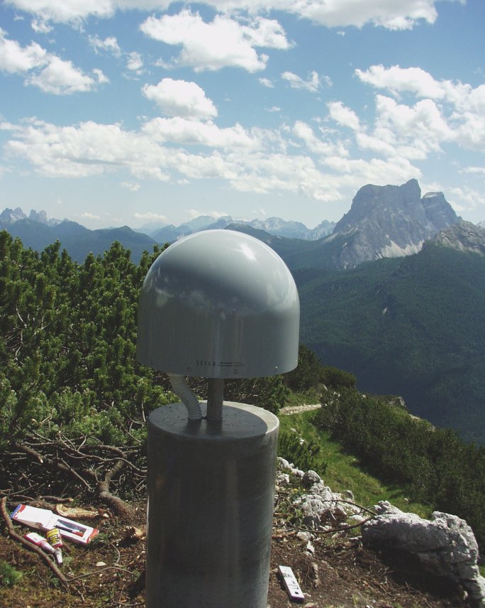
| Antenna | ASH701945E_M | ||||||
| Receiver | TPS NET-G5 | ||||||
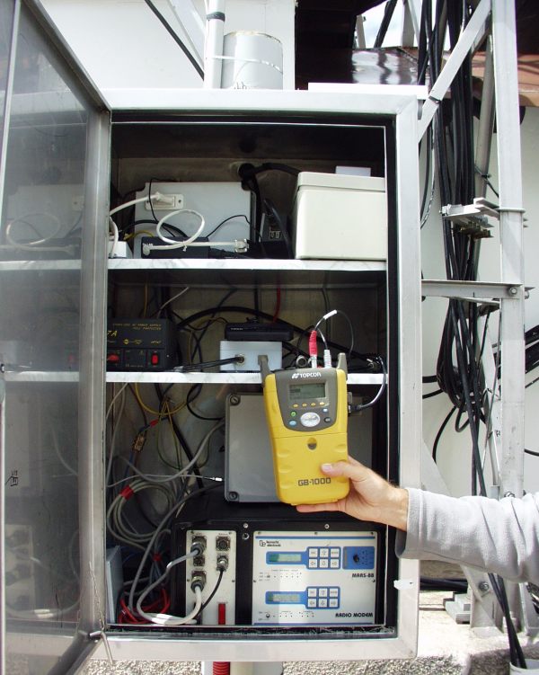
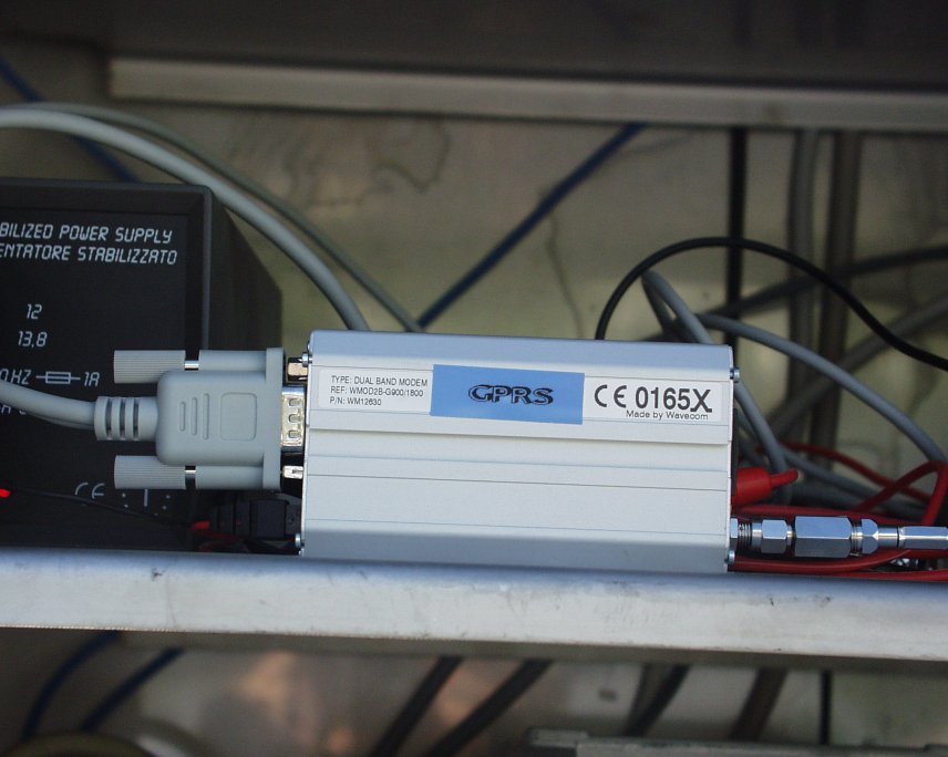
| Power supply | Alimentazione di rete 220V ac | ||||||
| Geology | Dolomie (Triassico superiore) | ||||||
Loading chart. Collecting data... (points: 0)
The plots below are created daily and display:
Input are the station RINEX observation and navigation files. Consequently, the graphs give a snapshot of the station tracking for a specific date.
Skyplot not available
National Institute of Oceanography and Applied Geophysics - OGS
Centro di Ricerche Sismologiche
Via Treviso 55, 33100 Udine, Italy
gnss@ogs.it