Real time data
Loading...
Not available
Loading chart. Collecting data... (points: 0)
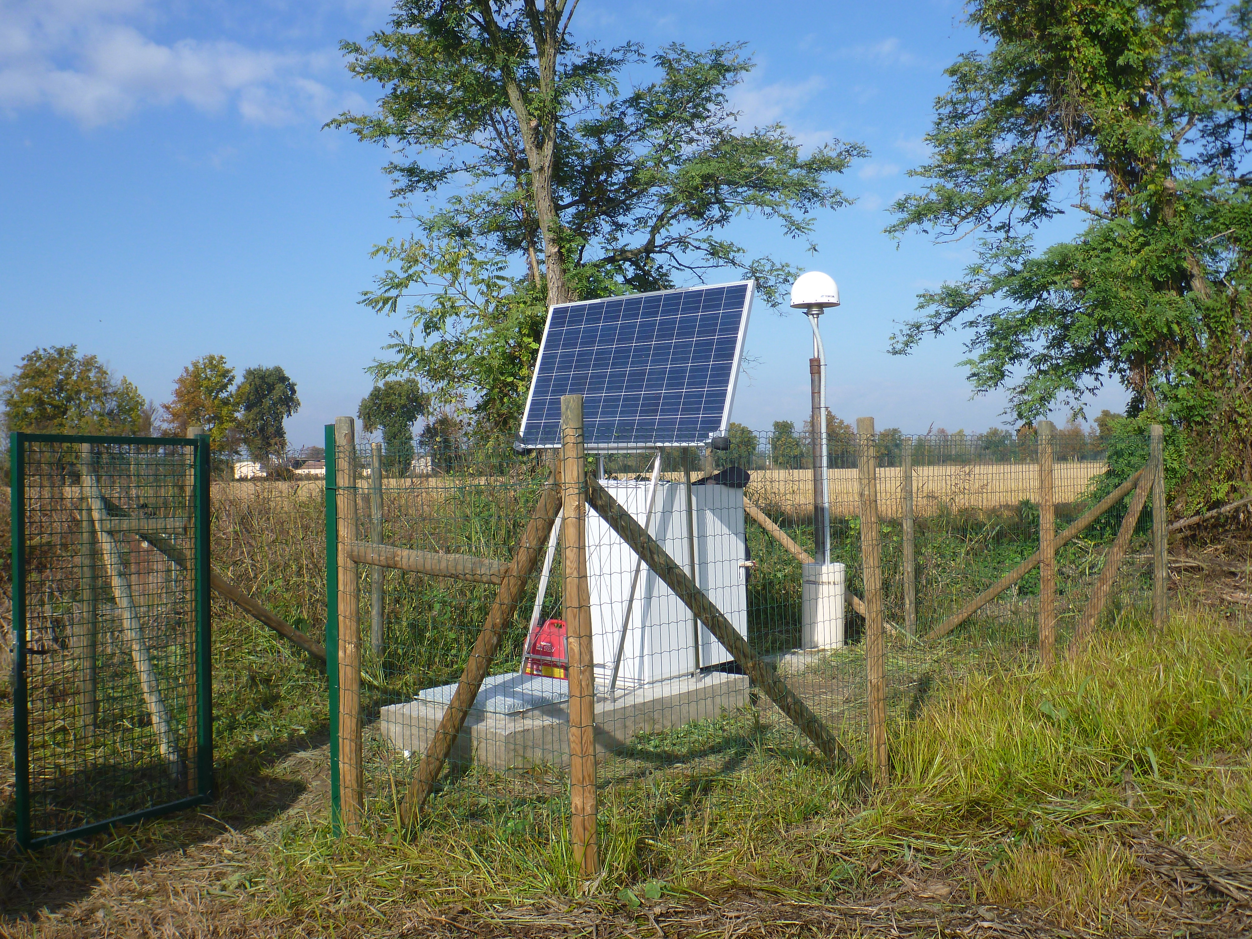
| Station ID | LODI | ||||||
| Town or city | Cornegliano Laudense (LO) | ||||||
| Day. of installation | dd/mm/yy | 29/10/2016 | |||||
| GPS time | week | 1920 | |||||
| day of year | 303 | ||||||
| Coordinates ITRS/WGS84-ITRF00(2008.0) | |||||||
|---|---|---|---|---|---|---|---|
| UTM | North (m) | N 5015400,777 | |||||
| East (m) | E 536451,836 | ||||||
| geog. | Lat | N 45°17'28.1848", | |||||
| Long | E 9°27'53.4867" | ||||||
| Ellipsoidal height (m) | 121.263 | ||||||
| Coordinates ETRS89/IGM95-ETRF2000(2008.0) | |||||||
| UTM | North (m) | N 5012899.506 | |||||
| East (m) | E 6801425.569 | ||||||
| geog. | Lat | N 45°17'28,17435" | |||||
| Long | E 9°27'53,47318" | ||||||
| Ellipsoidal height (m) | 121.254 | ||||||
| Coordinates ETRS89/IGM95-ETRF89(1989.0) * | |||||||
| UTM | North (m) | N 5012899.484 | |||||
| East (m) | E 6801425.552 | ||||||
| geog. | Lat | N 45°17'28,1736" | |||||
| Long | E 9°27'53,4725" | ||||||
| Ellipsoidal height (m) | 121,240 | ||||||
| Coordinates ROMA40 * | |||||||
| Gauss Boaga | North (m) | N 5015420.095 | |||||
| East (m) | E 1536478.620 | ||||||
| geog. | Lat | N 45°17'25,7676" | |||||
| Long | E 9°27'54,6186" | ||||||
| Geodetic height (m) | 121.240 | ||||||
| Coordinates ED50 * | |||||||
| UTM | North (m) | N 5015598.636 | |||||
| East (m) | E 536533.099 | ||||||
| geog. | Lat | N 45°17'31,5427" | |||||
| Long | E 9°27'57,1668" | ||||||
| Geodetic height (m) | 121.240 | ||||||
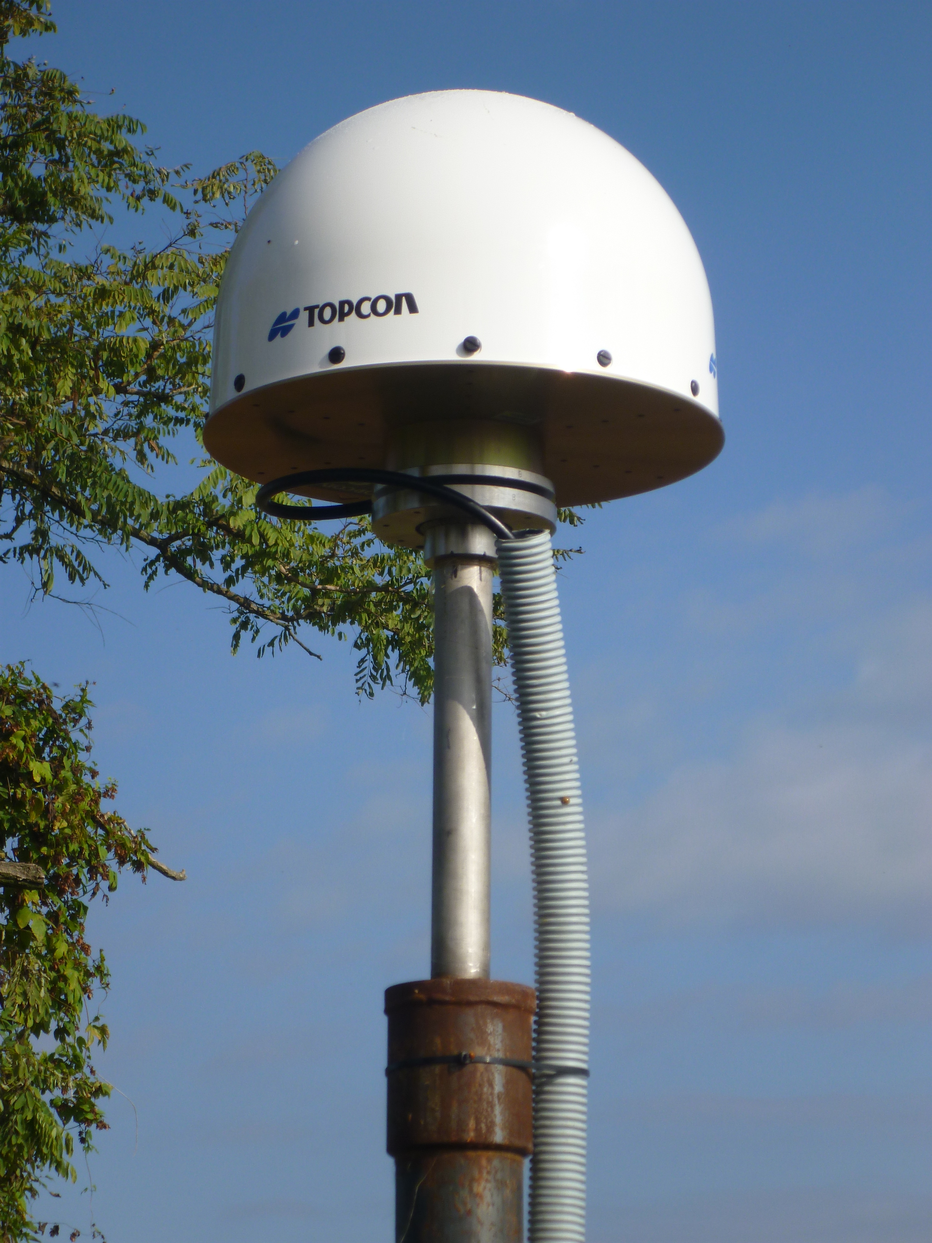
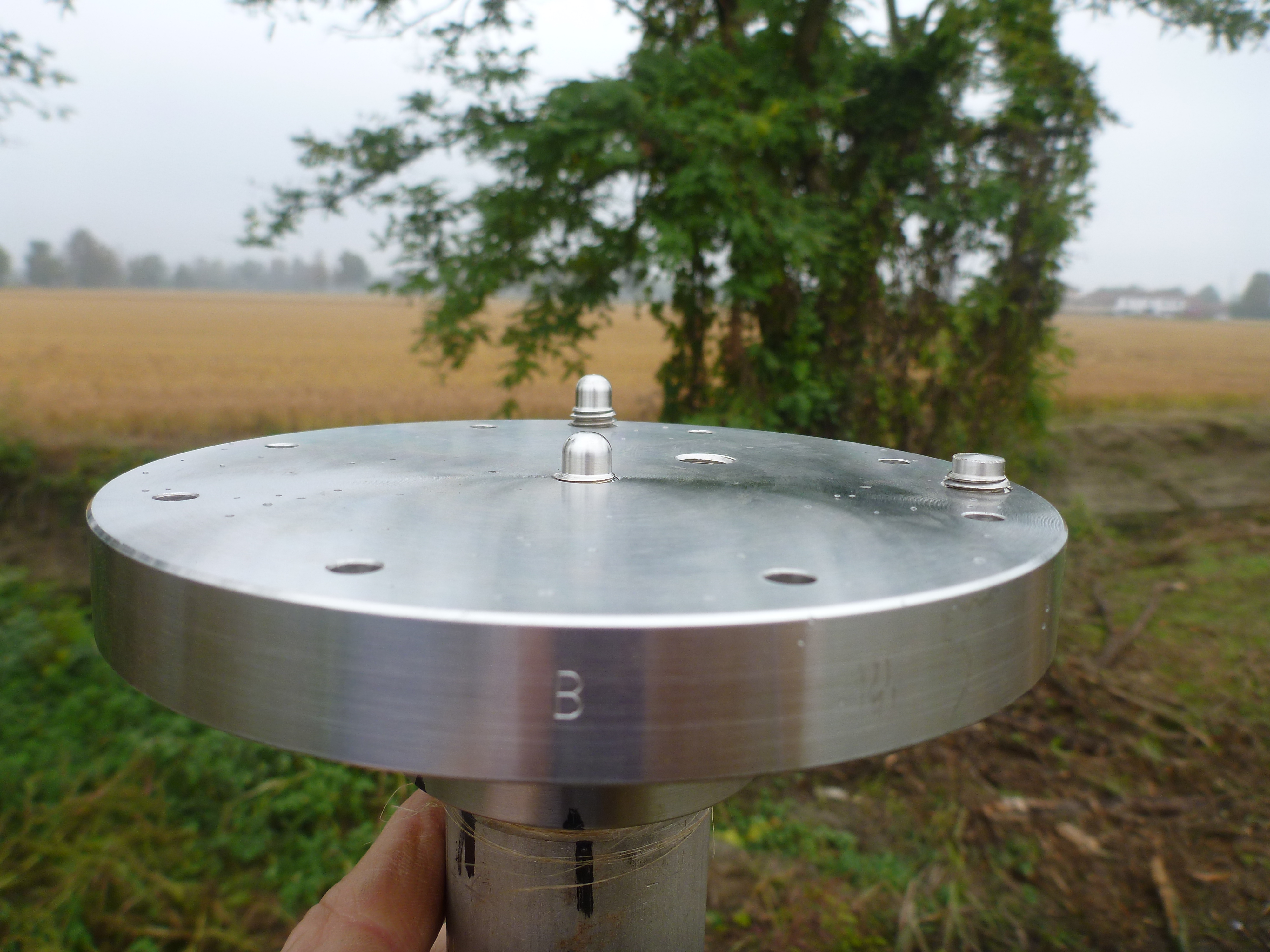
| Antenna | TPSCR.G5 | ||||||
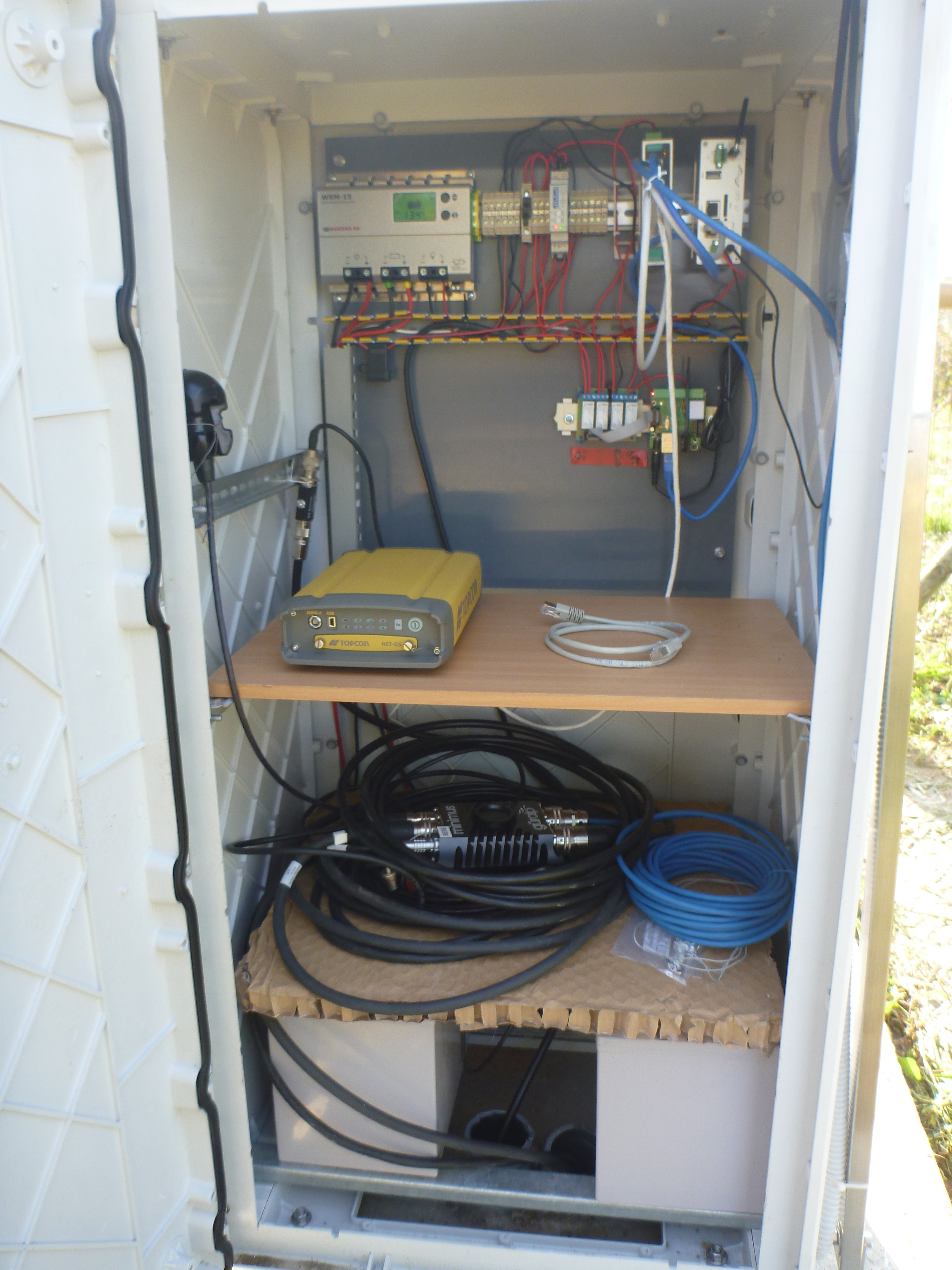
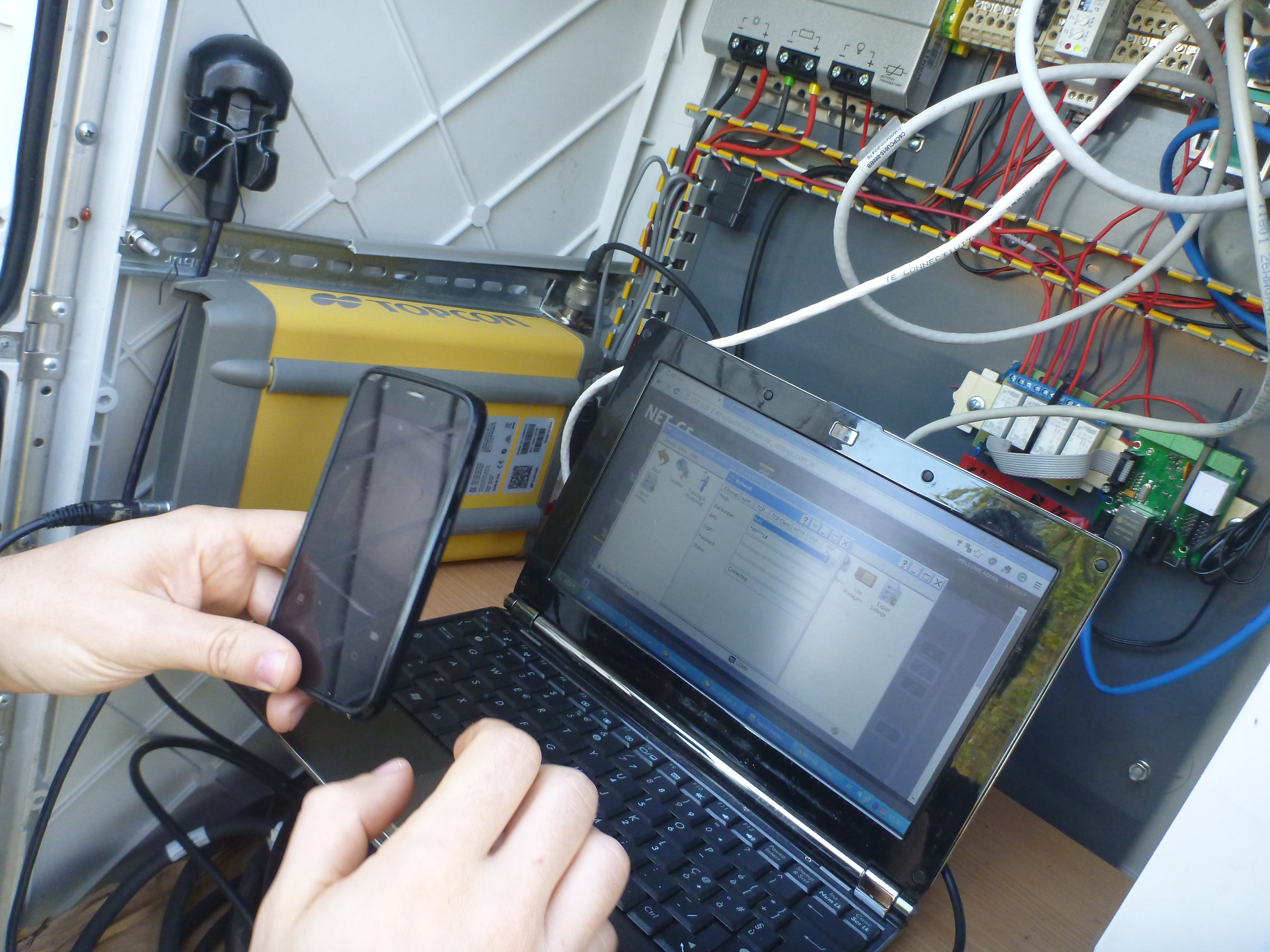
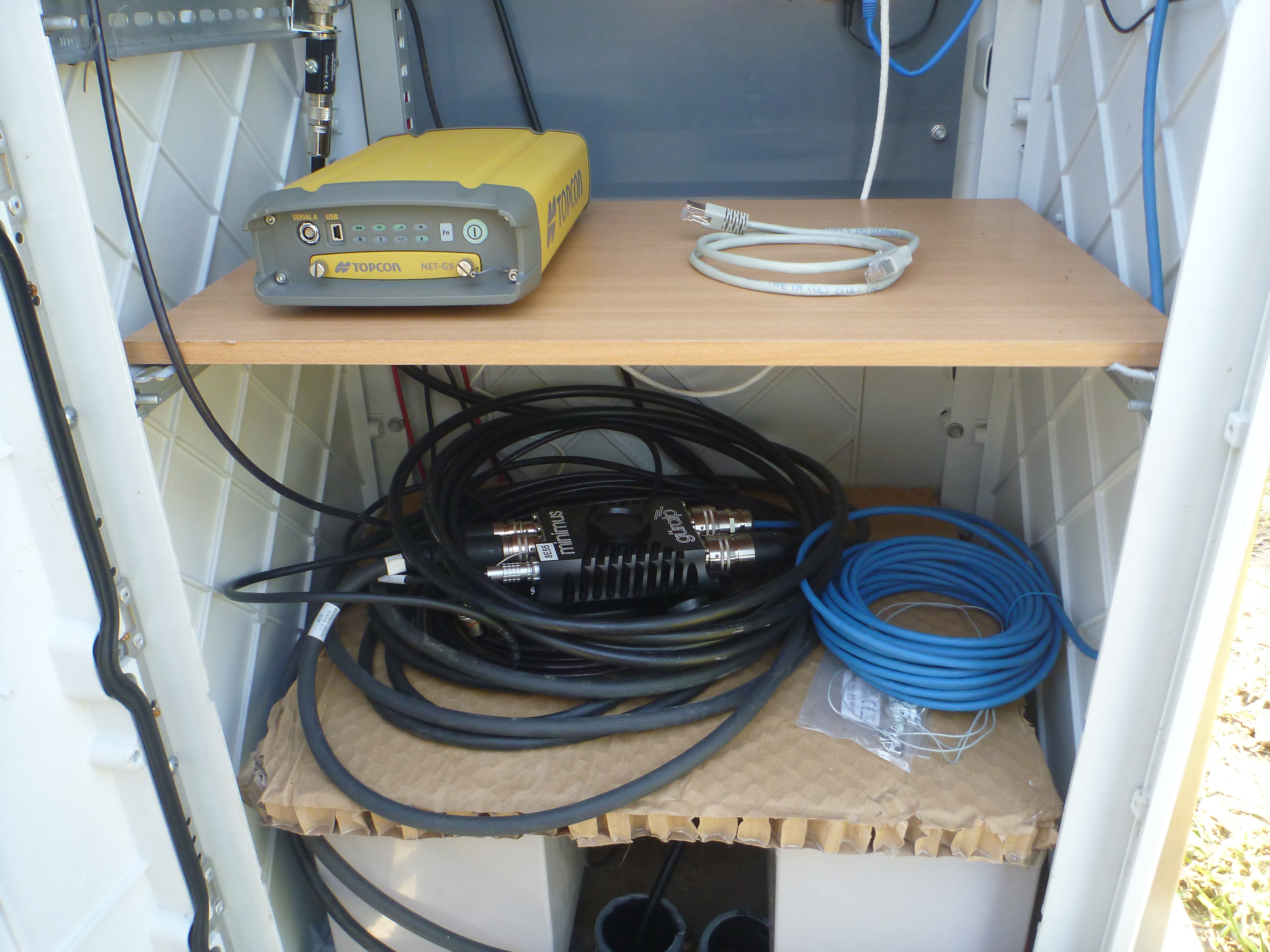
| Receiver | TOPCON NET-G5 | ||||||
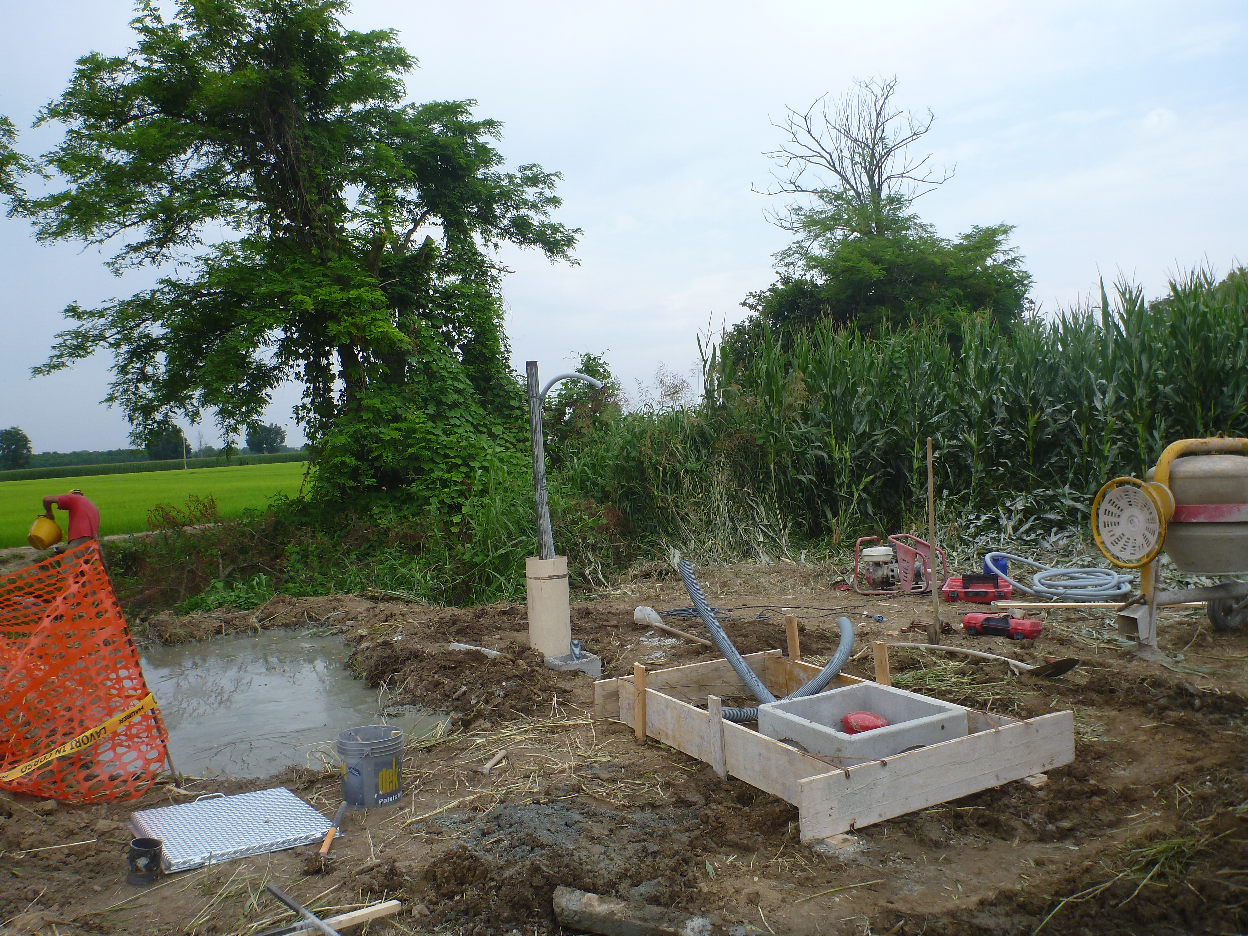
| Power supply | Pannelli fotovoltaici | ||||||
| Geology | Ghiaie alluvionali (Quaternario) | ||||||
Loading chart. Collecting data... (points: 0)
The plots below are created daily and display:
Input are the station RINEX observation and navigation files. Consequently, the graphs give a snapshot of the station tracking for a specific date.
Skyplot not available
National Institute of Oceanography and Applied Geophysics - OGS
Centro di Ricerche Sismologiche
Via Treviso 55, 33100 Udine, Italy
gnss@ogs.it