Real time data
Loading...
Not available
Loading chart. Collecting data... (points: 0)
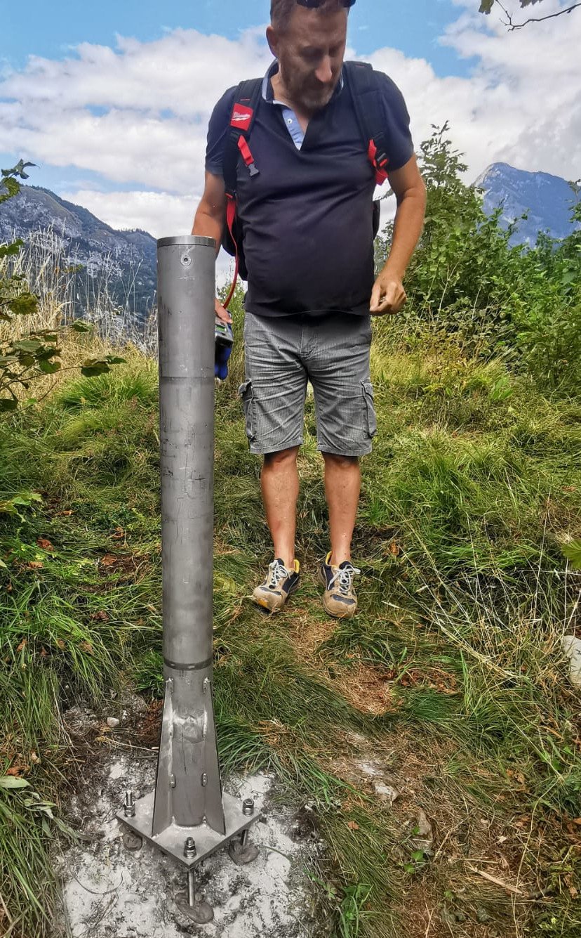
| Station ID | LOGA | ||||||
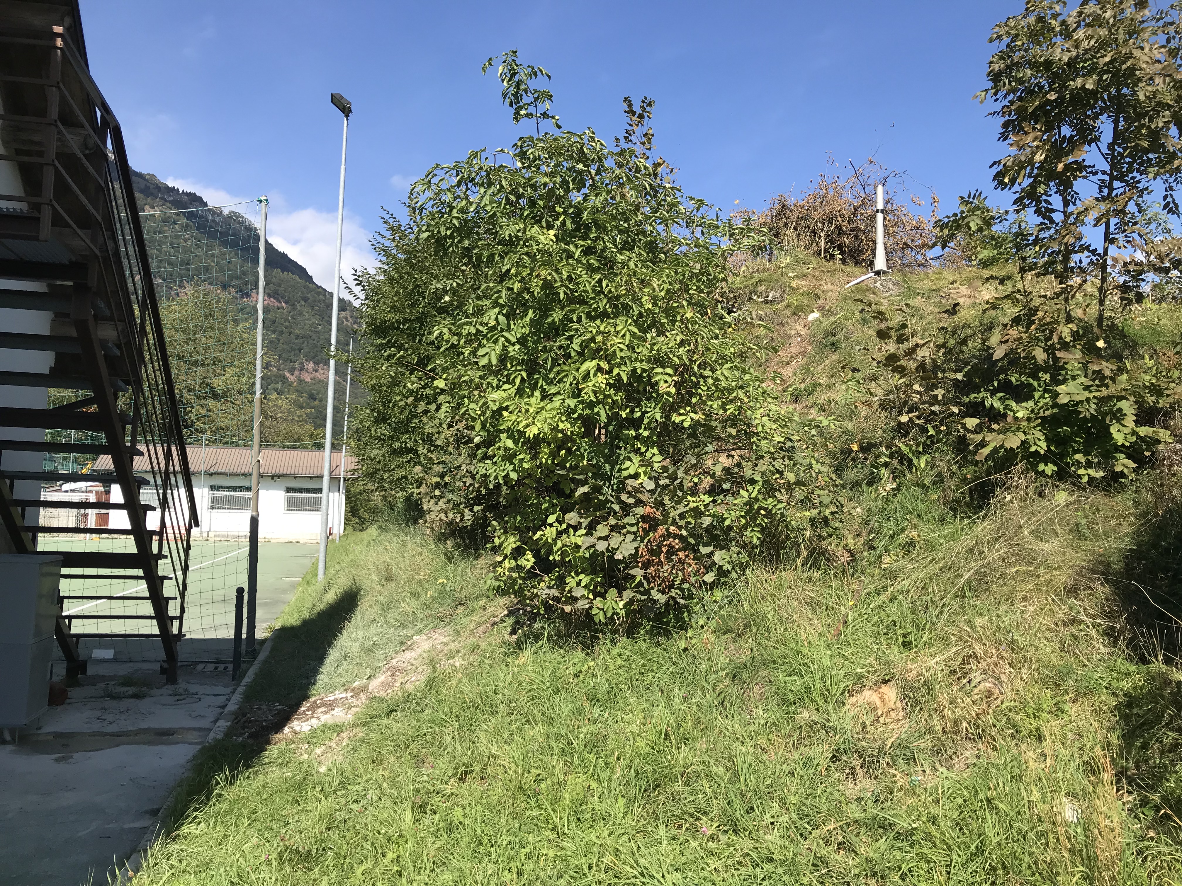
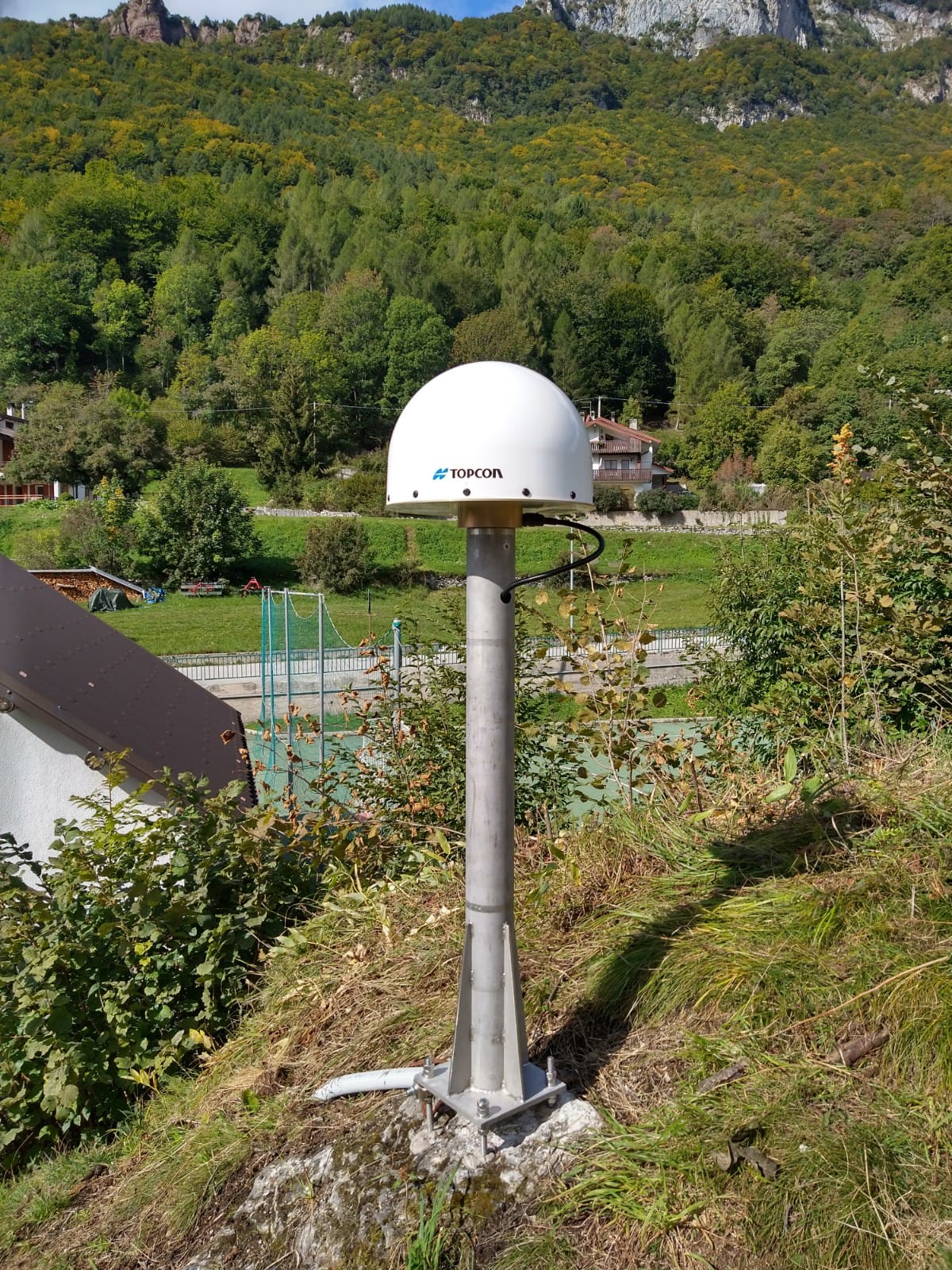
| Town or city | Podenzoi, Longarone (BL) | ||||||
| Day. of installation | dd/mm/yy | 10/10/2022 | |||||
| GPS time | week | 2231 | |||||
| day of year | 283 | ||||||
| Coordinates ITRS/WGS84-ITRF00(2008.0) | |||||||
|---|---|---|---|---|---|---|---|
| UTM | North (m) | N 5116164.080 | |||||
| East (m) | E 281860.845 | ||||||
| geog. | Lat | N 46°16'41.20277" | |||||
| Long | E 12°17'44.30010" | ||||||
| Ellipsoidal height (m) | 847.713 | ||||||
| Coordinates ETRS89/IGM95-ETRF2000(2008.0) | |||||||
| UTM | North (m) | 5128502.912 | |||||
| East (m) | 291649.674 | ||||||
| geog. | Lat | N 46°16'41.19120" | |||||
| Long | E 12°17'44.28309" | ||||||
| Ellipsoidal height (m) | 847.716 | ||||||
| Coordinates ETRS89/IGM95-ETRF89(1989.0) * | |||||||
| UTM | North (m) | N 5119350.731 | |||||
| East (m) | E 7022751.590 | ||||||
| geog. | Lat | N 46°16'41.1906'' | |||||
| Long | E 12°17'44.2821'' | ||||||
| Ellipsoidal height (m) | 847.587 | ||||||
| Coordinates ROMA40 * | |||||||
| Gauss Boaga | North (m) | N 5128525.222 | |||||
| East (m) | E 2311652.658 | ||||||
| geog. | Lat | N 46°16'38.7712'' | |||||
| Long | E 12°17'44.9970'' | ||||||
| Geodetic height (m) | 798.041 | ||||||
| Coordinates ED50 * | |||||||
| UTM | North (m) | N 5128695.217 | |||||
| East (m) | E 291718.623 | ||||||
| geog. | Lat | N 46°16'44.3455'' | |||||
| Long | E 12°17'47.8050'' | ||||||
| Geodetic height (m) | 798.041 | ||||||
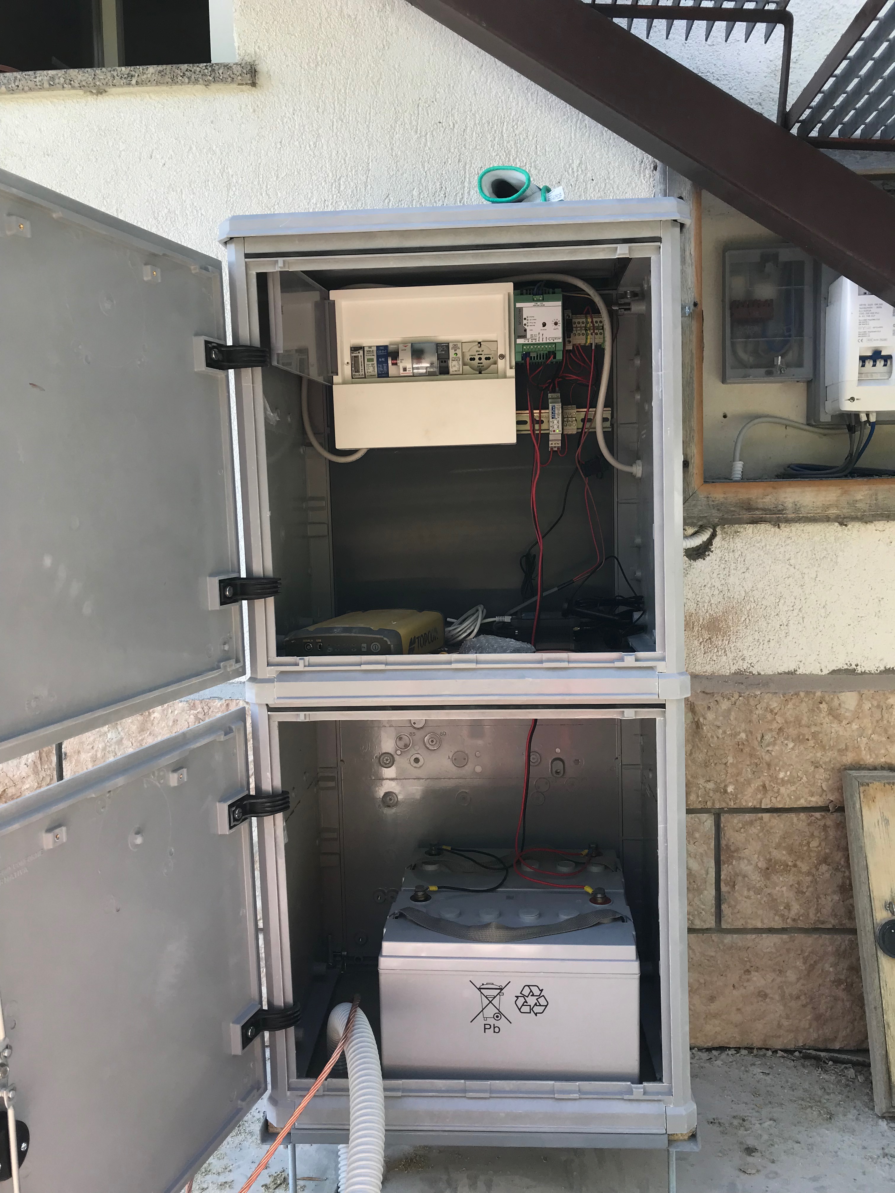
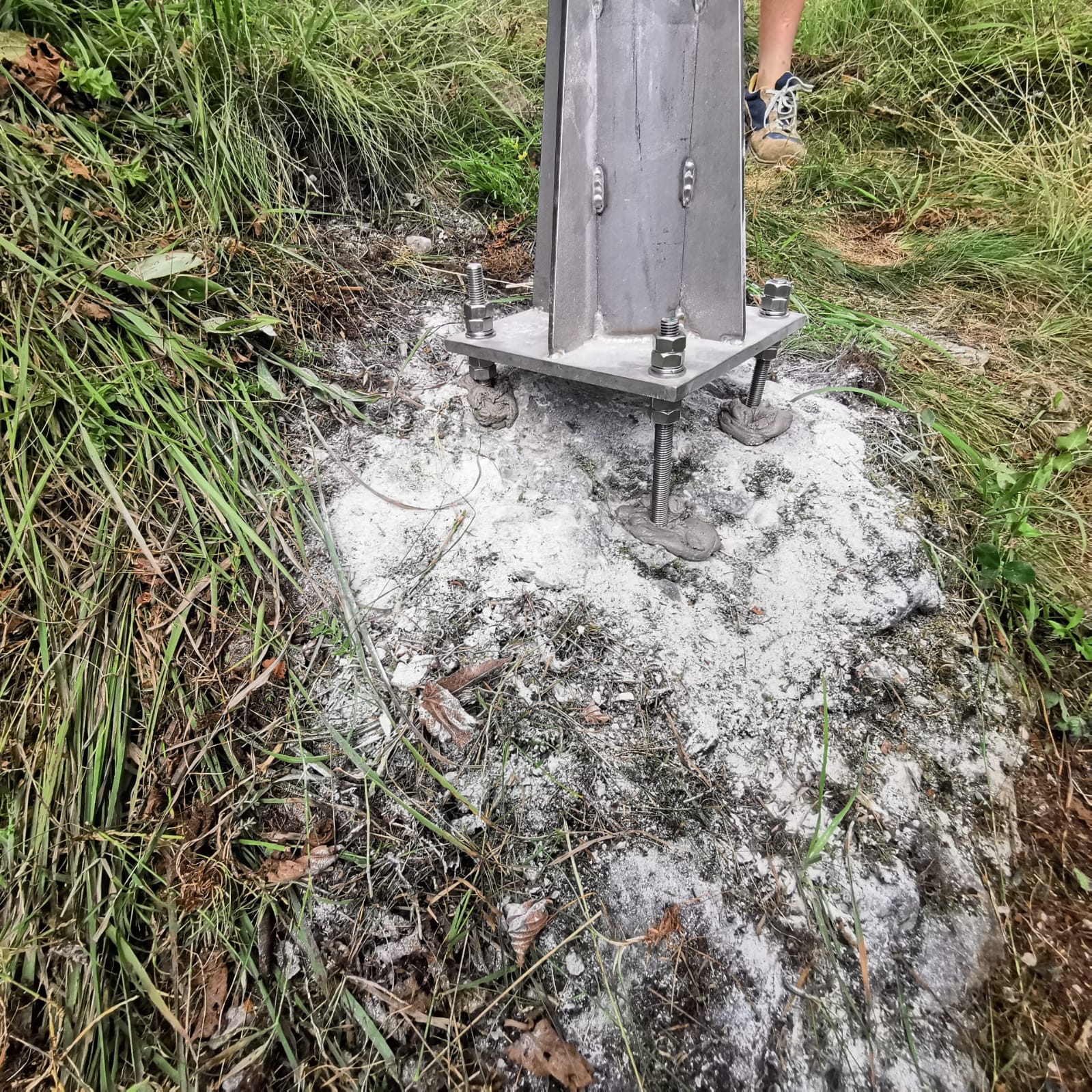
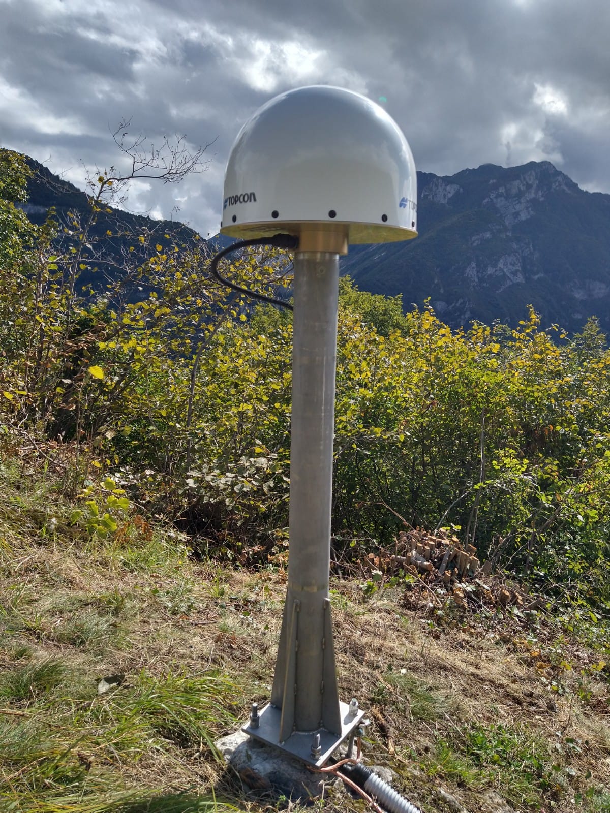
| Antenna | TPSCR.G5 | ||||||
| Receiver | TOPCON NET-G5 | ||||||
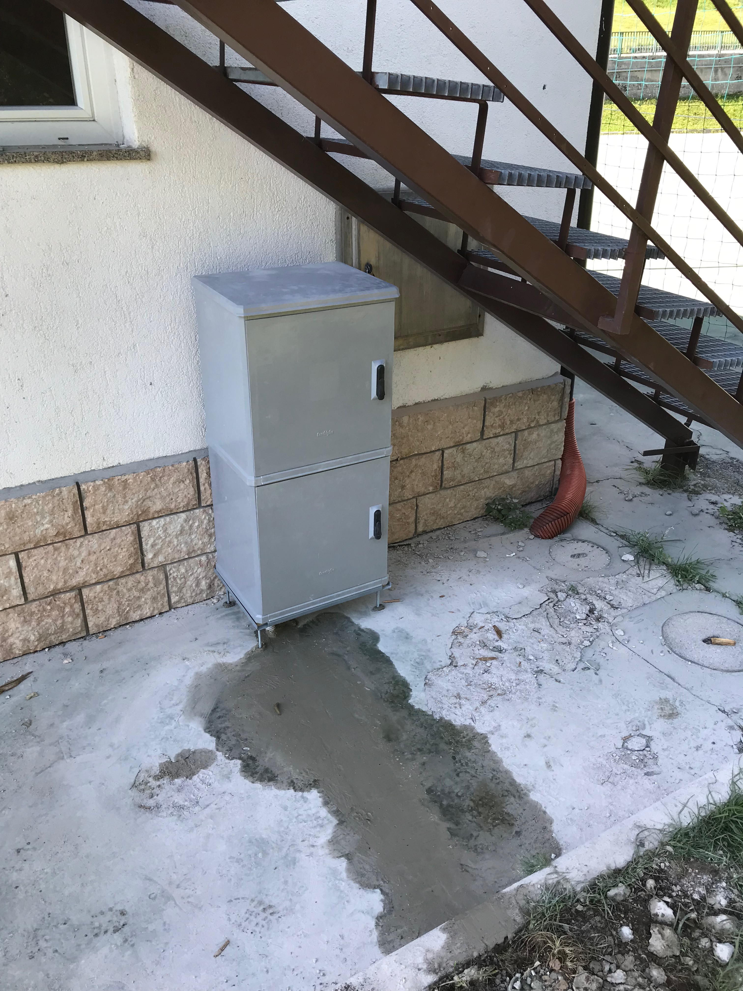
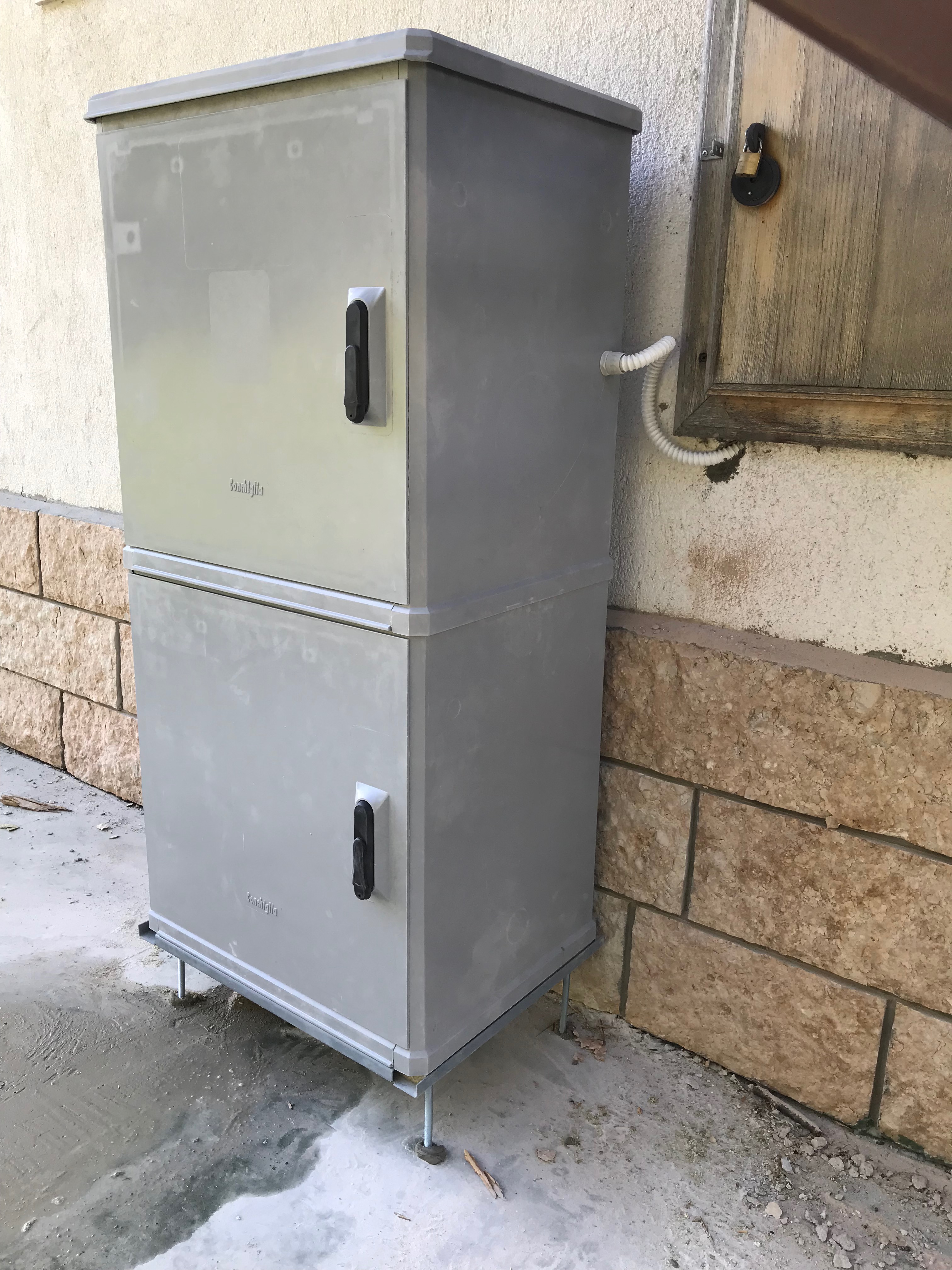
| Power supply | Alimentazione di rete 220V ac | ||||||
| Geology | |||||||
Loading chart. Collecting data... (points: 0)
The plots below are created daily and display:
Input are the station RINEX observation and navigation files. Consequently, the graphs give a snapshot of the station tracking for a specific date.
Skyplot not available
National Institute of Oceanography and Applied Geophysics - OGS
Centro di Ricerche Sismologiche
Via Treviso 55, 33100 Udine, Italy
gnss@ogs.it