Real time data
Loading...
Not available
Loading chart. Collecting data... (points: 0)
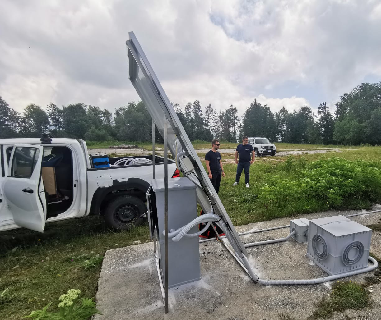
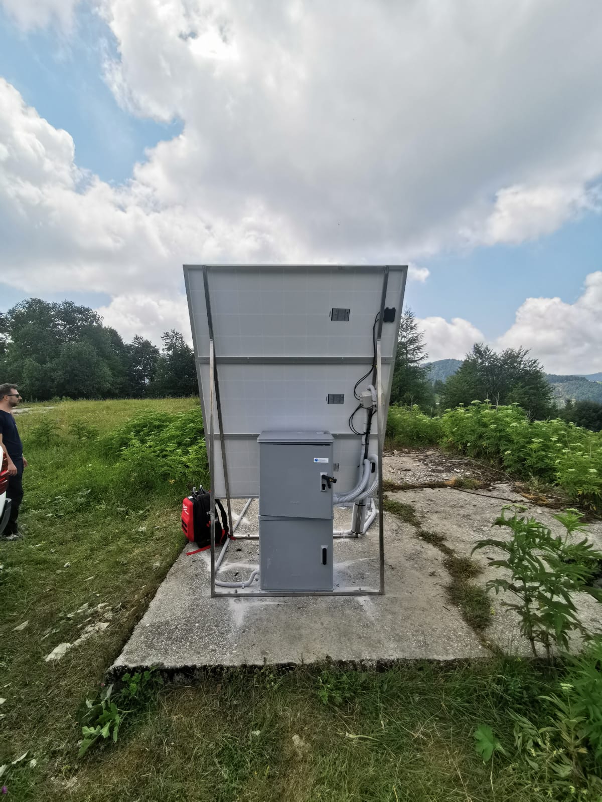
| Station ID | MGBU | ||||||
| Town or city | Monte Grappa, Cadorna (VI) | ||||||
| Day. of installation | dd/mm/yy | 30/06/2022 | |||||
| GPS time | week | 2216 | |||||
| day of year | 181 | ||||||
| Coordinates ITRS/WGS84-ITRF00(2008.0) | |||||||
|---|---|---|---|---|---|---|---|
| UTM | North (m) | N 5046061.461 | |||||
| East (m) | E 692461.668 | ||||||
| geog. | Lat | N 45°54'14.8341” | |||||
| Long | E 11°46'52.7693” | ||||||
| Ellipsoidal height (m) | 1516.008 | ||||||
| Coordinates ETRS89/IGM95-ETRF2000(2008.0) | |||||||
| UTM | North (m) | N 5077823.970 | |||||
| East (m) | E 6983056.918 | ||||||
| geog. | Lat | N 45°54'14.8341” | |||||
| Long | E 11°46'52.7693” | ||||||
| Ellipsoidal height (m) | 1516.508 | ||||||
| Coordinates ETRS89/IGM95-ETRF89(1989.0) * | |||||||
| UTM | North (m) | N 5077823.941 | |||||
| East (m) | E 6983056.910 | ||||||
| geog. | Lat | N 45°54'14.8332” | |||||
| Long | E 11°46'52.7690” | ||||||
| Ellipsoidal height (m) | 1516.439 | ||||||
| Coordinates ROMA40 * | |||||||
| Gauss Boaga | North (m) | N 5087179.398 | |||||
| East (m) | E 1715763.643 | ||||||
| geog. | Lat | N 45°54'12.4339” | |||||
| Long | E 11°46'53.5796” | ||||||
| Geodetic height (m) | 1468.041 | ||||||
| Coordinates ED50 * | |||||||
| UTM | North (m) | N 5087355.204 | |||||
| East (m) | E 715815.942 | ||||||
| geog. | Lat | N 45°54'18.0643” | |||||
| Long | E 11°46'56.2883” | ||||||
| Geodetic height (m) | 1468.041 | ||||||
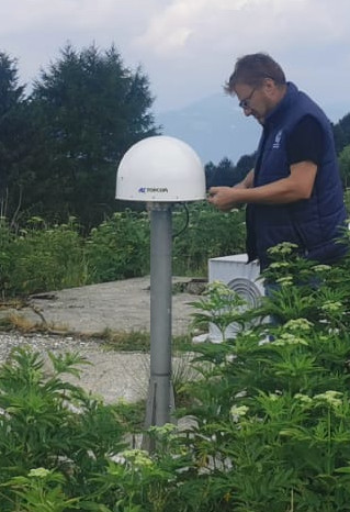
| Antenna | TPSCR.G5 | ||||||
| Receiver | TOPCON NET-G5 | ||||||
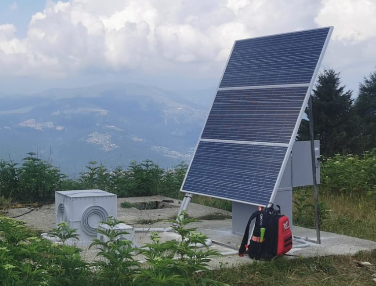
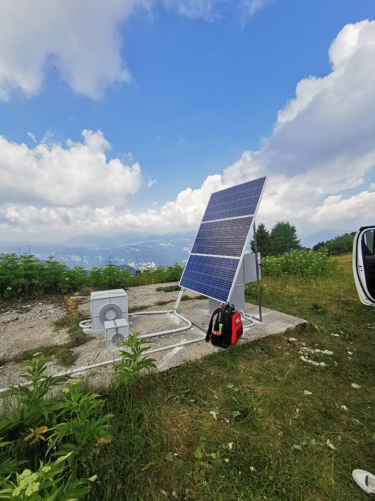
| Power supply | Pannelli fotovoltaici | ||||||
| Geology | |||||||
Loading chart. Collecting data... (points: 0)
The plots below are created daily and display:
Input are the station RINEX observation and navigation files. Consequently, the graphs give a snapshot of the station tracking for a specific date.
Skyplot not available
National Institute of Oceanography and Applied Geophysics - OGS
Centro di Ricerche Sismologiche
Via Treviso 55, 33100 Udine, Italy
gnss@ogs.it