Real time data
Loading...
Not available
Loading chart. Collecting data... (points: 0)
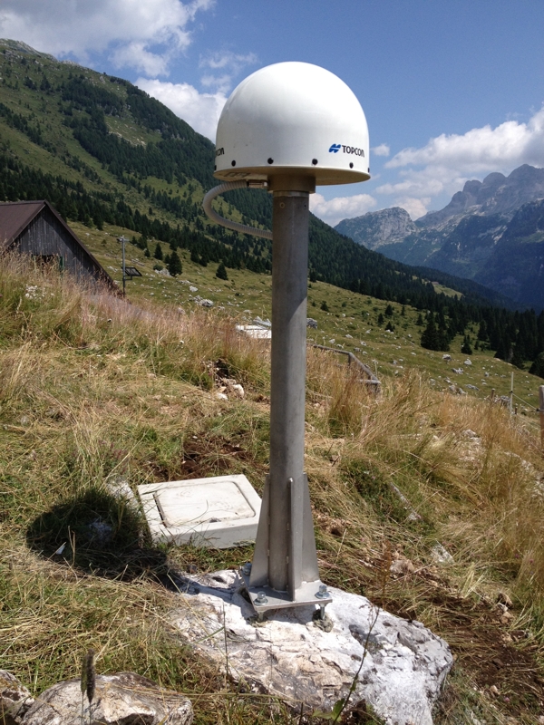
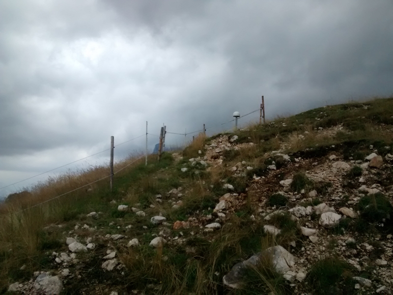
| Station ID | PMNT | ||||||
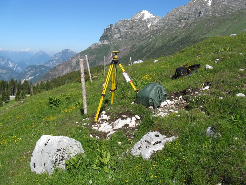
| Town or city | Plan di Montasio, Sella Nevea (UD) | ||||||
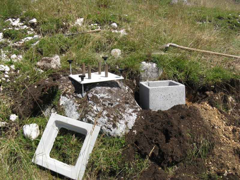
| Day. of installation | dd/mm/yy | 28/07/2015 | |||||
| GPS time | week | 1855 | |||||
| day of year | 209 | ||||||
| Coordinates ITRS/WGS84-ITRF00(2008.0) | |||||||
|---|---|---|---|---|---|---|---|
| UTM | North (m) | N 5140682.517 | |||||
| East (m) | E 380243.766 | ||||||
| geog. | Lat | N 46° 24' 32.7616'' | |||||
| Long | E 13° 26' 30.7512'' | ||||||
| Ellipsoidal height (m) | 1597.143 | ||||||
| Coordinates ETRS89/IGM95-ETRF2000(2008.0) | |||||||
| UTM | North (m) | N 5140682.181 | |||||
| East (m) | E 380243.402 | ||||||
| geog. | Lat | N 46° 24' 32.75055'' | |||||
| Long | E 13° 26' 30.73464'' | ||||||
| Ellipsoidal height (m) | 1597.1483 | ||||||
| Coordinates ETRS89/IGM95-ETRF89(1989.0) * | |||||||
| UTM | North (m) | N 5 140 682 168 | |||||
| East (m) | E 380 243 381 | ||||||
| geog. | Lat | N 46° 24' 32,7501'' | |||||
| Long | E 13° 26' 30,7335'' | ||||||
| Ellipsoidal height (m) | 1597.002 | ||||||
| Coordinates ROMA40 * | |||||||
| Gauss Boaga | North (m) | N 5 140 706.206 | |||||
| East (m) | E 2 400 247.441 | ||||||
| geog. | Lat | N 46° 24' 30.3643'' | |||||
| Long | E 0° 59' 22.8541'' | ||||||
| Geodetic height (m) | 1548.620 | ||||||
| Coordinates ED50 * | |||||||
| UTM | North (m) | N 5 140 874.545 | |||||
| East (m) | E 380 313.730 | ||||||
| geog. | Lat | N 46° 24' 35.8584'' | |||||
| Long | E 13° 26' 34.2025'' | ||||||
| Geodetic height (m) | 1548.620 | ||||||
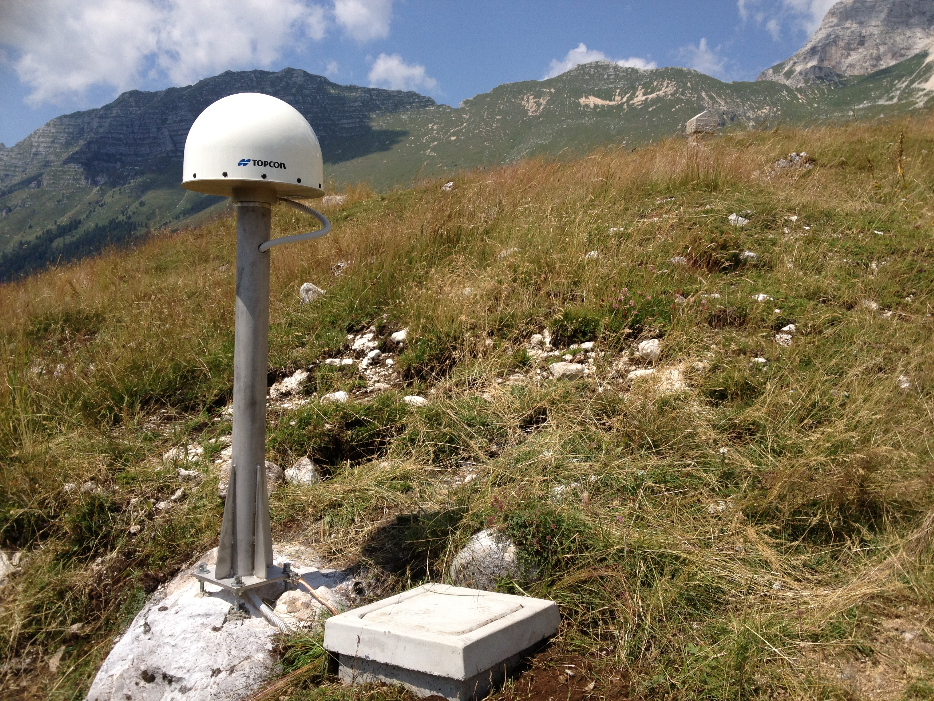
| Antenna | ASH701945E_M | ||||||
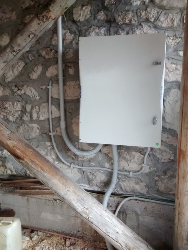
| Receiver | TOPCON NET-G3A | ||||||
| Power supply | Pannelli fotovoltaici | ||||||
| Geology | Calcari (Devoniano) | ||||||
Loading chart. Collecting data... (points: 0)
The plots below are created daily and display:
Input are the station RINEX observation and navigation files. Consequently, the graphs give a snapshot of the station tracking for a specific date.
Skyplot not available


Not available

Webcam 2: Not available
National Institute of Oceanography and Applied Geophysics - OGS
Centro di Ricerche Sismologiche
Via Treviso 55, 33100 Udine, Italy
gnss@ogs.it