Real time data
Loading...
Not available
Loading chart. Collecting data... (points: 0)
| Station ID | TOLS | ||||||
| Town or city | TOLMEZZO (UD) | ||||||
| Day. of installation | dd/mm/yy | 08/10/2021 | |||||
| GPS time | week | 2170 | |||||
| day of year | 222 | ||||||
| Coordinates ITRS/WGS84-ITRF00(2008.0) | |||||||
|---|---|---|---|---|---|---|---|
| UTM | North (m) | N 5140893.276 | |||||
| East (m) | E 347361.641 | ||||||
| geog. | Lat | N 46°24'15.72816 | |||||
| Long | E 13°00'51.18099 | ||||||
| Ellipsoidal height (m) | 379.916 | ||||||
| Coordinates ETRS89/IGM95-ETRF2000(2008.0) | |||||||
| UTM | North (m) | N 5133821.298 | |||||
| East (m) | E 347361.641 | ||||||
| geog. | Lat | N 46°24'15.72816 | |||||
| Long | E 13°00'51.18099 | ||||||
| Ellipsoidal height (m) | 379.916 | ||||||
| Coordinates ETRS89/IGM95-ETRF89(1989.0) * | |||||||
| UTM | North (m) | N 5140893.273 | |||||
| East (m) | E 347361.622 | ||||||
| geog. | Lat | N 46°24'15,7280" | |||||
| Long | E 13°00'51,18011" | ||||||
| Ellipsoidal height (m) | 331.901 | ||||||
| Coordinates ROMA40 * | |||||||
| Gauss Boaga | North (m) | N 5140916.800 | |||||
| East (m) | E 2367365.777 | ||||||
| geog. | Lat | N 46°24'13,32880 | |||||
| Long | E 13°00'51,79641 | ||||||
| Geodetic height (m) | 331.9010 | ||||||
| Coordinates ED50 * | |||||||
| UTM | North (m) | N 5141085.647 | |||||
| East (m) | E 347432.222 | ||||||
| geog. | Lat | N 46°24'18,84980 | |||||
| Long | E 13°00'54,70791 | ||||||
| Geodetic height (m) | 331.9010 | ||||||
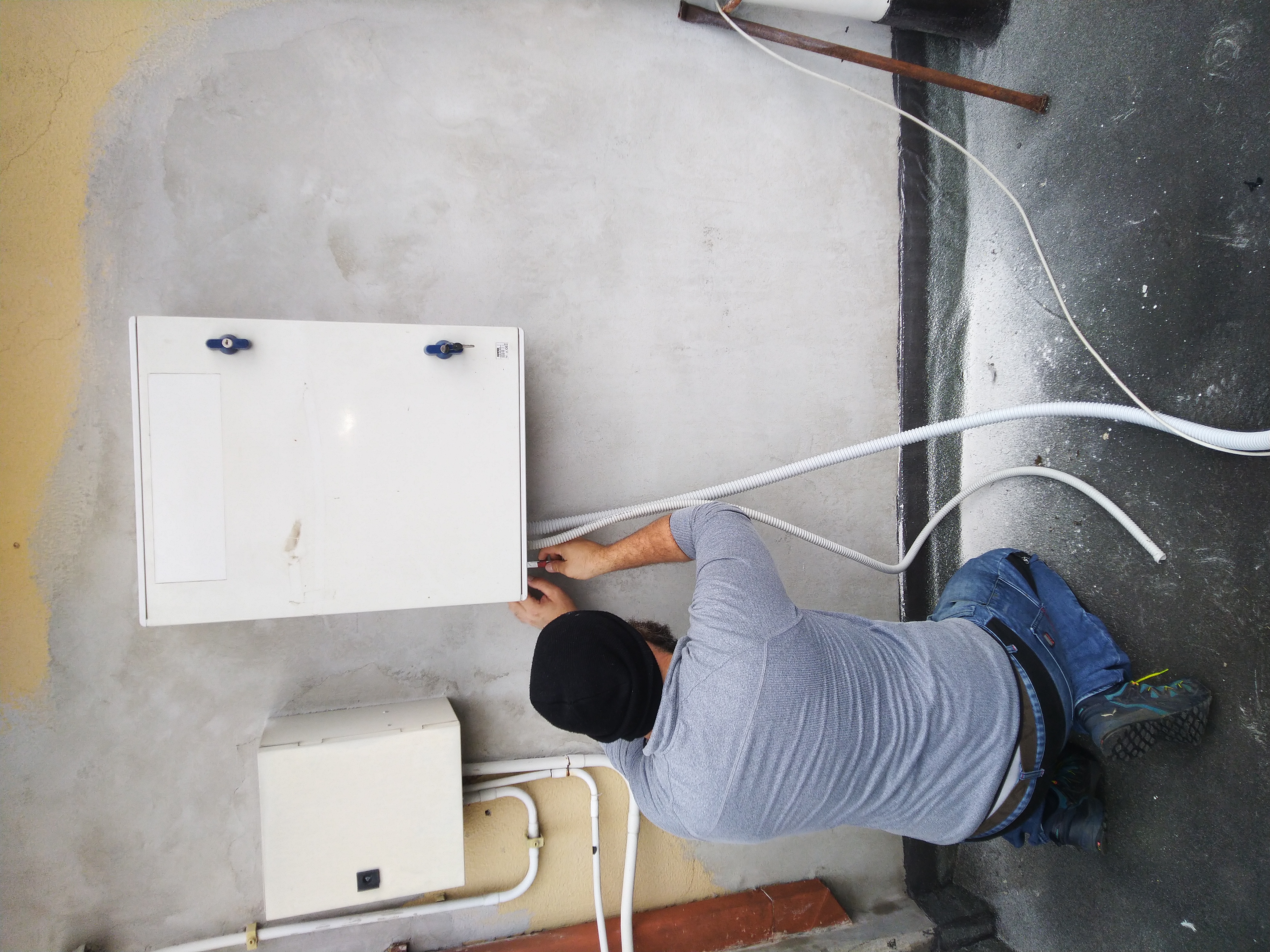
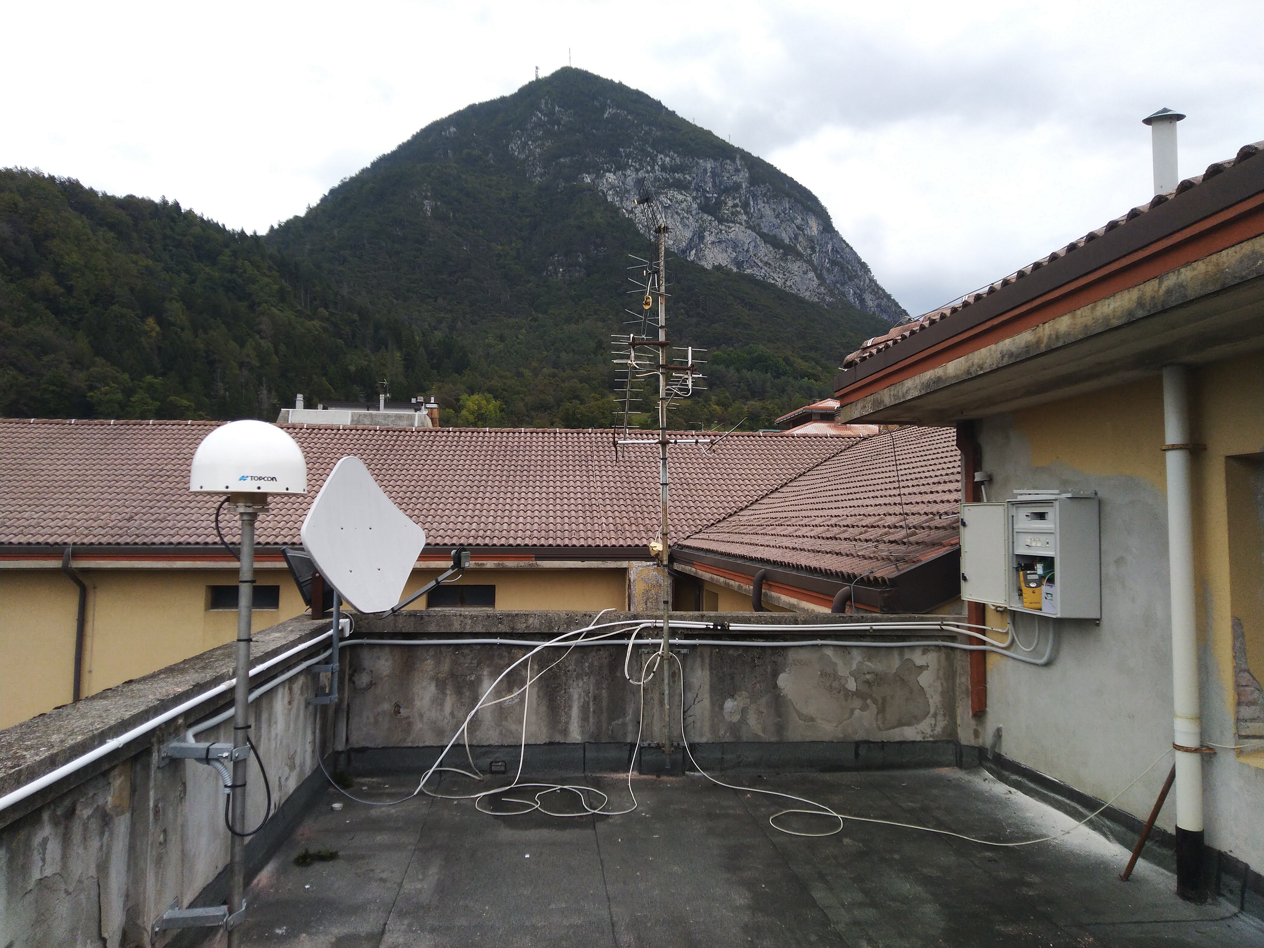
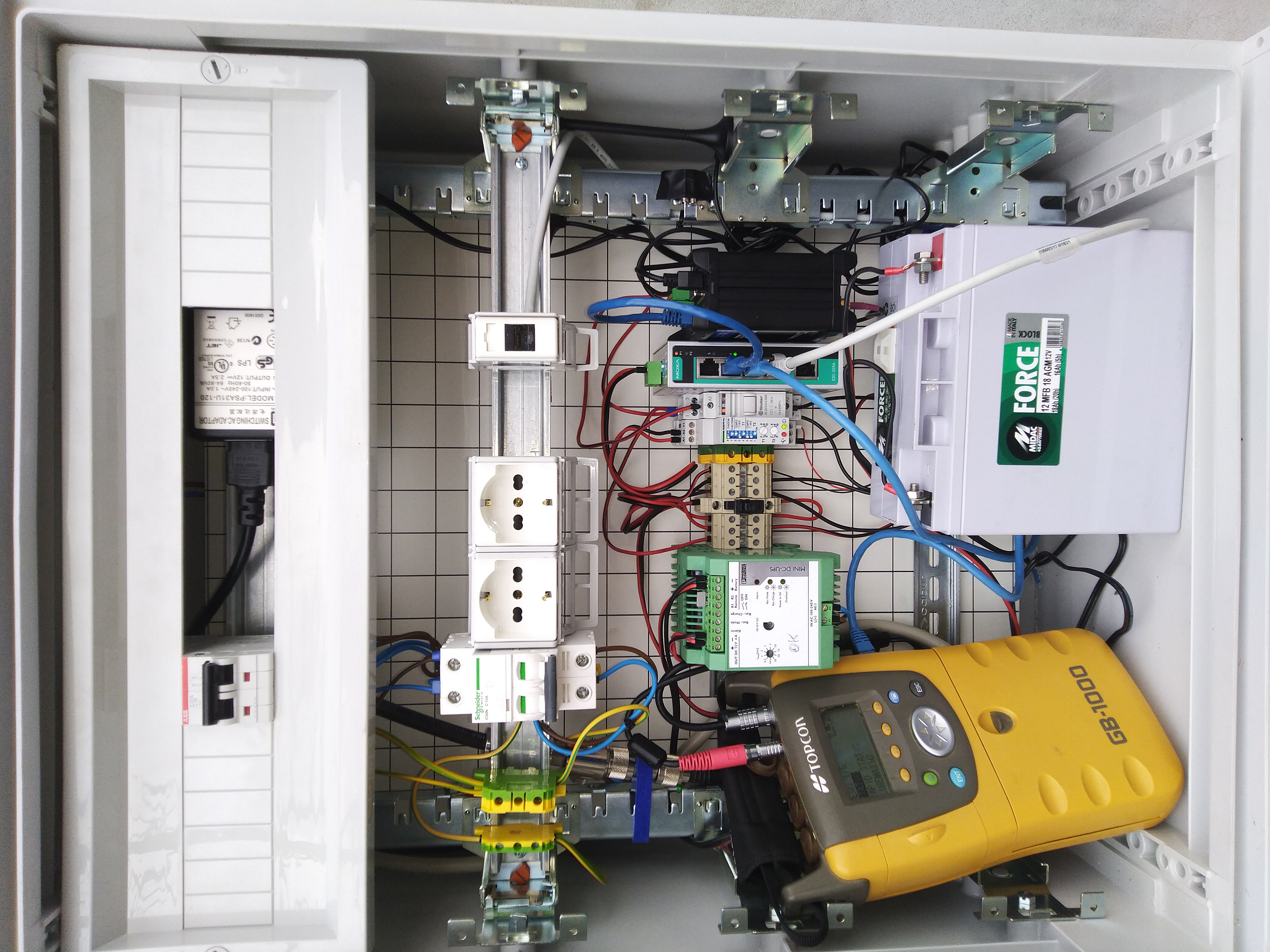
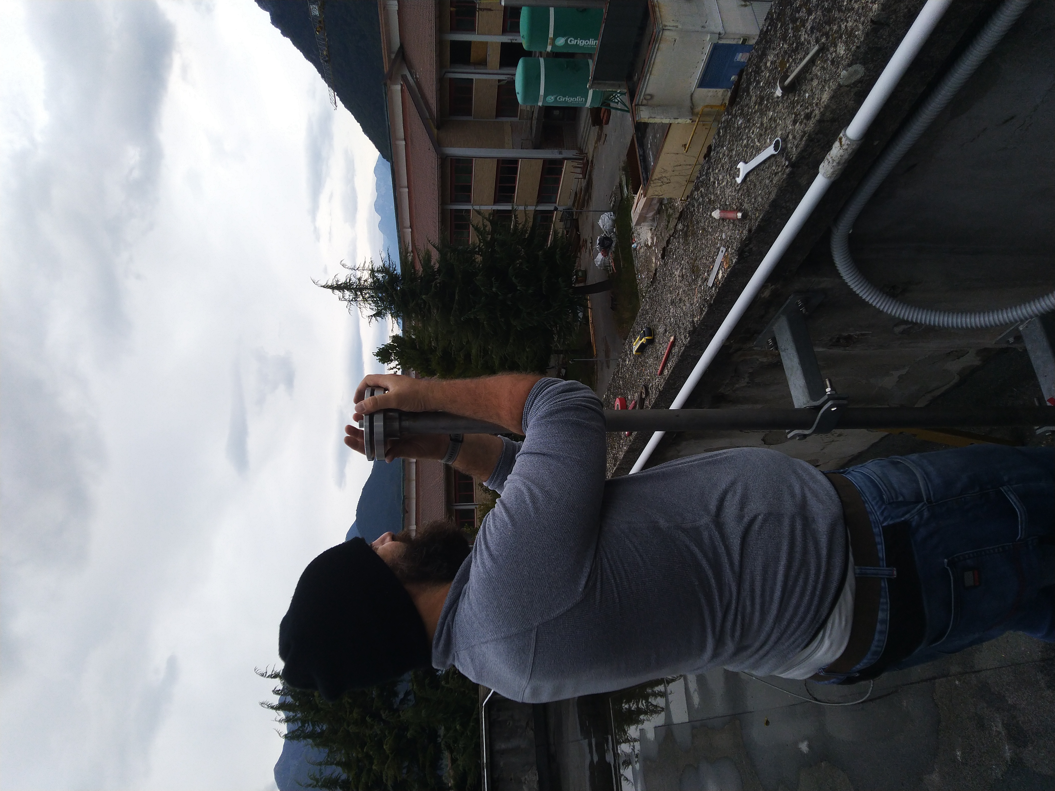
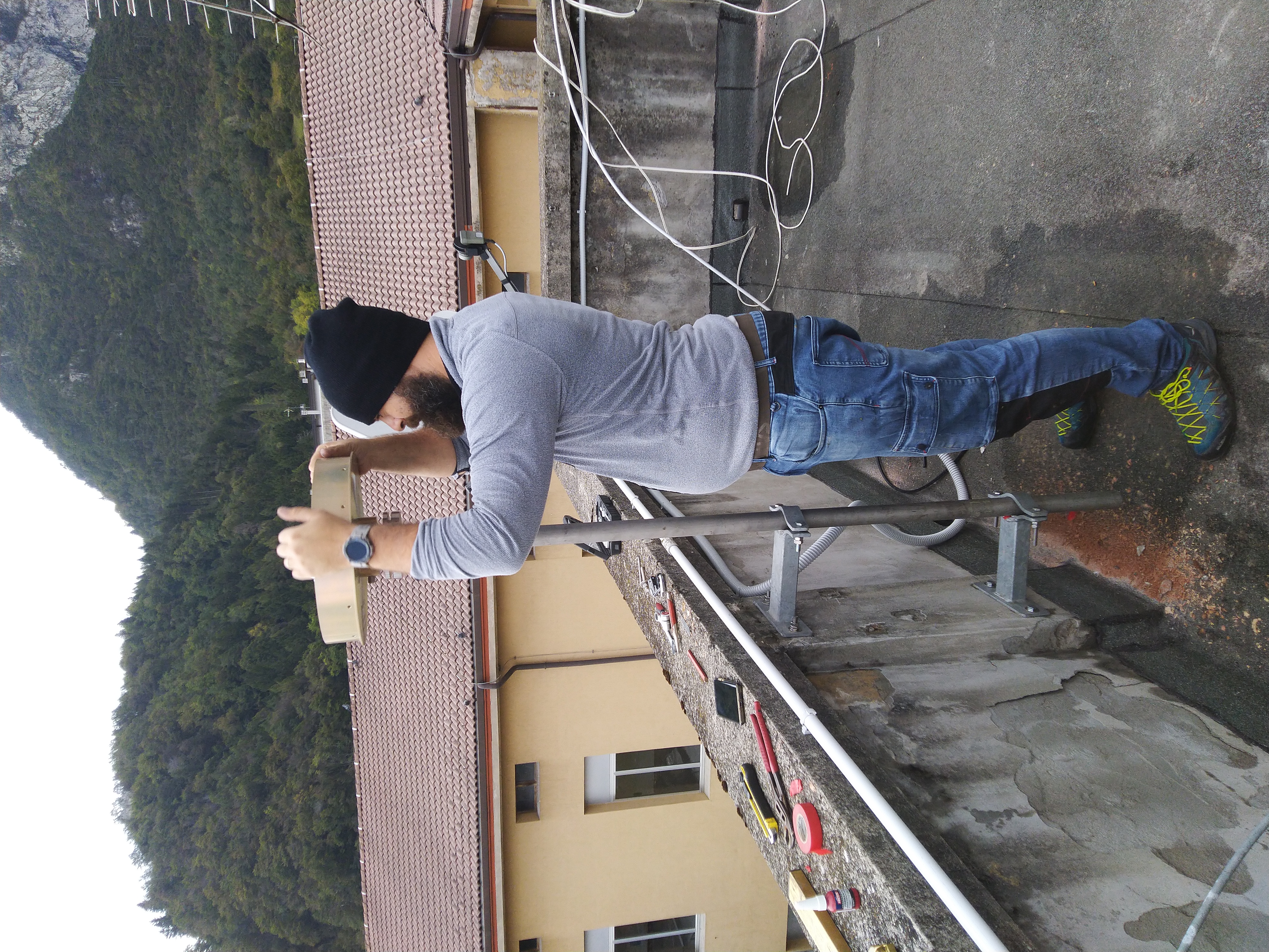
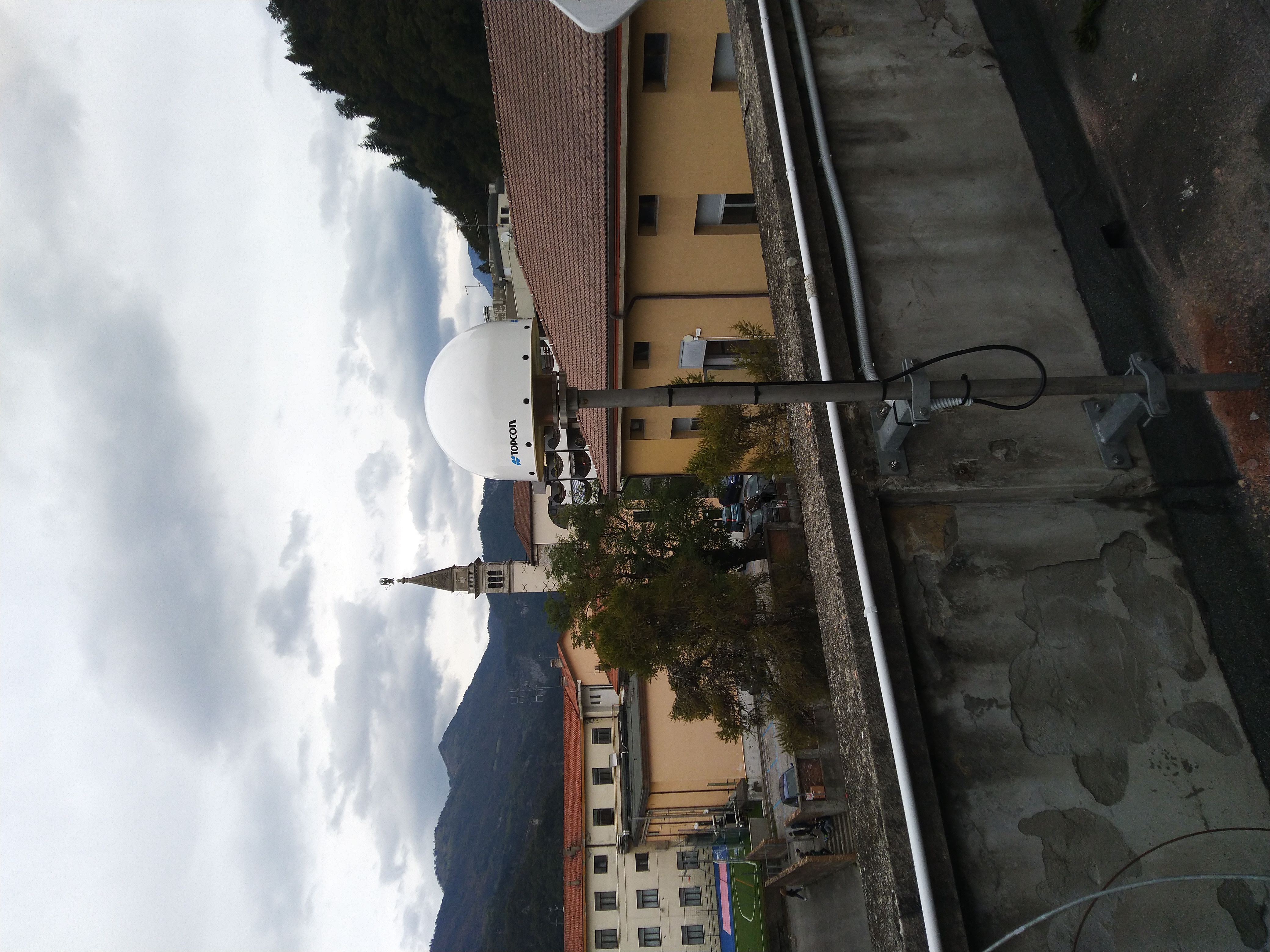
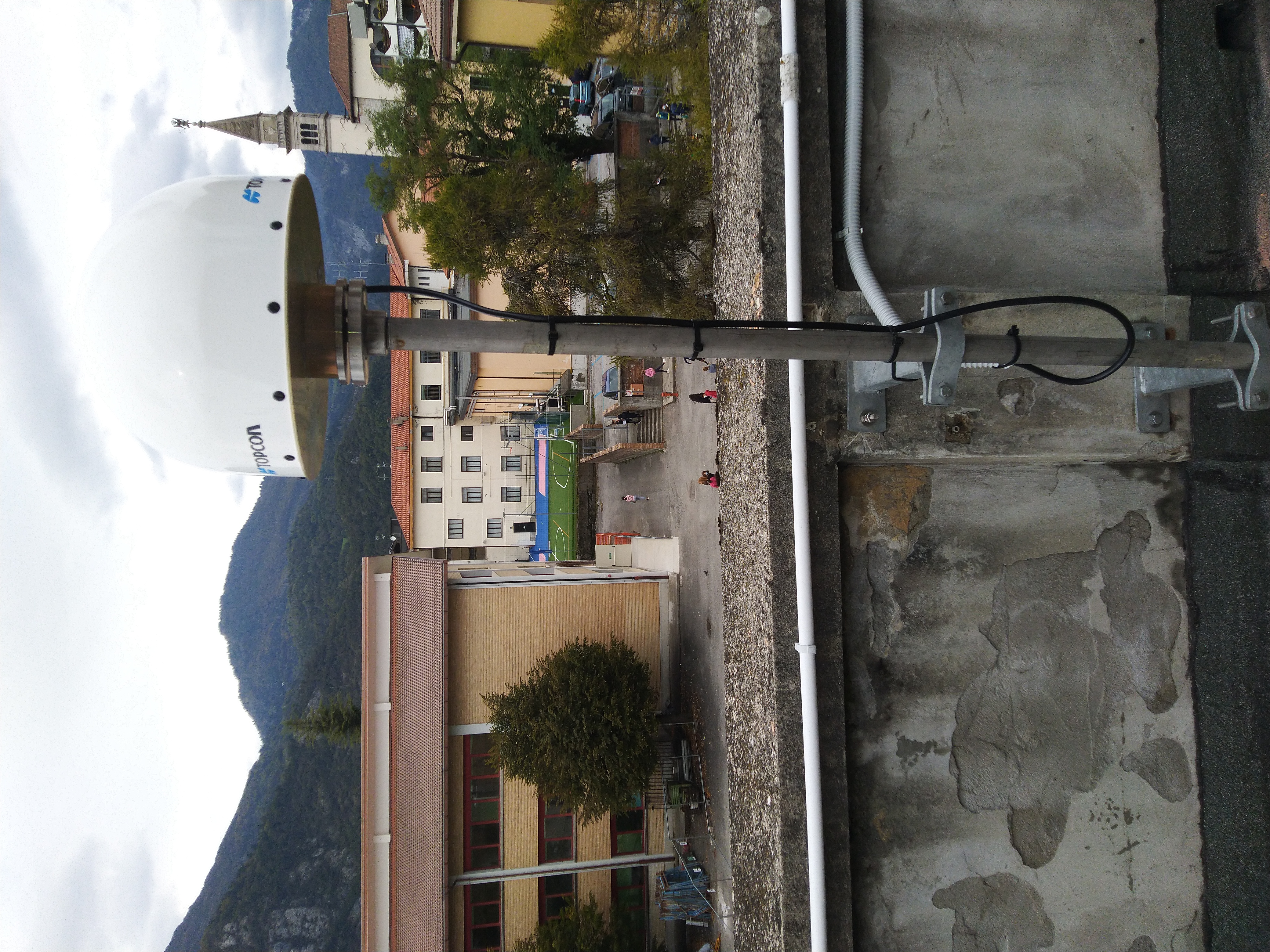
| Antenna | TPSCR_G5 TPSH | ||||||
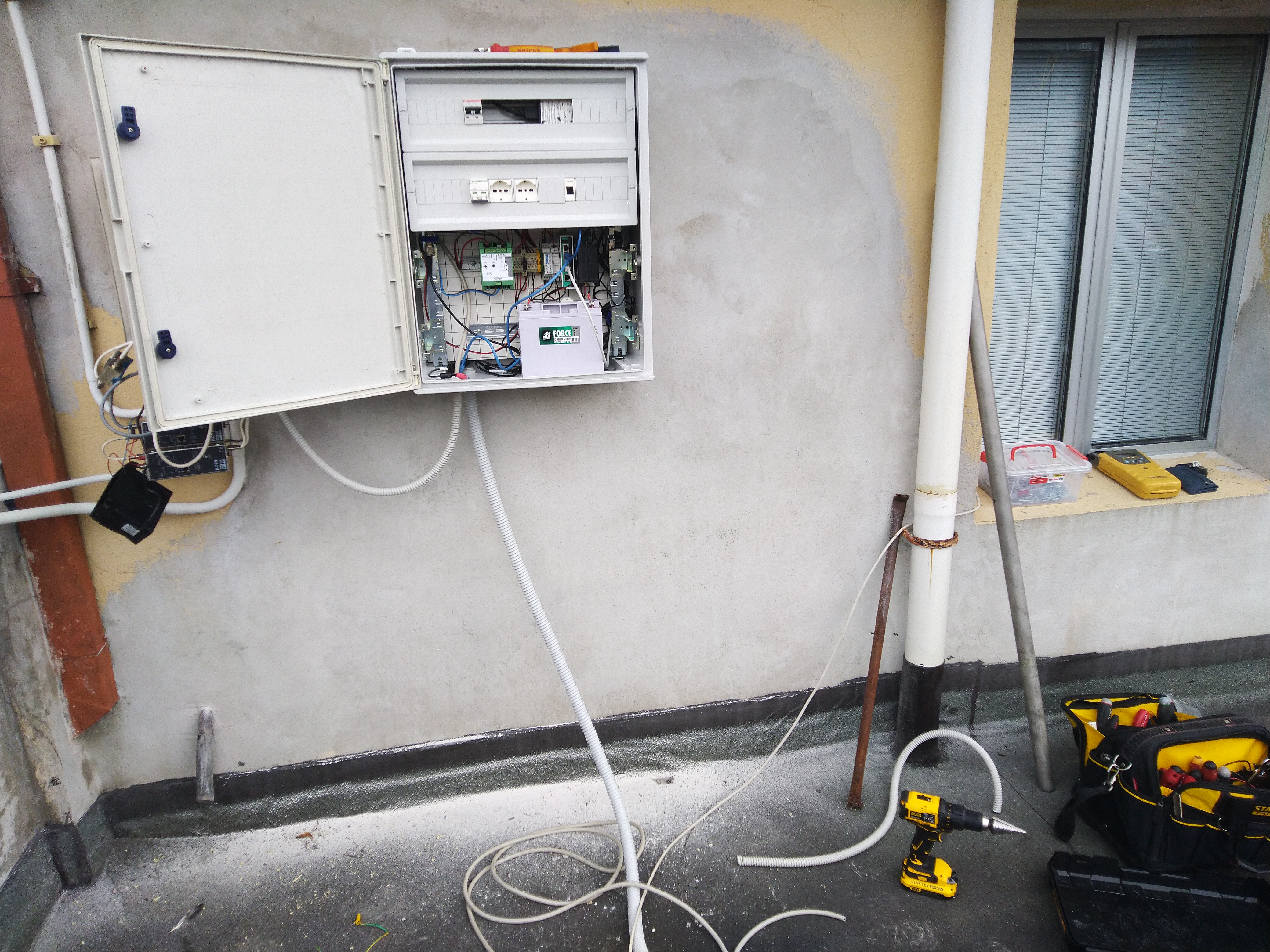
| Receiver | TOPCON GB-1000 | ||||||
| Power supply | Alimentazione di rete 220V ac | ||||||
| Geology | Dolomie e calcari dolomitici | ||||||
Loading chart. Collecting data... (points: 0)
The plots below are created daily and display:
Input are the station RINEX observation and navigation files. Consequently, the graphs give a snapshot of the station tracking for a specific date.
Skyplot not available
National Institute of Oceanography and Applied Geophysics - OGS
Centro di Ricerche Sismologiche
Via Treviso 55, 33100 Udine, Italy
gnss@ogs.it