Real time data
Loading...
Not available
Loading chart. Collecting data... (points: 0)
| Station ID | UDIN | ||||||
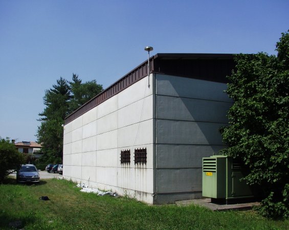
| Town or city | Cussignacco,(UD) | ||||||
| Day. of installation | dd/mm/yy | 12/06/2002 | |||||
| GPS time | week | 1170 | |||||
| day of year | 163 | ||||||
| Coordinates ITRS/WGS84-ITRF00(2008.0) | |||||||
|---|---|---|---|---|---|---|---|
| UTM | North (m) | non disponibile | |||||
| East (m) | non disponibile | ||||||
| geog. | Lat | N 46° 02' 13.7759" | |||||
| Long | E 13° 15' 10.8703" | ||||||
| Ellipsoidal height (m) | 146.004 | ||||||
| Coordinates ETRS89/IGM95-ETRF2000(2008.0) | |||||||
| UTM | North (m) | N 5099659.544 | |||||
| East (m) | E 364818.235 | ||||||
| geog. | Lat | N 46° 02' 13.7654" | |||||
| Long | E 13° 15' 10.8549" | ||||||
| Ellipsoidal height (m) | 146.013 | ||||||
| Coordinates ETRS89/IGM95-ETRF89(1989.0) * | |||||||
| UTM | North (m) | N 5099659.524 | |||||
| East (m) | E 364 818.220 | ||||||
| geog. | Lat | N 46° 02' 13.7647" | |||||
| Long | E 13° 15' 10.8543" | ||||||
| Ellipsoidal height (m) | 145.859 | ||||||
| Coordinates ROMA40 * | |||||||
| Gauss Boaga | North (m) | N 5099682.203 | |||||
| East (m) | E 2384823.050 | ||||||
| geog. | Lat | N 46° 02' 11.3806" | |||||
| Long | E 0° 48' 03.0478" | ||||||
| Geodetic height (m) | 101.306 | ||||||
| Coordinates ED50 * | |||||||
| UTM | North (m) | N 5099851.788 | |||||
| East (m) | E 364889.127 | ||||||
| geog. | Lat | N 46° 02' 16.9196" | |||||
| Long | E 13° 15' 14.3473" | ||||||
| Geodetic height (m) | 101.306 | ||||||
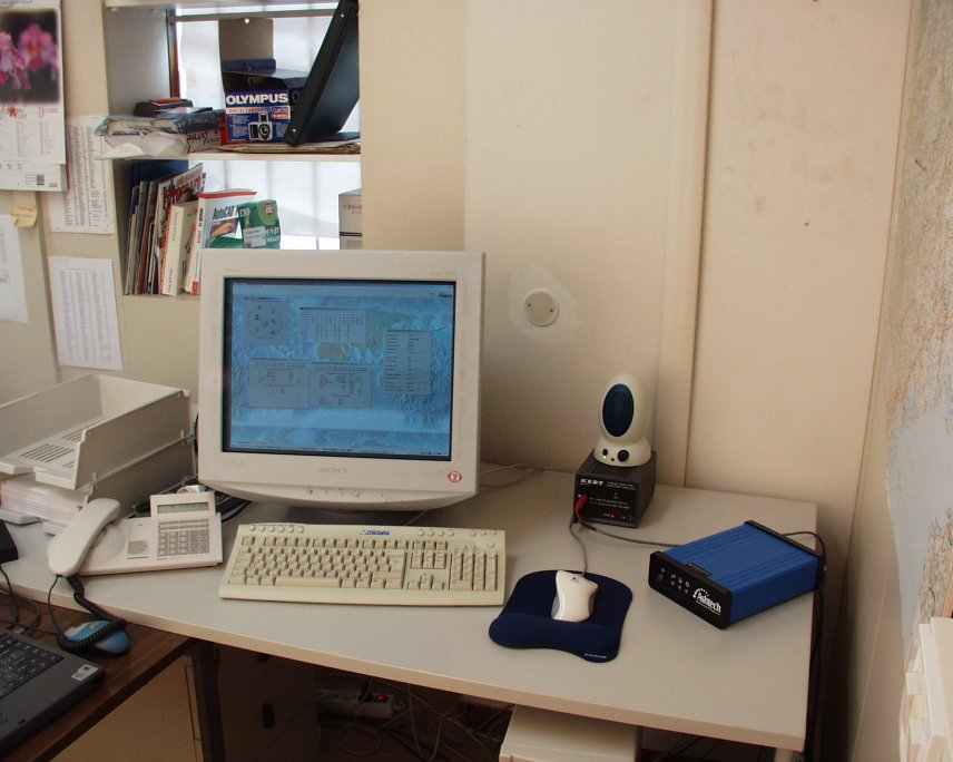
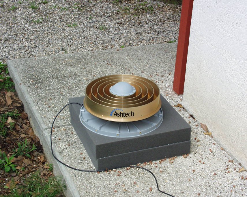
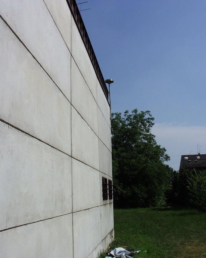
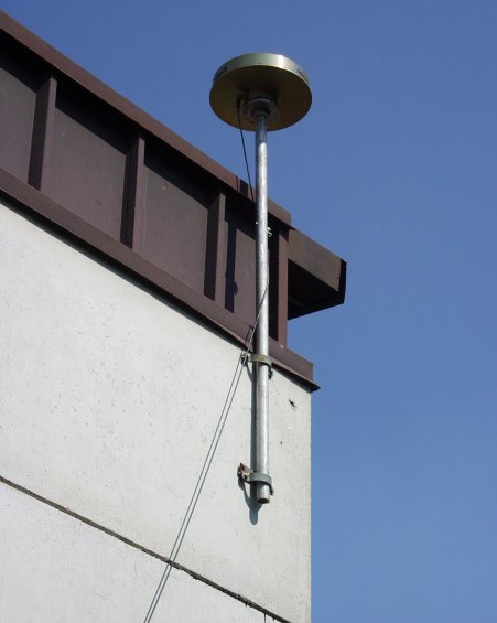
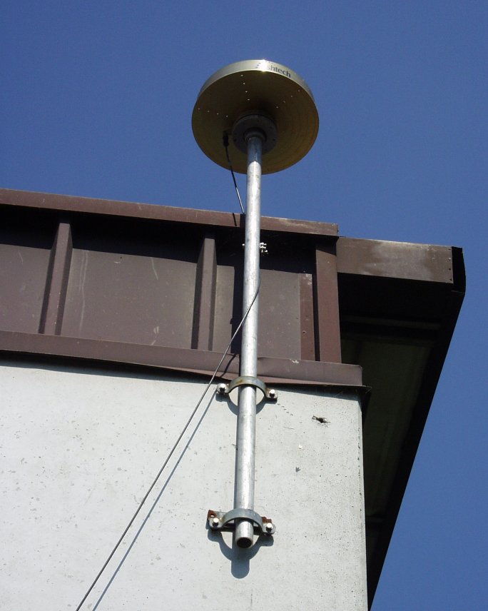
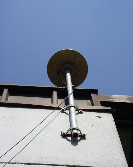
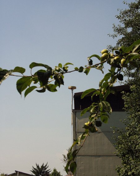
| Antenna | ASH701945E_M | ||||||
| Receiver | ASHTECH UZ-12 | ||||||
| Power supply | Alimentazione di rete 220V ac | ||||||
| Geology | Ghiaie alluvionali (Quaternario) | ||||||
Loading chart. Collecting data... (points: 0)
The plots below are created daily and display:
Input are the station RINEX observation and navigation files. Consequently, the graphs give a snapshot of the station tracking for a specific date.
Skyplot not available
National Institute of Oceanography and Applied Geophysics - OGS
Centro di Ricerche Sismologiche
Via Treviso 55, 33100 Udine, Italy
gnss@ogs.it