Real time data
Loading...
Not available
Loading chart. Collecting data... (points: 0)
| Station ID | VALS | ||||||
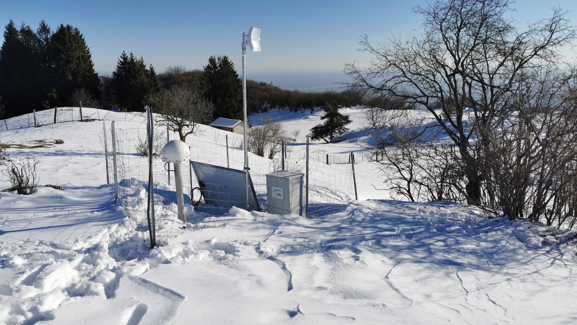
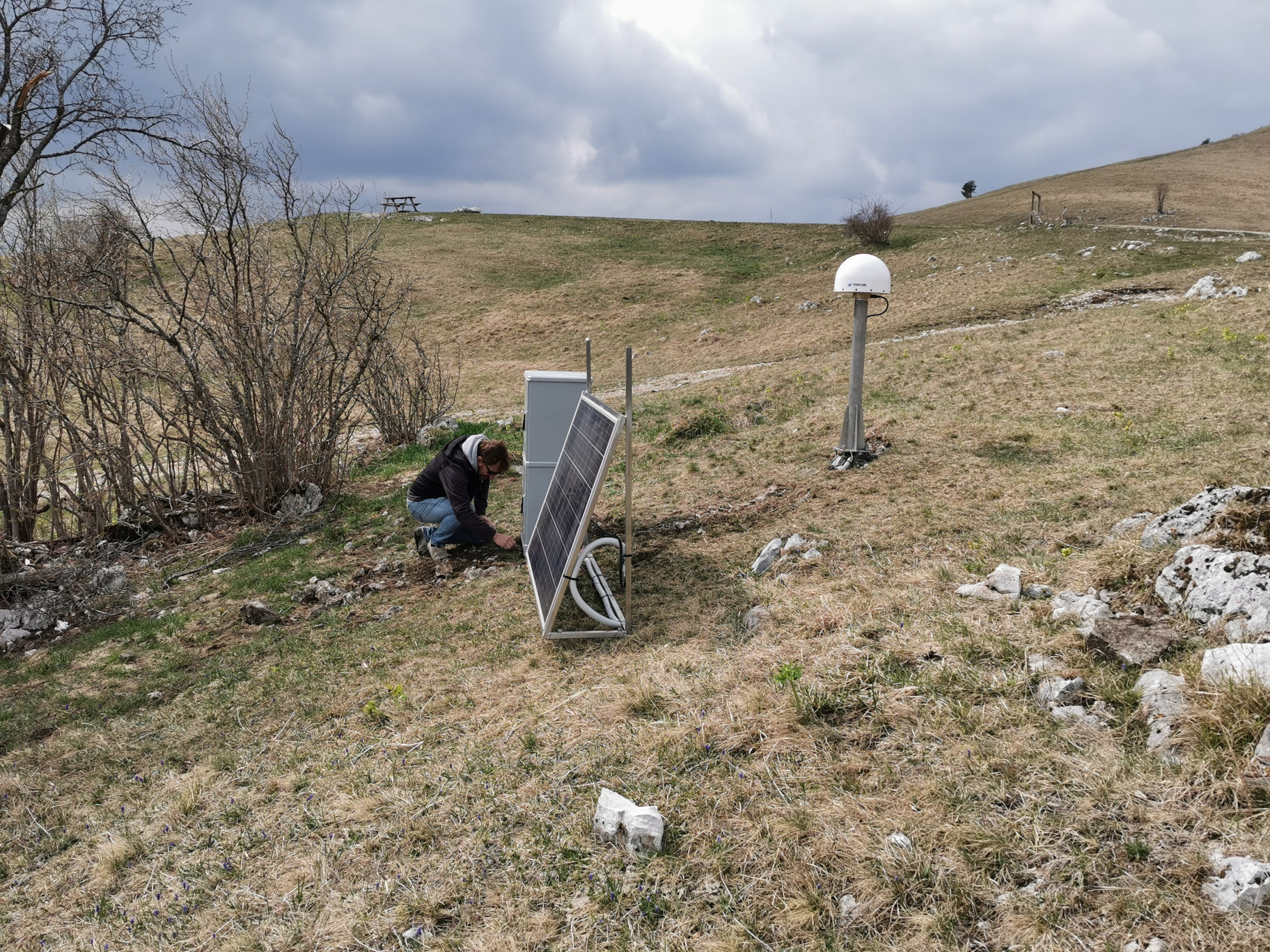
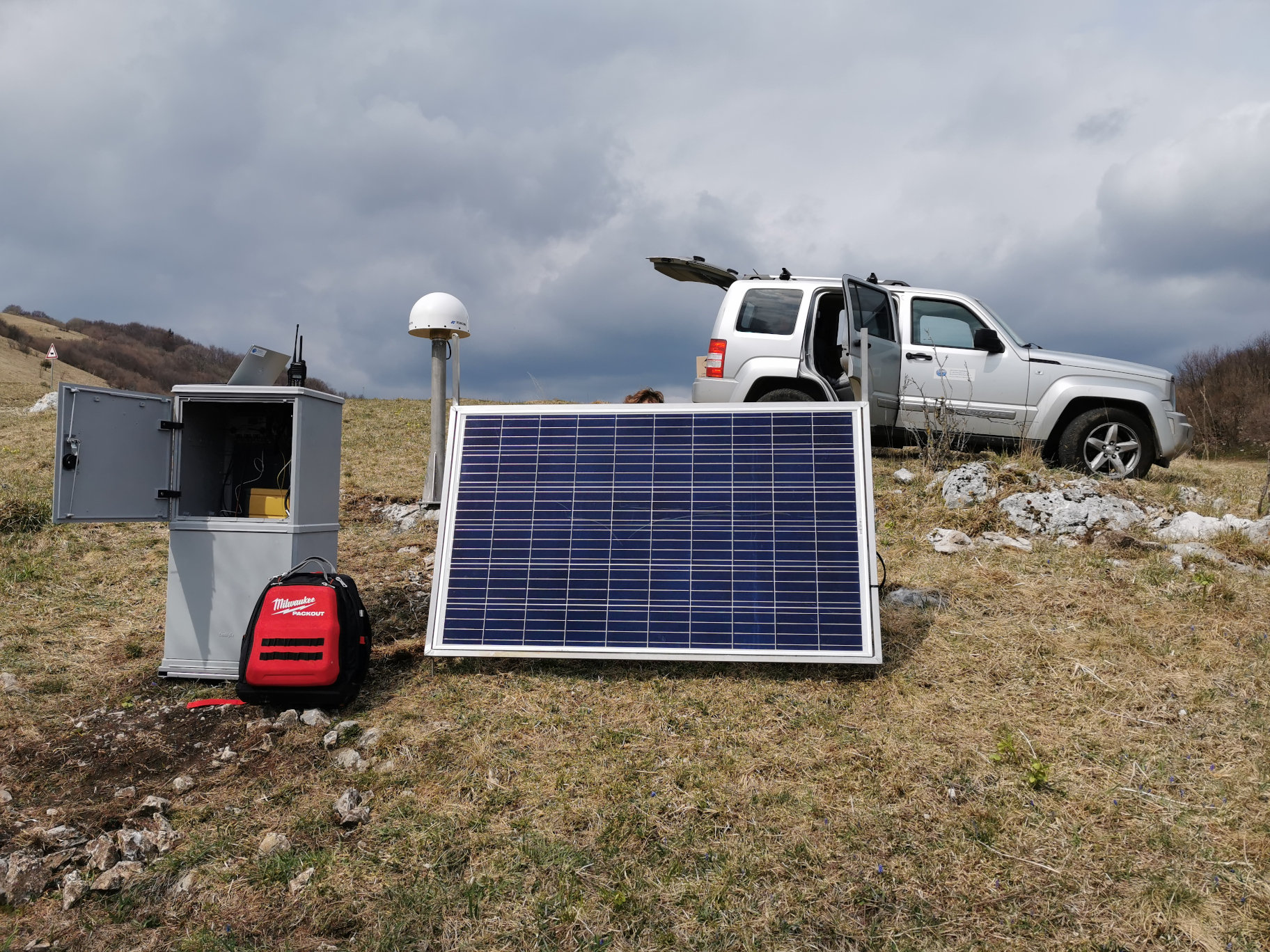
| Town or city | Valinis, Meduno (PN) | ||||||
| Day. of installation | dd/mm/yy | 09/04/2021 | |||||
| GPS time | week | 2152 | |||||
| day of year | 99 | ||||||
| Coordinates ITRS/WGS84-ITRF00(2008.0) | |||||||
|---|---|---|---|---|---|---|---|
| UTM | North (m) | N 5122208.759 | |||||
| East (m) | E 331043.495 | ||||||
| geog. | Lat | N 46° 13' 50,5452" | |||||
| Long | E 12° 48' 28.6530" | ||||||
| Ellipsoidal height (m) | 1031.325 | ||||||
| Coordinates ETRS89/IGM95-ETRF2000(2008.0) | |||||||
| UTM | North (m) | N 5114363.883 | |||||
| East (m) | E 7062232.611 | ||||||
| geog. | Lat | N 46° 13' 50,5378" | |||||
| Long | E 12° 48' 28.6359" | ||||||
| Ellipsoidal height (m) | 1031.334 | ||||||
| Coordinates ETRS89/IGM95-ETRF89(1989.0) * | |||||||
| UTM | North (m) | N 5114363.869 | |||||
| East (m) | E 7062232.597 | ||||||
| geog. | Lat | N 46° 13' 50.5374" | |||||
| Long | E 12° 48' 28.6352" | ||||||
| Ellipsoidal height (m) | 1031.163 | ||||||
| Coordinates ROMA40 * | |||||||
| Gauss Boaga | North (m) | N 5122039.051 | |||||
| East (m) | E 2350977.383 | ||||||
| geog. | Lat | N 46° 13' 48.1329" | |||||
| Long | E 0° 21' 20.8877" | ||||||
| Geodetic height (m) | 984.264 | ||||||
| Coordinates ED50 * | |||||||
| UTM | North (m) | N 5122208.759 | |||||
| East (m) | E 331043.495 | ||||||
| geog. | Lat | N 46° 13' 53.6863" | |||||
| Long | E 12° 48' 32.1530" | ||||||
| Geodetic height (m) | 984.264 | ||||||
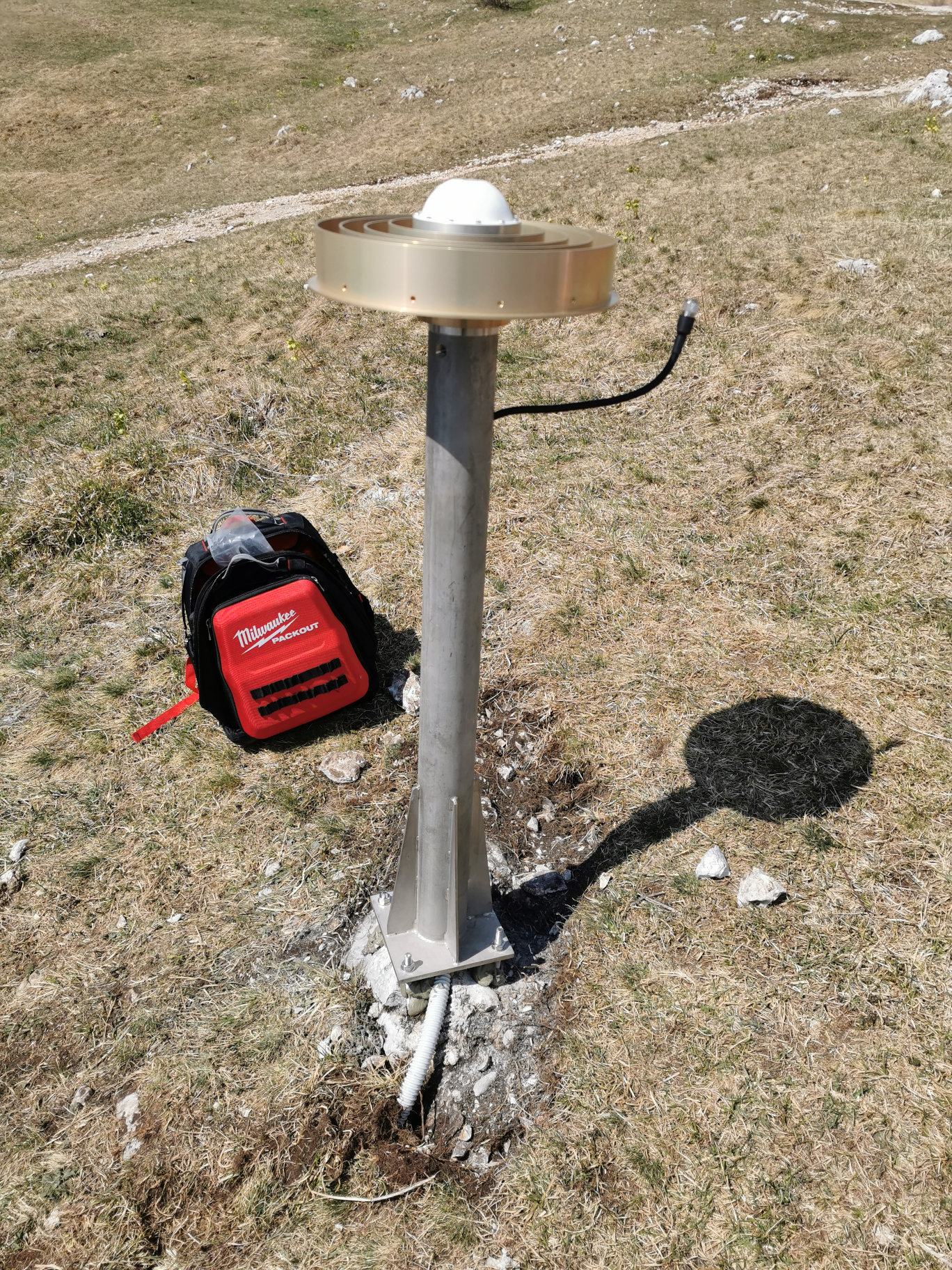
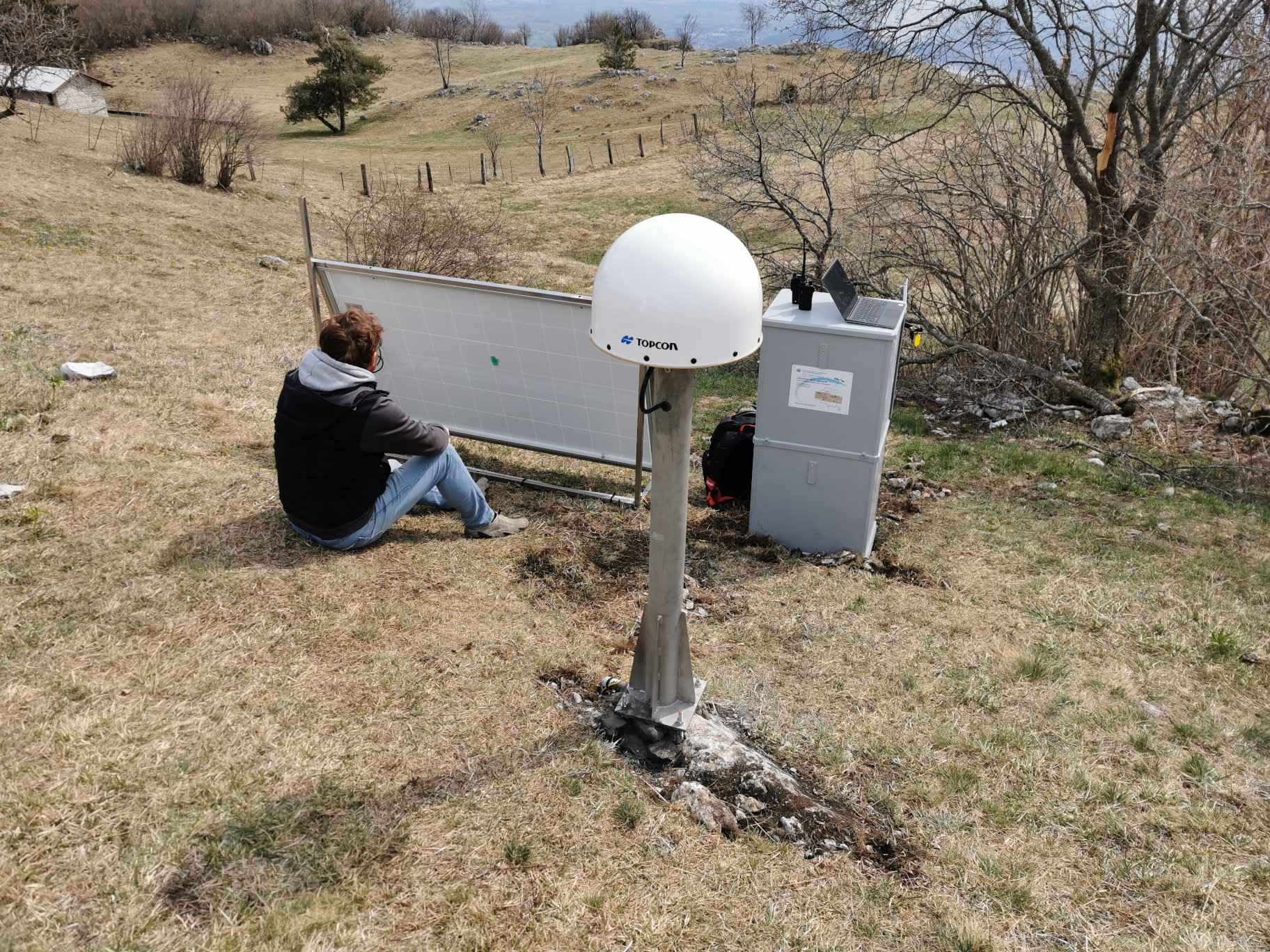
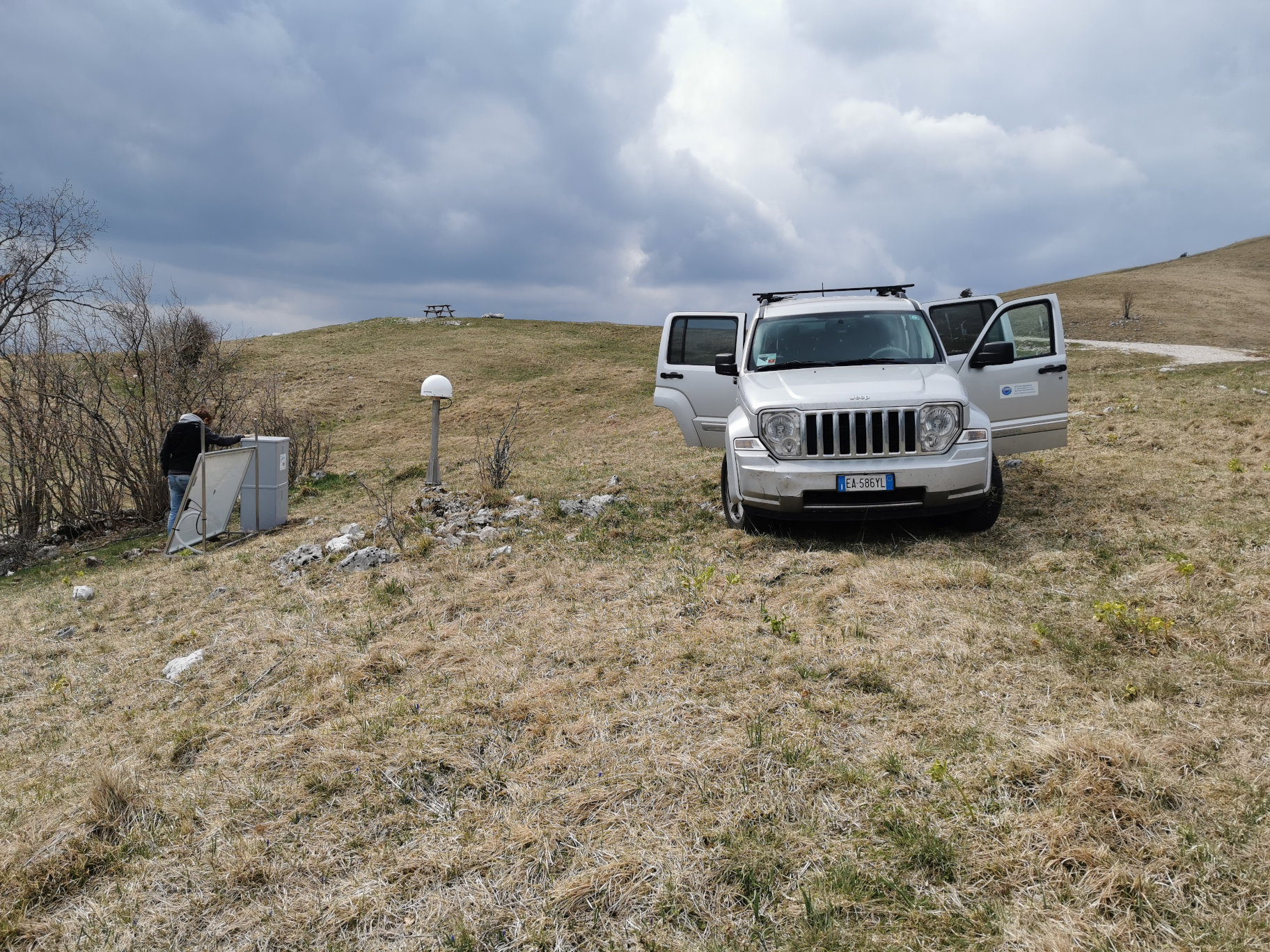
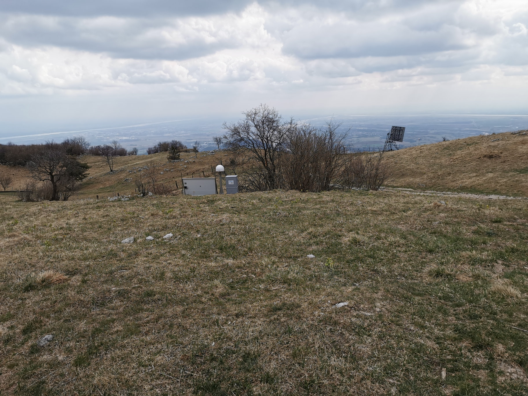
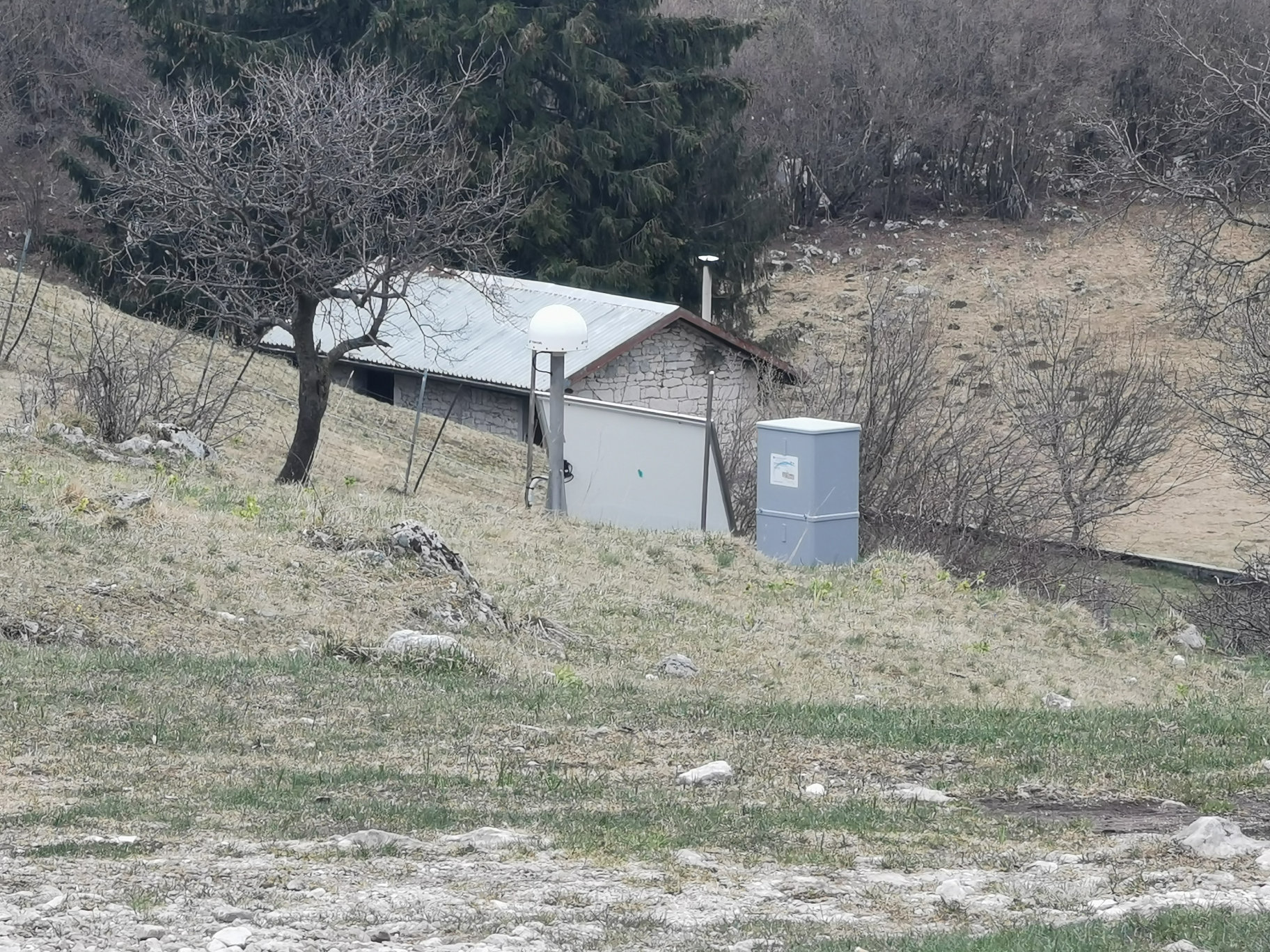
| Antenna | TPSCR.G5 | ||||||
| Receiver | TPS NET-G5 | ||||||
| Power supply | Pannelli fotovoltaici | ||||||
| Geology | |||||||
Loading chart. Collecting data... (points: 0)
The plots below are created daily and display:
Input are the station RINEX observation and navigation files. Consequently, the graphs give a snapshot of the station tracking for a specific date.
Skyplot not available
National Institute of Oceanography and Applied Geophysics - OGS
Centro di Ricerche Sismologiche
Via Treviso 55, 33100 Udine, Italy
gnss@ogs.it