Real time data
Loading...
Not available
Loading chart. Collecting data... (points: 0)
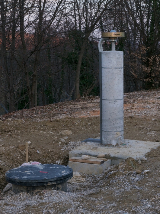
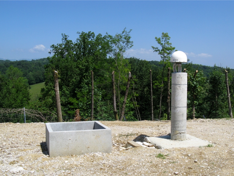
| Station ID | SUSE | ||||||
| Town or city | Collalto di Susegana (TV) | ||||||
| Day. of installation | dd/mm/yy | 18/02/2011 | |||||
| GPS time | week | 1623 | |||||
| day of year | 049 | ||||||
| Coordinates ITRS/WGS84-ITRF00(2008.0) | |||||||
|---|---|---|---|---|---|---|---|
| UTM | North (m) | N 5081950.834 | |||||
| East (m) | E 283295.192 | ||||||
| geog. | Lat | N 45° 51' 25.2554'' | |||||
| Long | E 12° 12' 30.6525'' | ||||||
| Ellipsoidal height (m) | 221.193 | ||||||
| Coordinates ETRS89/IGM95-ETRF2000(2008.0) | |||||||
| UTM | North (m) | N 5081949,959 | |||||
| East (m) | E 283295,162 | ||||||
| geog. | Lat | N 45° 51' 25.2271'' | |||||
| Long | E 12° 12' 30.6525'' | ||||||
| Ellipsoidal height (m) | 221.691 | ||||||
| Coordinates ETRS89/IGM95-ETRF89(1989.0) * | |||||||
| UTM | North (m) | N 5081949,930 | |||||
| East (m) | E 283295,155 | ||||||
| geog. | Lat | N 45° 51' 25.2261'' | |||||
| Long | E 12° 12' 30.6523'' | ||||||
| Ellipsoidal height (m) | 221.601 | ||||||
| Coordinates ROMA40 * | |||||||
| Gauss Boaga | North (m) | N 5081971.279 | |||||
| East (m) | E 2303298.855 | ||||||
| geog. | Lat | N 45° 51' 22.8261'' | |||||
| Long | E -0° 14' 36.9871'' | ||||||
| Geodetic height (m) | 176.025 | ||||||
| Coordinates ED50 * | |||||||
| UTM | North (m) | N 5082142.485 | |||||
| East (m) | E 283364.167 | ||||||
| geog. | Lat | N 45° 51' 28.4407'' | |||||
| Long | E 12° 12' 34.1605'' | ||||||
| Geodetic height (m) | 176.025 | ||||||
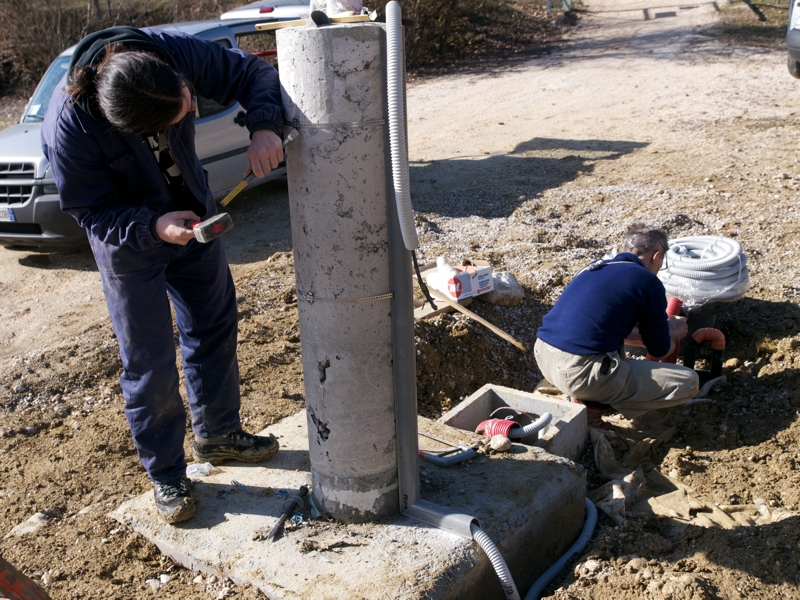
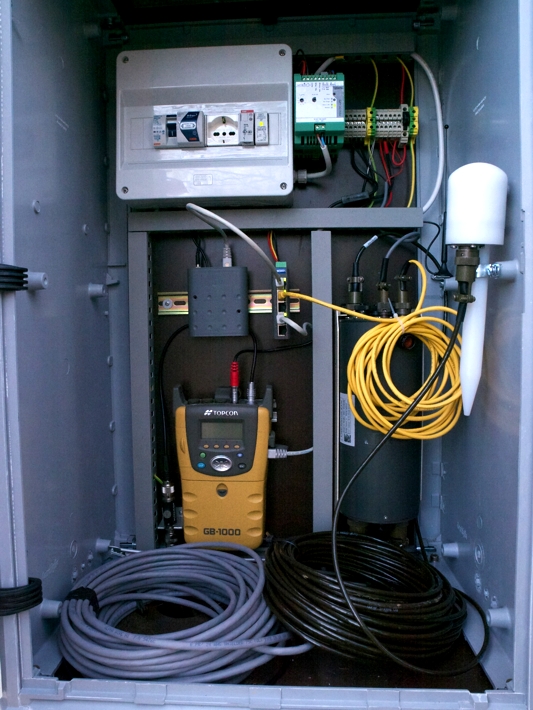
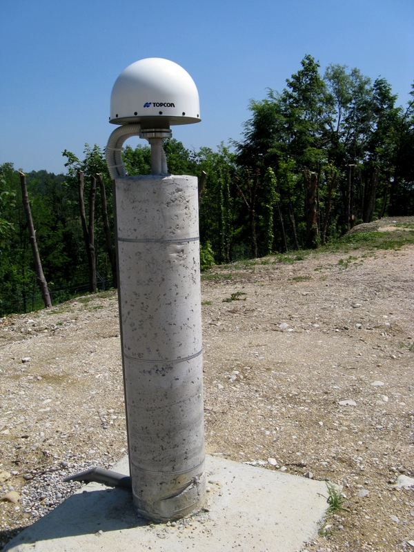
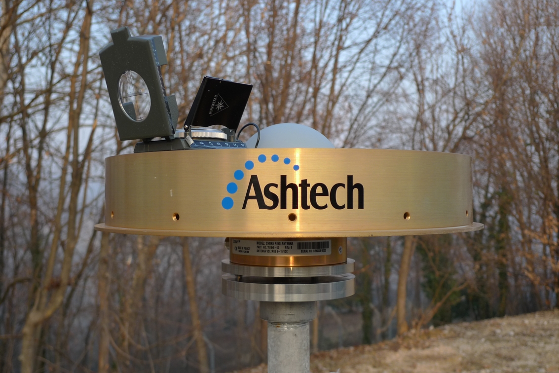
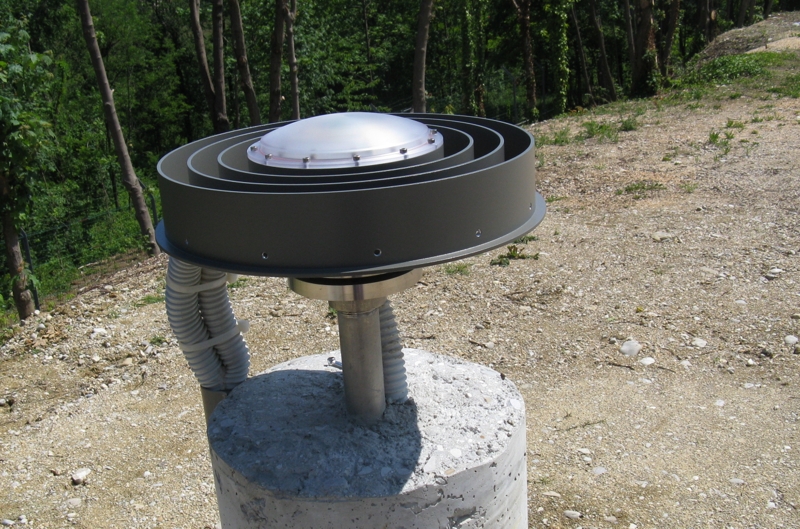
| Antenna | TPSCR.G3 TPSH | ||||||
| Receiver | TPS NET-G5 | ||||||
| Power supply | Alimentazione di rete 220V ac | ||||||
| Geology | Conglomerati poligenici (Miocene sup.) | ||||||
Loading chart. Collecting data... (points: 0)
The plots below are created daily and display:
Input are the station RINEX observation and navigation files. Consequently, the graphs give a snapshot of the station tracking for a specific date.
Skyplot not available

National Institute of Oceanography and Applied Geophysics - OGS
Centro di Ricerche Sismologiche
Via Treviso 55, 33100 Udine, Italy
gnss@ogs.it