Real time data
Loading...
Not available
Loading chart. Collecting data... (points: 0)
| Station ID | TRIE | ||||||
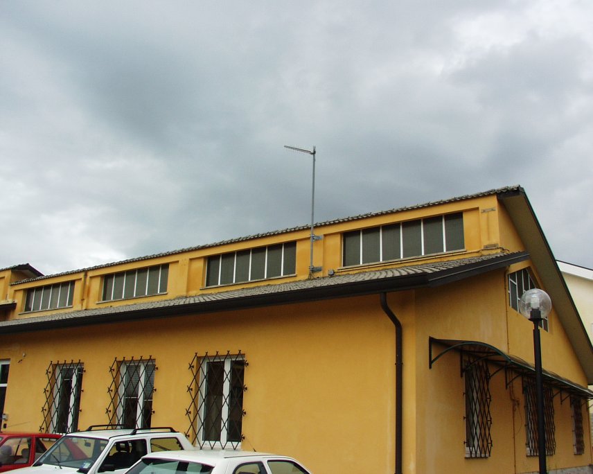
| Town or city | Borgo Grotta Gigante, Sgonico (TS) | ||||||
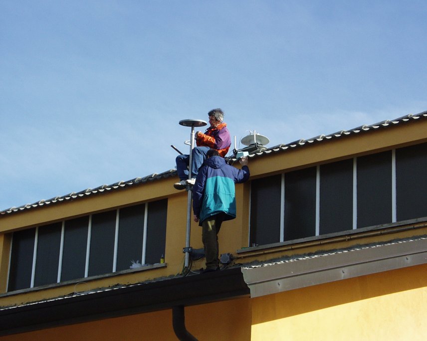
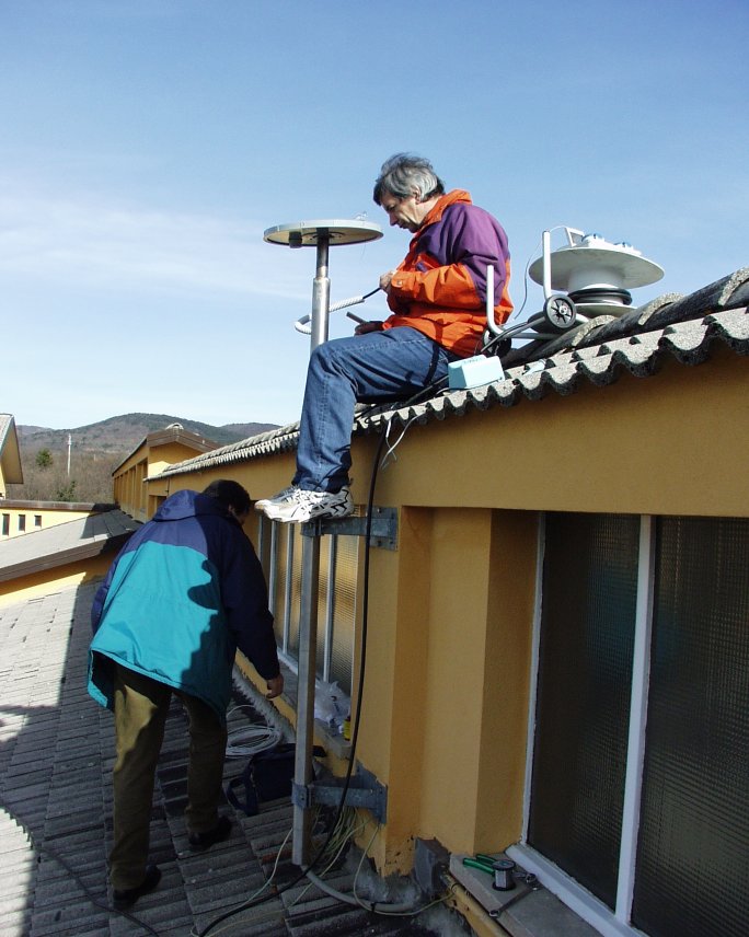
| Day. of installation | dd/mm/yy | 05/02/2003 | |||||
| GPS time | week | 1204 | |||||
| day of year | 036 | ||||||
| Coordinates ITRS/WGS84-ITRF00(2008.0) | |||||||
|---|---|---|---|---|---|---|---|
| UTM | North (m) | N 5062543.778 | |||||
| East (m) | E 403757.366 | ||||||
| geog. | Lat | N 45° 42' 35.1262" | |||||
| Long | E 13° 45' 48.6753" | ||||||
| Ellipsoidal height (m) | 323.398 | ||||||
| Coordinates ETRS89/IGM95-ETRF2000(2008.0) | |||||||
| UTM | North (m) | N 5062543.436 | |||||
| East (m) | E 403756.990 | ||||||
| geog. | Lat | N 45° 42' 35.1150" | |||||
| Long | E 13° 45' 48.6582" | ||||||
| Ellipsoidal height (m) | 323.408 | ||||||
| Coordinates ETRS89/IGM95-ETRF89(1989.0) * | |||||||
| UTM | North (m) | N 5062 543.402 | |||||
| East (m) | E 403756.985 | ||||||
| geog. | Lat | N 45° 42' 35.1138" | |||||
| Long | E 13° 45' 48.6580" | ||||||
| Ellipsoidal height (m) | 323.262 | ||||||
| Coordinates ROMA40 * | |||||||
| Gauss Boaga | North (m) | N 5062566.357 | |||||
| East (m) | E 2423762.848 | ||||||
| geog. | Lat | N 45° 42' 32.7750" | |||||
| Long | E 1° 18' 40.7883" | ||||||
| Geodetic height (m) | 278.430 | ||||||
| Coordinates ED50 * | |||||||
| UTM | North (m) | N 5062735.356 | |||||
| East (m) | E 403828.314 | ||||||
| geog. | Lat | N 45° 42' 38.2824" | |||||
| Long | E 13° 45' 52.0946" | ||||||
| Geodetic height (m) | 278.430 | ||||||
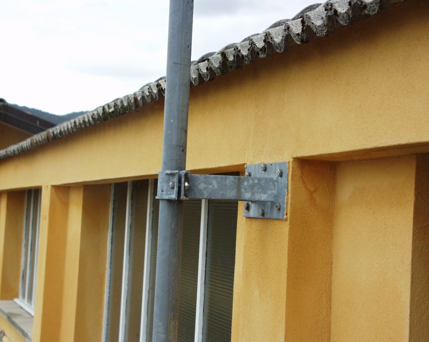
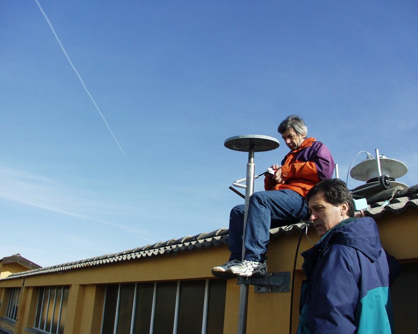
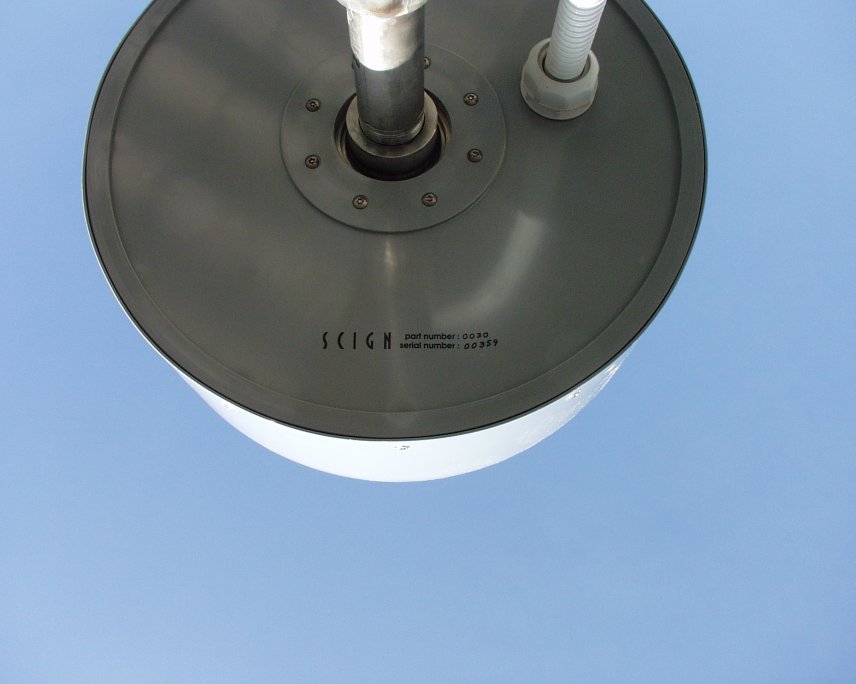
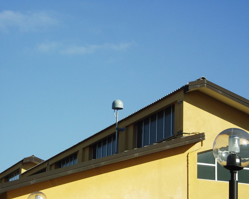
| Antenna | ASH701945E_M | ||||||
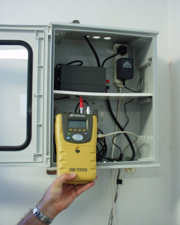
| Receiver | TPS NET-G5 | ||||||
| Power supply | Alimentazione di rete 220V ac | ||||||
| Geology | Calcari (Giurassico-Cretacico) | ||||||
Loading chart. Collecting data... (points: 0)
The plots below are created daily and display:
Input are the station RINEX observation and navigation files. Consequently, the graphs give a snapshot of the station tracking for a specific date.
Skyplot not available
National Institute of Oceanography and Applied Geophysics - OGS
Centro di Ricerche Sismologiche
Via Treviso 55, 33100 Udine, Italy
gnss@ogs.it