Real time data
Loading...
Not available
Loading chart. Collecting data... (points: 0)
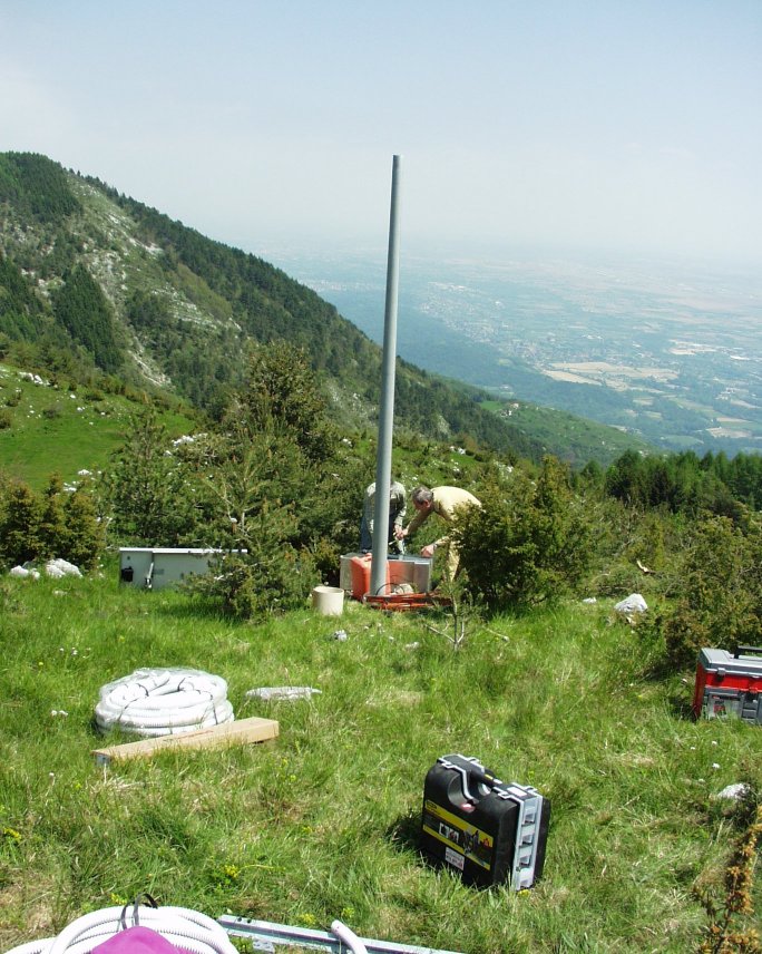
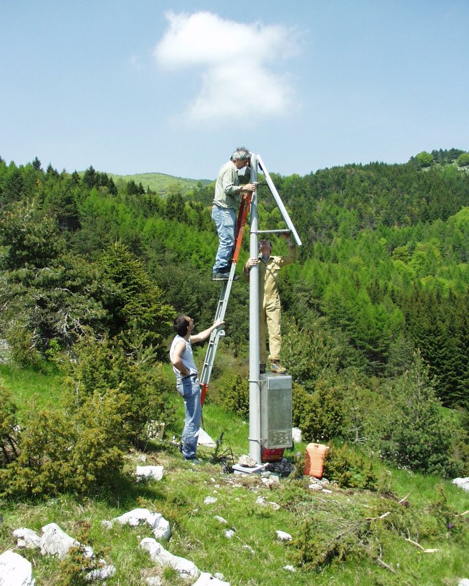
| Station ID | CANV | ||||||
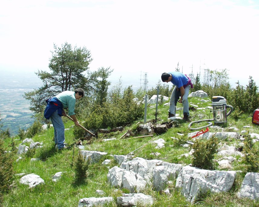
| Town or city | Malga Coda di Bosco, Caneva (PN) | ||||||
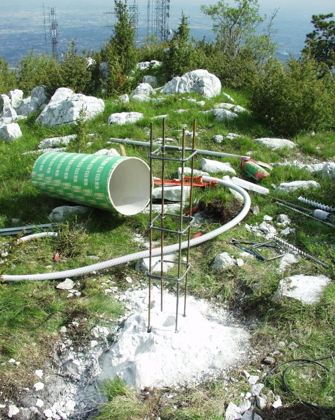
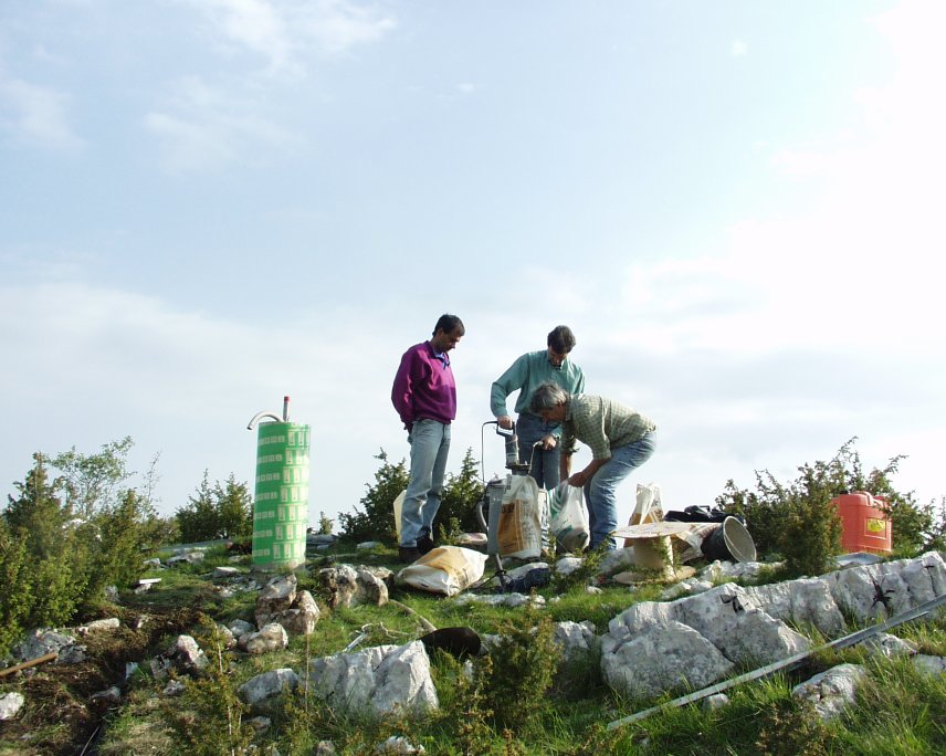
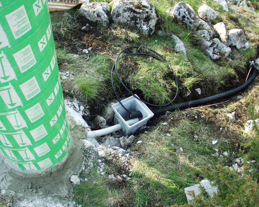
| Day. of installation | dd/mm/yy | 19/05/2004 | |||||
| GPS time | week | 1271 | |||||
| day of year | 140 | ||||||
| Coordinates ITRS/WGS84-ITRF00(2008.0) | |||||||
|---|---|---|---|---|---|---|---|
| UTM | North (m) | N 5098167.994 | |||||
| East (m) | E 301419.672 | ||||||
| geog. | Lat | N 46° 00' 29.8599" | |||||
| Long | E 12° 26' 06.0757" | ||||||
| Ellipsoidal height (m) | 965.907 | ||||||
| Coordinates ETRS89/IGM95-ETRF2000(2008.0) | |||||||
| UTM | North (m) | N 5098167.656 | |||||
| East (m) | E 301419.298 | ||||||
| geog. | Lat | N 46° 00' 29.8485" | |||||
| Long | E 12° 26' 06.0588" | ||||||
| Ellipsoidal height (m) | 965.915 | ||||||
| Coordinates ETRS89/IGM95-ETRF89(1989.0) * | |||||||
| UTM | North (m) | N 5098167.633 | |||||
| East (m) | E 301419.283 | ||||||
| geog. | Lat | N 46° 00' 29.8478" | |||||
| Long | E 12° 26' 06.0581" | ||||||
| Ellipsoidal height (m) | 965.798 | ||||||
| Coordinates ROMA40 * | |||||||
| Gauss Boaga | North (m) | N 5098189.575 | |||||
| East (m) | E 2321423.026 | ||||||
| geog. | Lat | N 46° 00' 27.4476" | |||||
| Long | E -0° 01' 01.6256" | ||||||
| Geodetic height (m) | 919.556 | ||||||
| Coordinates ED50 * | |||||||
| UTM | North (m) | N 5098360.101 | |||||
| East (m) | E 301488.777 | ||||||
| geog. | Lat | N 46° 00' 33.0357" | |||||
| Long | E 12° 26' 09.5733" | ||||||
| Geodetic height (m) | 919.669 | ||||||
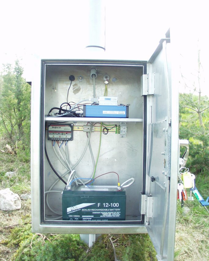
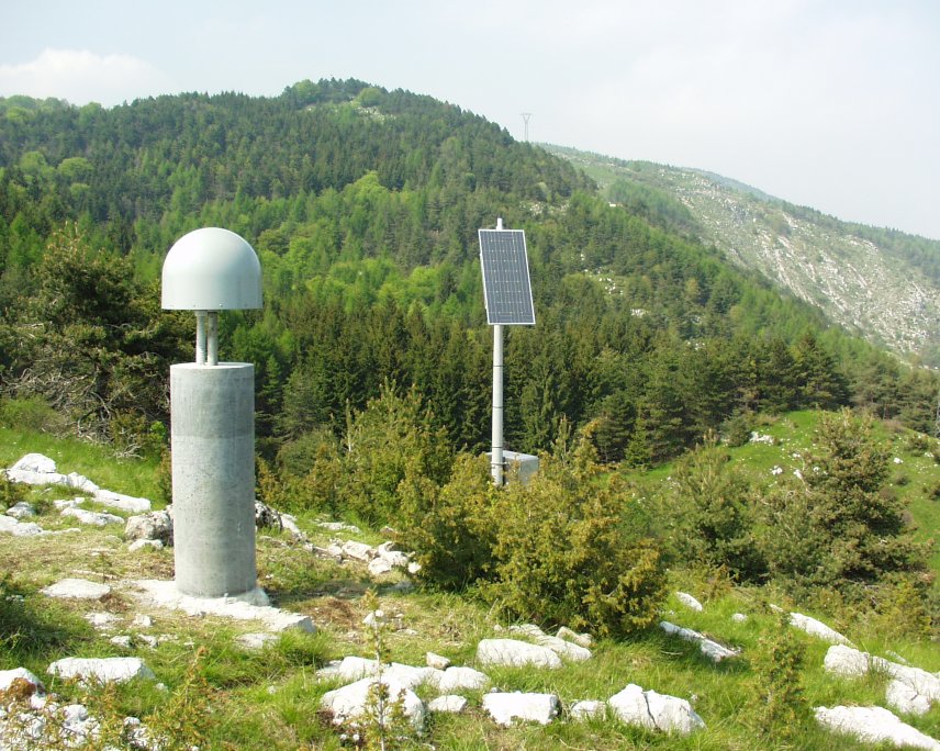
| Antenna | ASH701945E_M | ||||||
| Receiver | TPS NET-G5 | ||||||
| Power supply | Pannelli fotovoltaici | ||||||
| Geology | Calcari (Cretacico superiore - medio) | ||||||
Loading chart. Collecting data... (points: 0)
The plots below are created daily and display:
Input are the station RINEX observation and navigation files. Consequently, the graphs give a snapshot of the station tracking for a specific date.
Skyplot not available
National Institute of Oceanography and Applied Geophysics - OGS
Centro di Ricerche Sismologiche
Via Treviso 55, 33100 Udine, Italy
gnss@ogs.it