Real time data
Loading...
Not available
Loading chart. Collecting data... (points: 0)
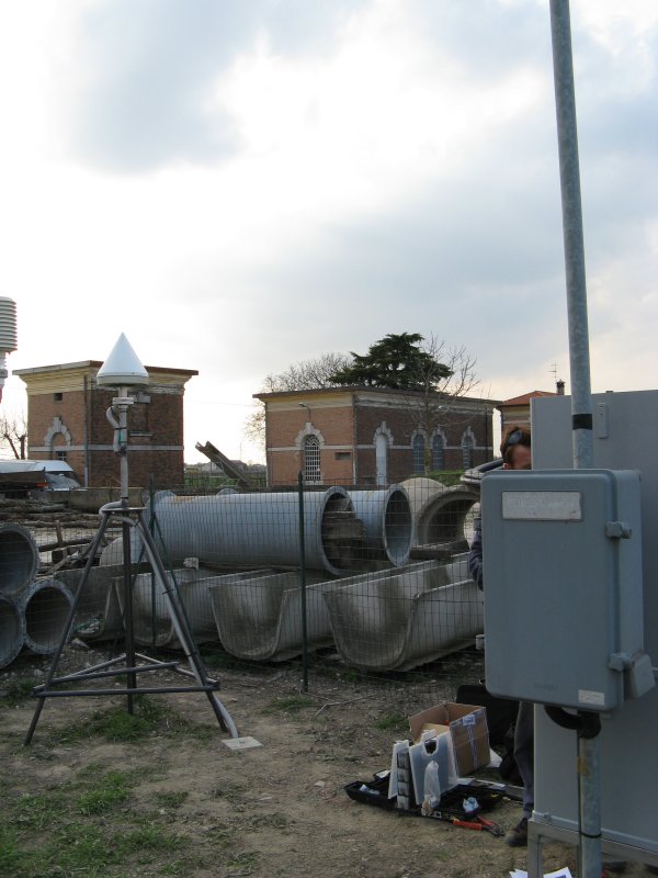
| Station ID | NOVE | ||||||
| Town or city | Cons. Bonifica Basso Piave, Noventa di Piave (VE) | ||||||
| Day. of installation | dd/mm/yy | 27/03/2009 | |||||
| GPS time | week | 1524 | |||||
| day of year | 086 | ||||||
| Coordinates ITRS/WGS84-ITRF00(2008.0) | |||||||
|---|---|---|---|---|---|---|---|
| UTM | North (m) | N 5060037.978 | |||||
| East (m) | E 312154.605 | ||||||
| geog. | Lat | N 45° 40' 06.3648" | |||||
| Long | E 12° 35' 18.3041" | ||||||
| Ellipsoidal height (m) | 47.858 | ||||||
| Coordinates ETRS89/IGM95-ETRF2000(2008.0) | |||||||
| UTM | North (m) | N 5060037.639 | |||||
| East (m) | E 312154.229 | ||||||
| geog. | Lat | N 45° 40' 06.3535" | |||||
| Long | E 12° 35' 18.2873" | ||||||
| Ellipsoidal height (m) | 47.867 | ||||||
| Coordinates ETRS89/IGM95-ETRF89(1989.0) * | |||||||
| UTM | North (m) | N 5060037.608 | |||||
| East (m) | E 312154.227 | ||||||
| geog. | Lat | N 45° 40' 06.3525" | |||||
| Long | E 12° 35' 18.2872" | ||||||
| Ellipsoidal height (m) | 47.778 | ||||||
| Coordinates ROMA40 * | |||||||
| Gauss Boaga | North (m) | N 5060058.546 | |||||
| East (m) | E 2332158.544 | ||||||
| geog. | Lat | N 45° 40' 03.9592" | |||||
| Long | E 0° 08' 10.5942" | ||||||
| Geodetic height (m) | 3.986 | ||||||
| Coordinates ED50 * | |||||||
| UTM | North (m) | N 5060229.532 | |||||
| East (m) | E 312223.453 | ||||||
| geog. | Lat | N 45° 40' 09.5579" | |||||
| Long | E 12° 35' 21.7536" | ||||||
| Geodetic height (m) | 3.986 | ||||||
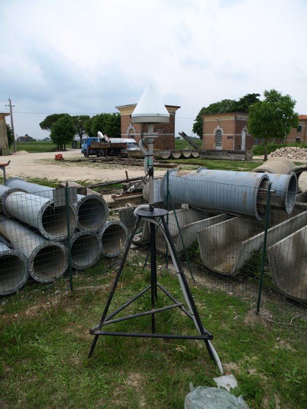
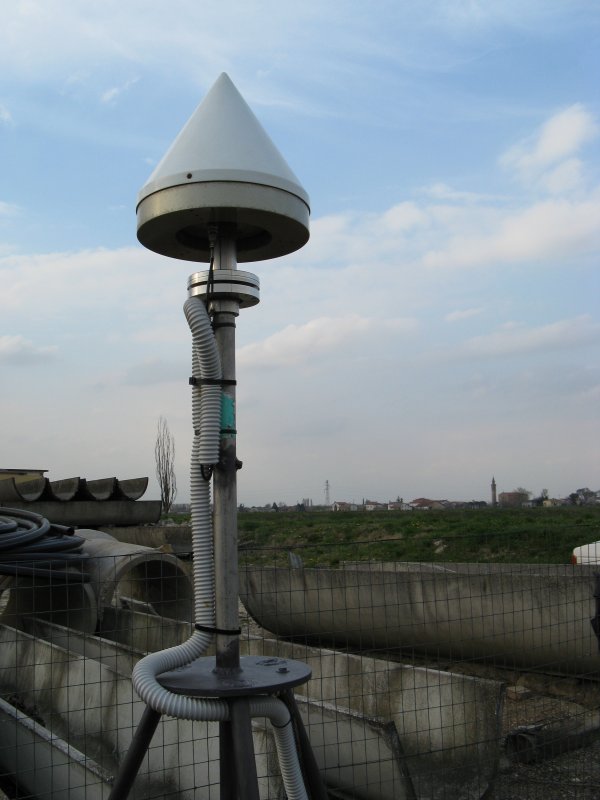
| Antenna | TPSCR3_GGD | ||||||
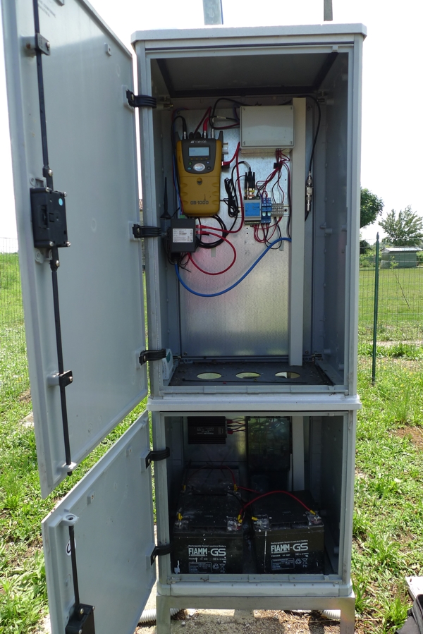
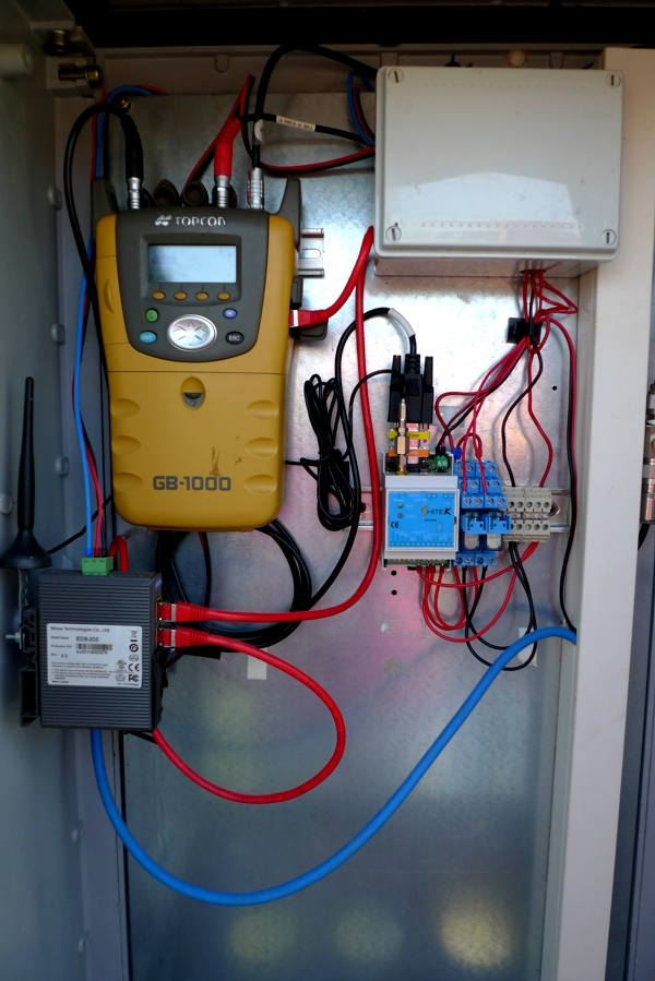
| Receiver | TPS NET-G5 | ||||||
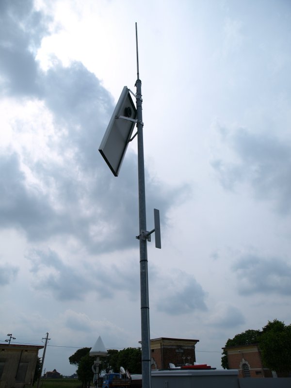
| Power supply | Alimentazione di rete 220V ac | ||||||
| Geology | Ghiaie alluvionali (Quaternario) | ||||||
Loading chart. Collecting data... (points: 0)
The plots below are created daily and display:
Input are the station RINEX observation and navigation files. Consequently, the graphs give a snapshot of the station tracking for a specific date.
Skyplot not available
National Institute of Oceanography and Applied Geophysics - OGS
Centro di Ricerche Sismologiche
Via Treviso 55, 33100 Udine, Italy
gnss@ogs.it