Real time data
Loading...
Not available
Loading chart. Collecting data... (points: 0)
| Station ID | PAZO | ||||||
| Town or city | Palazzolo dello Stella (UD) | ||||||
| Day. of installation | dd/mm/yy | 05/12/2007 | |||||
| GPS time | week | 1456 | |||||
| day of year | 339 | ||||||
| Coordinates ITRS/WGS84-ITRF00(2008.0) | |||||||
|---|---|---|---|---|---|---|---|
| UTM | North (m) | N 5074306.484 | |||||
| East (m) | E 348678.463 | ||||||
| geog. | Lat | N 45° 48' 20.6011" | |||||
| Long | E 13° 03' 09.1863" | ||||||
| Ellipsoidal height (m) | 50.063 | ||||||
| Coordinates ETRS89/IGM95-ETRF2000(2008.0) | |||||||
| UTM | North (m) | N 5074306.144 | |||||
| East (m) | E 348678.088 | ||||||
| geog. | Lat | N 45° 48' 20.5898" | |||||
| Long | E 13° 03' 09.1693" | ||||||
| Ellipsoidal height (m) | 50.072 | ||||||
| Coordinates ETRS89/IGM95-ETRF89(1989.0) * | |||||||
| UTM | North (m) | N 5074306.119 | |||||
| East (m) | E 348678.078 | ||||||
| geog. | Lat | N 45° 48' 20.5889" | |||||
| Long | E 13° 03' 09.1689" | ||||||
| Ellipsoidal height (m) | 49.942 | ||||||
| Coordinates ROMA40 * | |||||||
| Gauss Boaga | North (m) | N 5074327.956 | |||||
| East (m) | E 2368682.903 | ||||||
| geog. | Lat | N 45° 48' 18.2060" | |||||
| Long | E 0° 36' 01.4025" | ||||||
| Geodetic height (m) | 6.190 | ||||||
| Coordinates ED50 * | |||||||
| UTM | North (m) | N 5074498.178 | |||||
| East (m) | E 348748.413 | ||||||
| geog. | Lat | N 45° 48' 23.7699" | |||||
| Long | E 13° 03' 12.6436" | ||||||
| Geodetic height (m) | 6.190 | ||||||
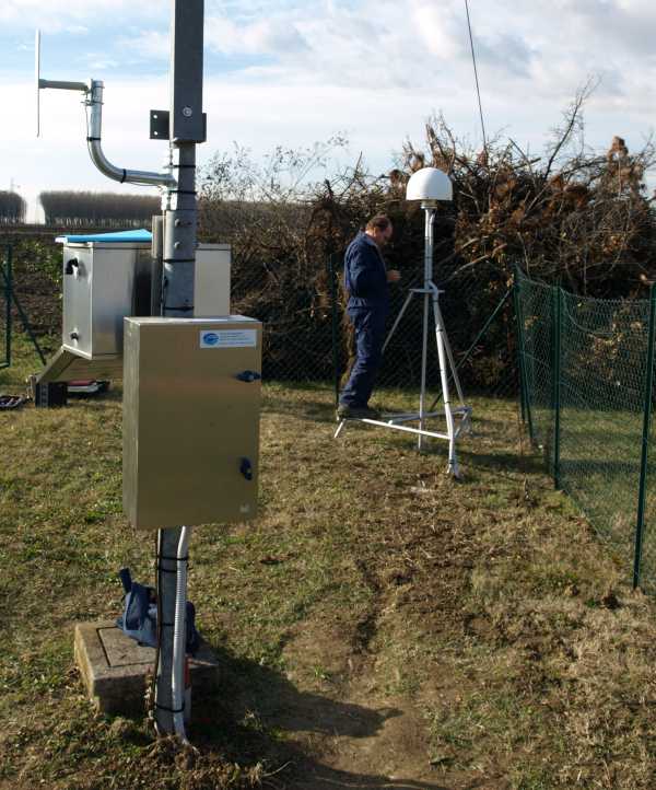
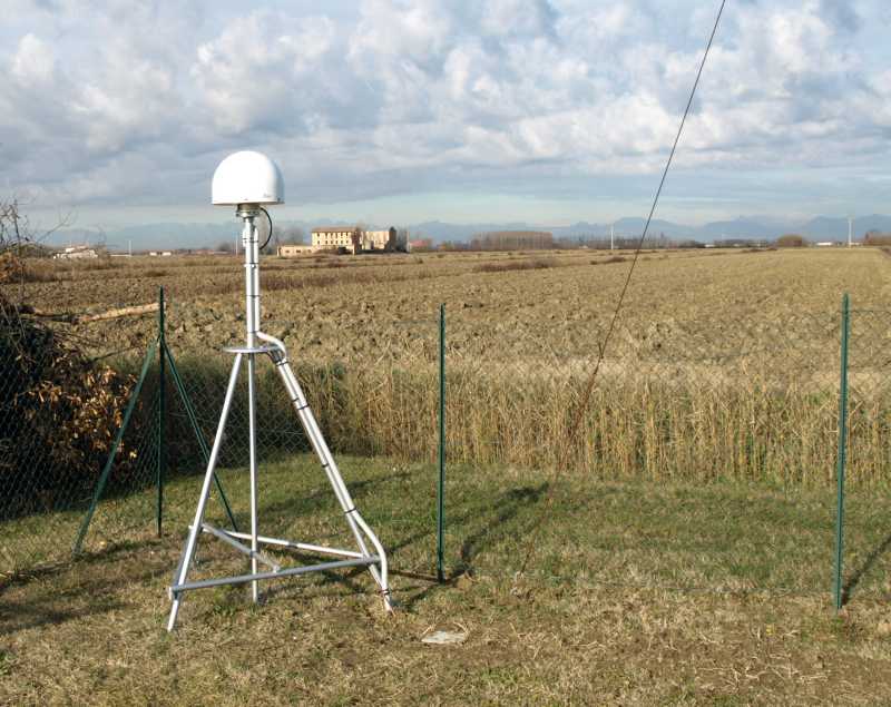
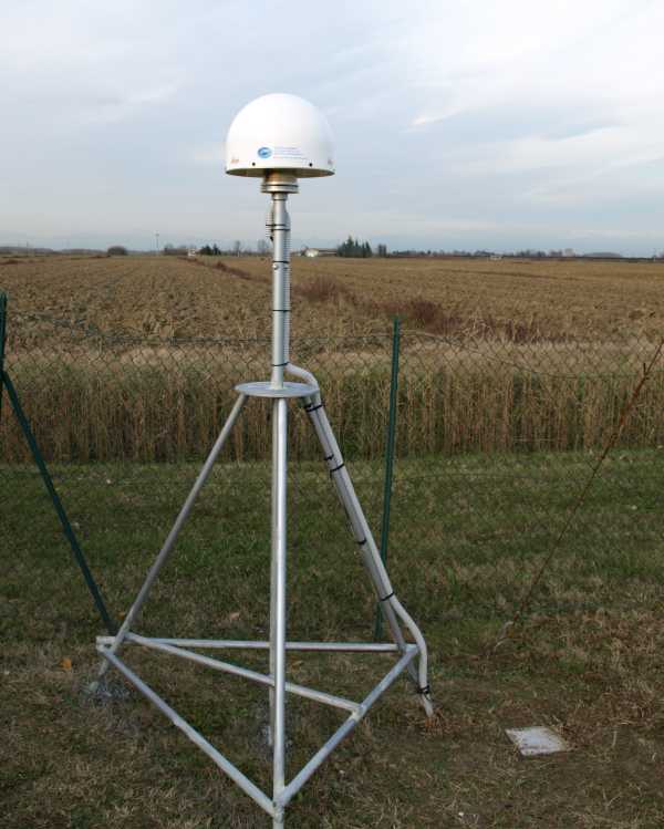
| Antenna | LEIAT504 | ||||||
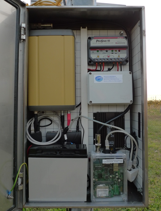
| Receiver | TPS NET-G3A | ||||||
| Power supply | Alimentazione di rete 220V ac | ||||||
| Geology | Ghiaie alluvionali (Quaternario) | ||||||
Loading chart. Collecting data... (points: 0)
The plots below are created daily and display:
Input are the station RINEX observation and navigation files. Consequently, the graphs give a snapshot of the station tracking for a specific date.
Skyplot not available
National Institute of Oceanography and Applied Geophysics - OGS
Centro di Ricerche Sismologiche
Via Treviso 55, 33100 Udine, Italy
gnss@ogs.it