Real time data
Loading...
Not available
Loading chart. Collecting data... (points: 0)
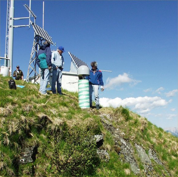
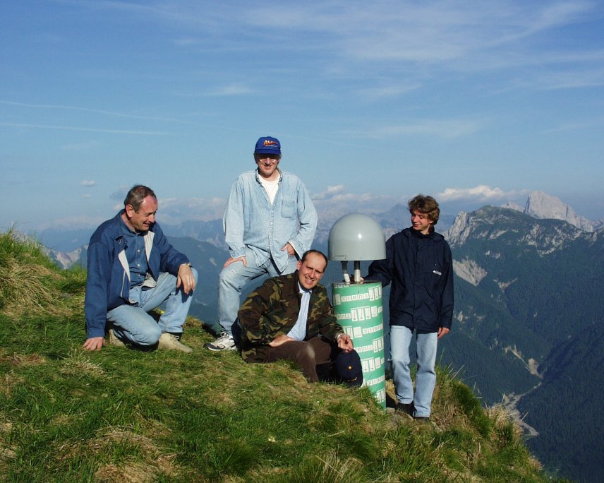
| Station ID | ZOUF | ||||||
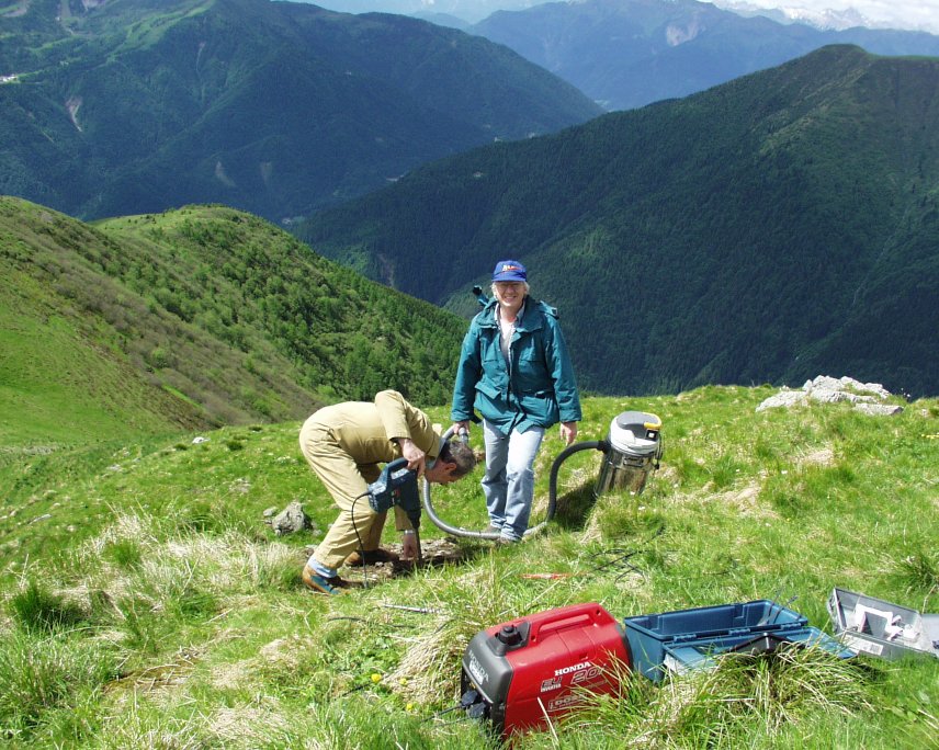
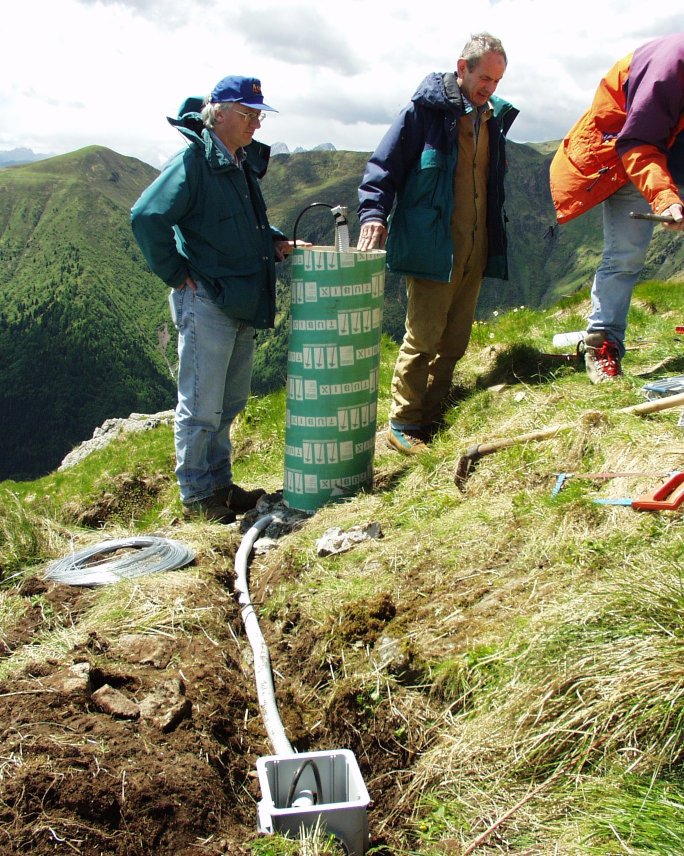
| Town or city | Zouf Plan, Cercivento (UD) | ||||||
| Day. of installation | dd/mm/yy | 11/06/2002 | |||||
| GPS time | week | 1170 | |||||
| day of year | 162 | ||||||
| Coordinates ITRS/WGS84-ITRF00(2008.0) | |||||||
|---|---|---|---|---|---|---|---|
| UTM | North (m) | N 5157956.335 | |||||
| East (m) | E 344671.786 | ||||||
| geog. | Lat | N 46° 33' 25.9942" | |||||
| Long | E 12° 58' 24.7897" | ||||||
| Ellipsoidal height (m) | 1946.493 | ||||||
| Coordinates ETRS89/IGM95-ETRF2000(2008.0) | |||||||
| UTM | North (m) | N 5157955.996 | |||||
| East (m) | E 344671.415 | ||||||
| geog. | Lat | N 46° 33' 25.9829" | |||||
| Long | E 12° 58' 24.7726" | ||||||
| Ellipsoidal height (m) | 1946.501 | ||||||
| Coordinates ETRS89/IGM95-ETRF89(1989.0) * | |||||||
| UTM | North (m) | N 5157955.985 | |||||
| East (m) | E 344671.393 | ||||||
| geog. | Lat | N 46° 33' 25.9825" | |||||
| Long | E 12° 58' 24.7716" | ||||||
| Ellipsoidal height (m) | 1946.341 | ||||||
| Coordinates ROMA40 * | |||||||
| Gauss Boaga | North (m) | N 5157979.818 | |||||
| East (m) | E 2364675.174 | ||||||
| geog. | Lat | N 46° 33' 23.5749" | |||||
| Long | E 0° 31' 16.9805" | ||||||
| Geodetic height (m) | 1897.135 | ||||||
| Coordinates ED50 * | |||||||
| UTM | North (m) | N 5158147.949 | |||||
| East (m) | E 344742.015 | ||||||
| geog. | Lat | N 46° 33' 29.0740" | |||||
| Long | E 12° 58' 28.3150" | ||||||
| Geodetic height (m) | 1897.135 | ||||||
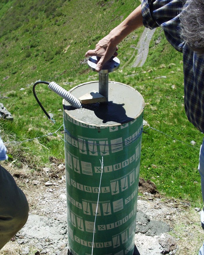
| Antenna | ASH701945C_M | ||||||
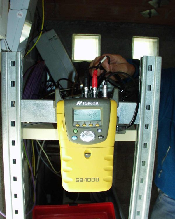
| Receiver | TOPCON GB-1000 | ||||||
| Power supply | Pannelli fotovoltaici | ||||||
| Geology | Porfiriti - Diabasi (Carbonifero) | ||||||
Loading chart. Collecting data... (points: 0)
The plots below are created daily and display:
Input are the station RINEX observation and navigation files. Consequently, the graphs give a snapshot of the station tracking for a specific date.
Skyplot not available


Not available
National Institute of Oceanography and Applied Geophysics - OGS
Centro di Ricerche Sismologiche
Via Treviso 55, 33100 Udine, Italy
gnss@ogs.it